Astoria in Clatsop County, Oregon — The American West (Northwest)
Pilots on the Columbia River
Ship Safety Requires Knowledge of Local Conditions
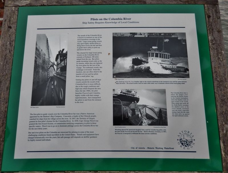
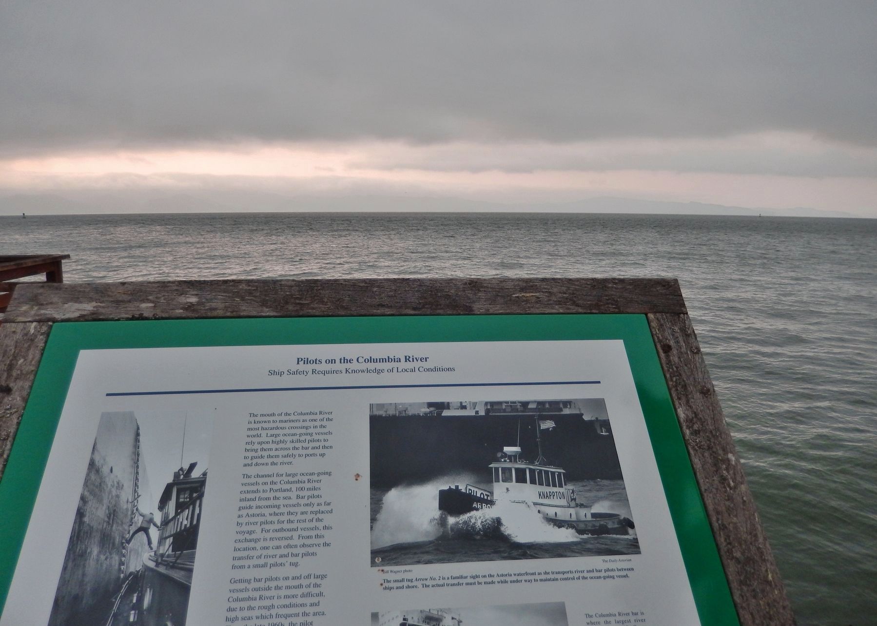
The mouth of the Columbia River is known to mariners as one of the most hazardous crossings in the world. Large ocean-going vessels rely upon highly skilled pilots to bring them across the bar and then to guide them safely to ports up and down the river.
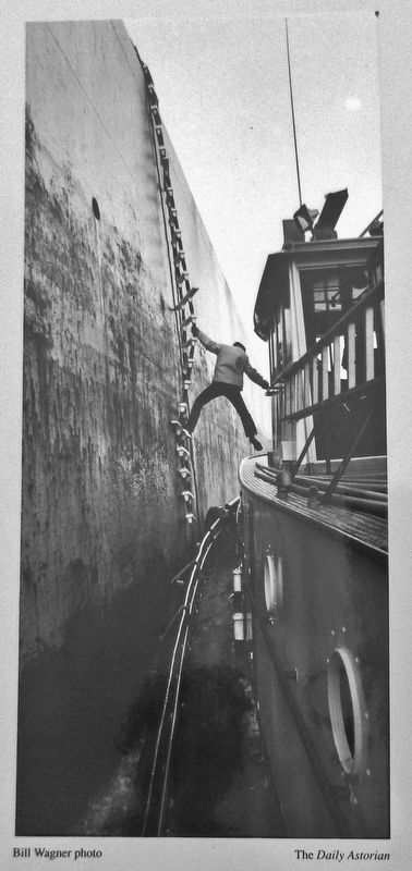
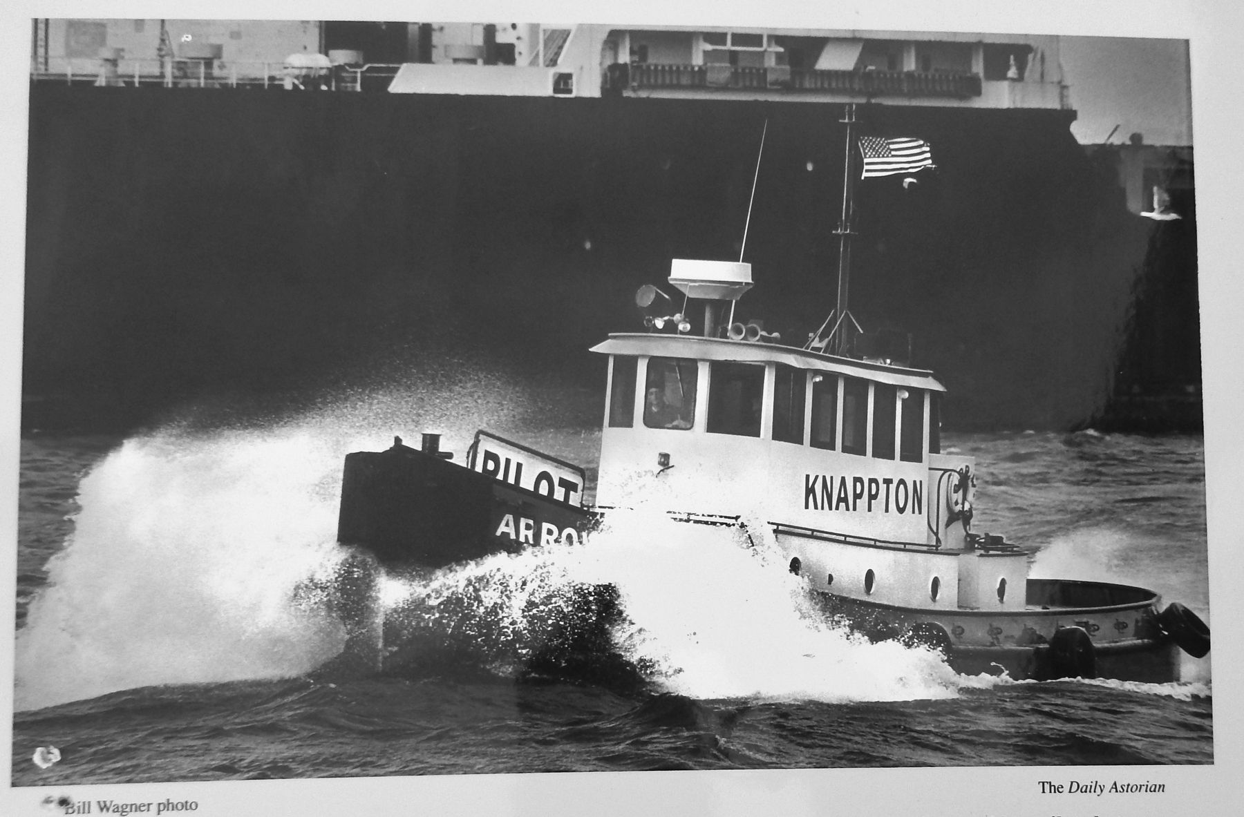
The channel for large ocean-going vessels on the Columbia River extends to Portland, 100 miles inland from the sea. Bar pilots guide incoming vessels only as far as Astoria, where they are replaced by river pilots for the rest of the voyage. For outbound vessels, this exchange is reversed. From this location, one can often observe the transfer of river and bar pilots from a small pilots' tug.
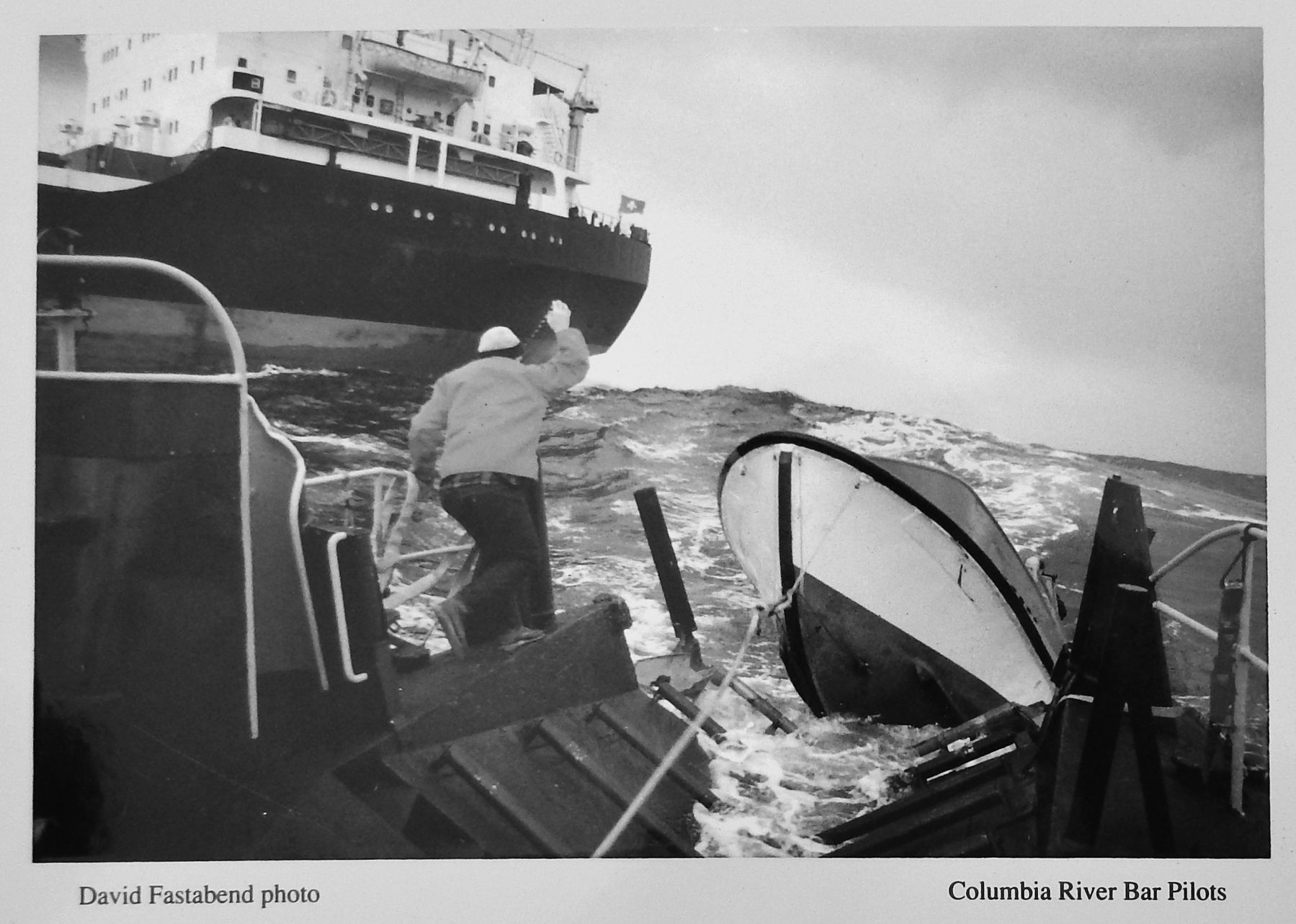
Getting bar pilots on and off large vessels outside the mouth of the Columbia River is more difficult, due to the rough conditions and high seas which frequent the area. Since the late 1960s, the pilot launches Peacock and Columbia, highly visible with their orange superstructures, have transported bar pilots to and from the entrance to the river.
The first pilot to guide vessels over the Columbia River bar was a Native American appointed by the Hudson's Bay Company. Concomly, a leader of the Chinook people, watched for ships from his village across the river. In 1847, the Territory of Oregon granted its first pilot's license for the Columbia River. In 1850, Capt. George Flavel was granted the first branch license, or commission certifying competency to pilot in these specific waters. Flavel was to go on to dominate pilotage across the Columbia River bar for the next thirty years.
Bar and river pilots on the Columbia are renowned for piloting in some of the most challenging conditions found anywhere in the United States. Vessels and equipment have changed dramatically over the years, but safe passage still depends on skillful guidance by highly trained individuals.
The Columbia River bar is where the largest river entering the Pacific Ocean in the western hemisphere meets the broadest reach of open ocean in the world. When storms and swells off the North Pacific encounter the shallow areas at the river's mouth, enormous seas can result, especially during a hard ebb tide when the water piles up against the rapid outbound current.
Erected by City of Astoria.
Topics. This historical marker is listed in these topic lists: Industry & Commerce • Notable Places • Waterways & Vessels.
Location. 46° 11.428′ N, 123° 49.736′ W. Marker is in Astoria, Oregon, in Clatsop County. Marker can be reached from East Columbia River Highway
(U.S. 30) north of 14th Street, on the right when traveling west. Marker is located at the north end of the 14th Street Pier, overlooking the Columbia River, in 14th Street Riverview Park. Touch for map. Marker is at or near this postal address: 175 14th Street, Astoria OR 97103, United States of America. Touch for directions.
Other nearby markers. At least 8 other markers are within walking distance of this marker. Columbia River Tugs And Towboats (here, next to this marker); 14th Street Ferry Slip (within shouting distance of this marker); Gimre's Shoe Store (about 400 feet away, measured in a direct line); At Play on the River (about 500 feet away); Harvesting River & Sea (about 500 feet away); Into the Unknown (about 600 feet away); A Waterfront at Work (about 800 feet away); Fort Astoria (approx. 0.2 miles away). Touch for a list and map of all markers in Astoria.
Related markers. Click here for a list of markers that are related to this marker.
Also see . . .
1. Columbia River Bar Pilots. Website homepage:
The first recorded crossing of the Columbia River Bar by a non-native was by Captain Robert Gray on May 11, 1792. As was the practice of that era, Gray sent the ship’s small boat ahead of his vessel to search for the deepest water for safe passage across the shifting shoals and sandbars. (Submitted on January 24, 2018, by Cosmos Mariner of Cape Canaveral, Florida.)
2. The Worst Disaster in Oregon’s USCG History. McKenzie River Reflections website entry:
Three rescue boats, including two of the legendary “unsinkable” motor lifeboats, went out to rescue someone — and none of them returned. Five “Coasties” died. And yet it all started as a routine rescue, late in the afternoon on Jan. 12, 1961. (Submitted on January 31, 2018, by Cosmos Mariner of Cape Canaveral, Florida.)
Photographed By Cosmos Mariner, July 8, 2015
4. Marker detail: Small Tug Arrow No. 2
The small tug Arrow No. 2 is a familiar sight on the Astoria waterfront as she transports river and bar pilots between ships and shore. The actual transfer must be made while under way to maintain control of the ocean-going vessel.
Photographed By Cosmos Mariner, July 8, 2015
5. Marker detail: Peacock daughter boat
Winching aboard the motorized daughter boat, used for transferring pilots, onto the stern of the Peacock out beyond the bar. Built in Bremen, Germany, in 1967, the Peacock is designed to withstand the most extreme conditions.
Credits. This page was last revised on September 27, 2021. It was originally submitted on January 24, 2018, by Cosmos Mariner of Cape Canaveral, Florida. This page has been viewed 480 times since then and 46 times this year. Photos: 1, 2, 3, 4, 5. submitted on January 24, 2018, by Cosmos Mariner of Cape Canaveral, Florida. • Bill Pfingsten was the editor who published this page.
