Near Florence in Lane County, Oregon — The American West (Northwest)
Technology Spans
A Sea-Sculptured Landscape
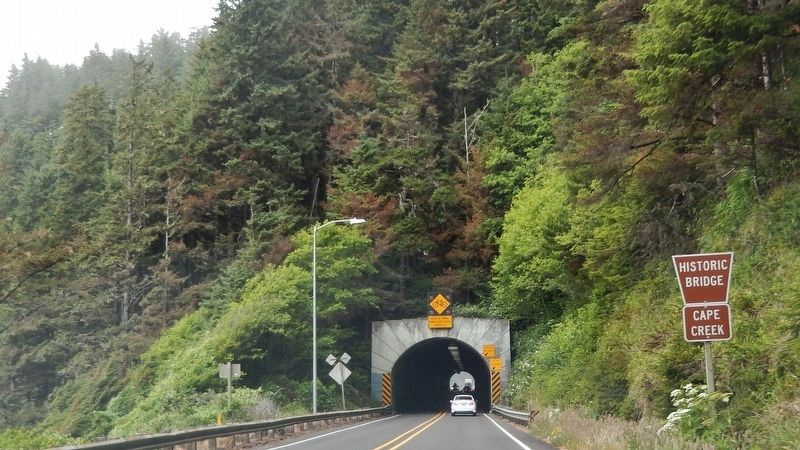
If this historic bridge and tunnel weren’t here, what would it be like to cross Cape Creek?
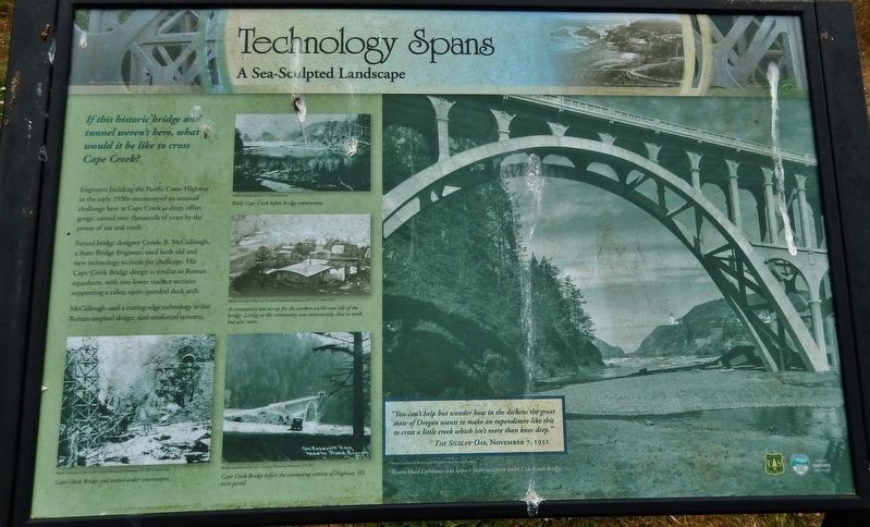
Engineers building the Pacific Coast Highway in the early 1930s encountered an unusual challenge here at Cape Creek, a deep, offset gorge, carved over thousands of years by the power of sea and creek.
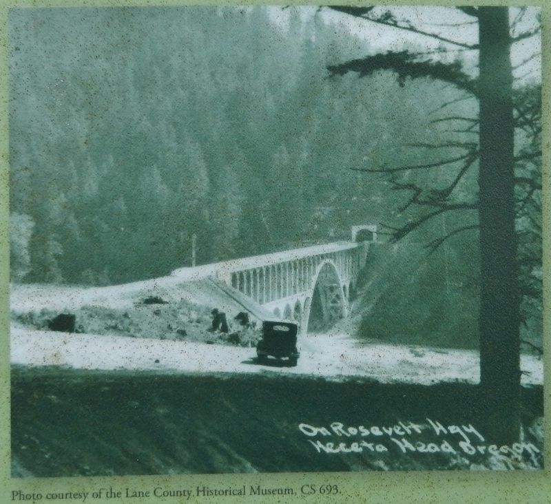
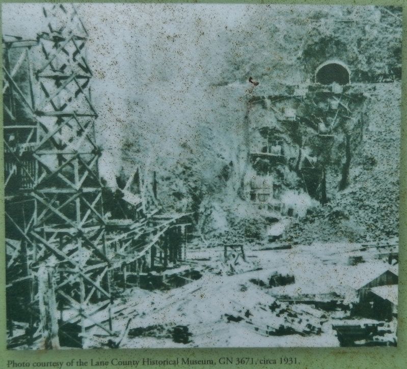
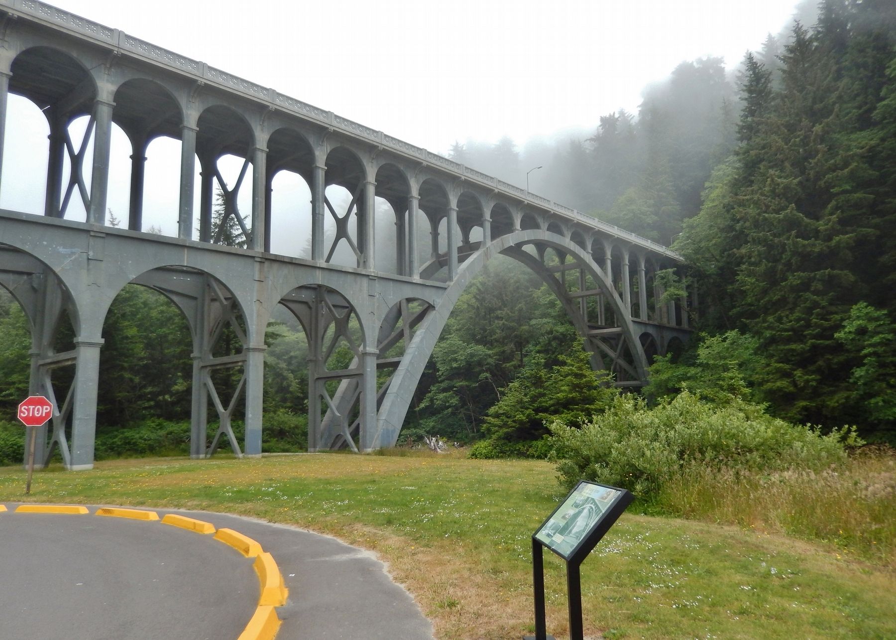
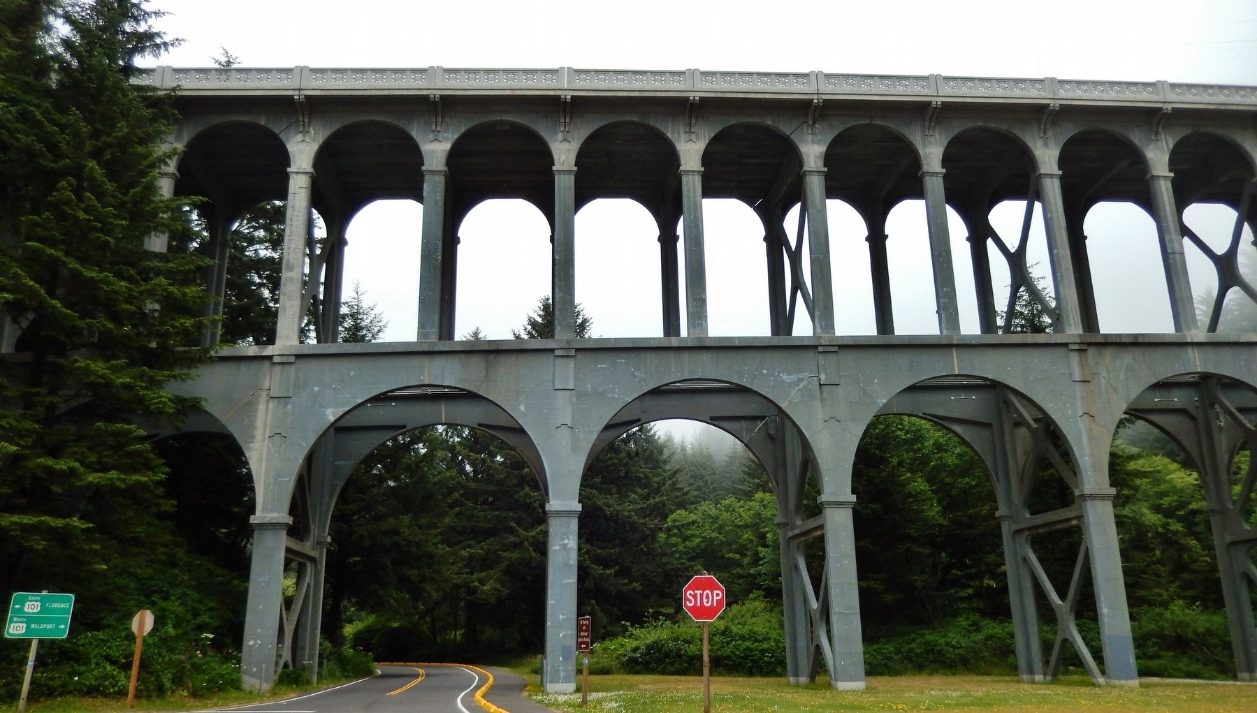
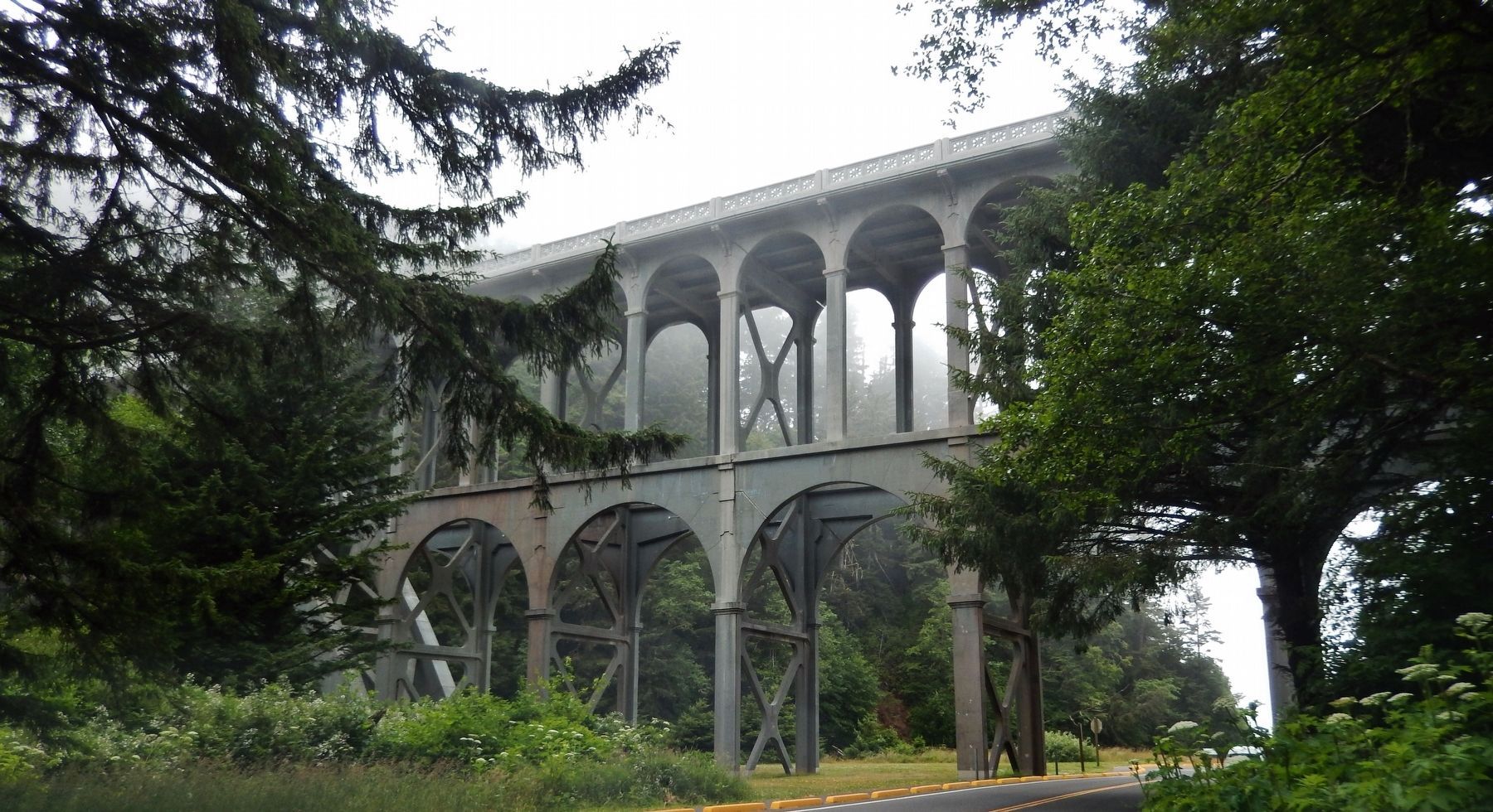
Famed bridge designer Conde B. McCullough, a State Bridge Engineer, used both old and new technology to meet the challenge. His Cape Creek Bridge design is similar to Roman aqueducts, with two lower viaduct sections supporting a taller, open-spandrel deck arch.
McCullough used a cutting-edge technology in this Roman-inspired design: steel-reinforced concrete.
"You can't help but wonder how in the dickens the great state of Oregon wants to make an expenditure like this to cross a little creek which isn't more than knee deep."
The Siuslaw Oar, November 7, 1931
Topics. This historical marker is listed in these topic lists: Architecture • Bridges & Viaducts • Man-Made Features • Roads & Vehicles.
Location. 44° 8.035′ N, 124° 7.339′ W. Marker is near Florence, Oregon, in Lane County. Marker can be reached from Cape Creek Road west of Oregon Coast Highway (U.S. 101) when traveling west. Marker is located in Heceta Head Lighthouse State Park, near the parking lot entrance and overlooking the subject bridge. Touch for map. Marker is in this post office area: Florence OR 97439, United States of America. Touch for directions.
Other nearby markers. At least 8 other markers are within 12 miles of this marker, measured as the crow flies. Heceta Head Lightstation (about 600 feet away, measured in a direct line); Hard Work at a Lonely Light (approx. ¼ mile away); Road Behind And Sea Beyond (approx. 0.3 miles away); Designed for Seafarer Safety (approx. 0.4 miles away); A Battle With the Elements (approx. 0.4 miles away); Giant Spruce of Cape Perpetua (approx. 10.3 miles away); Harbor Theater (approx. 11.6 miles away); The Kyle Building (approx. 11.6 miles away). Touch for a list and map of all markers in Florence.
Regarding Technology Spans. National Register of Historic Places (2005)
Related markers. Click here for a list of markers that are related to this marker.
Also see . . . Cape Creek Bridge,... Florence, Lane County, OR (Historic American Buildings Survey). (Submitted on January 27, 2018.)
Credits. This page was last revised on October 19, 2020. It was originally submitted on January 25, 2018, by Cosmos Mariner of Cape Canaveral, Florida. This page has been viewed 171 times since then and 10 times this year. Photos: 1. submitted on January 25, 2018, by Cosmos Mariner of Cape Canaveral, Florida. 2, 3, 4. submitted on January 27, 2018, by Cosmos Mariner of Cape Canaveral, Florida. 5. submitted on January 28, 2018, by Cosmos Mariner of Cape Canaveral, Florida. 6, 7. submitted on January 27, 2018, by Cosmos Mariner of Cape Canaveral, Florida. 8. submitted on January 28, 2018, by Cosmos Mariner of Cape Canaveral, Florida. • Andrew Ruppenstein was the editor who published this page.
