Tarentum in Allegheny County, Pennsylvania — The American Northeast (Mid-Atlantic)
Chartier's Old Town
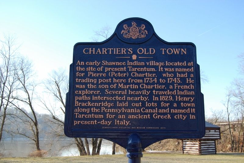
Photographed by Mike Wintermantel, January 26, 2018
1. Chartier's Old Town Marker
Erected 2015 by Pennsylvania Historical and Museum Commission.
Topics and series. This historical marker is listed in these topic lists: Exploration • Indigenous Peoples and Communities • Settlements & Settlers. In addition, it is included in the Pennsylvania Historical and Museum Commission (PHMC) series list. A significant historical year for this entry is 1734.
Location. 40° 35.906′ N, 79° 45.427′ W. Marker is in Tarentum, Pennsylvania, in Allegheny County. It can be reached from East 1st Street. Marker is located in park beneath the Tarentum Bridge by the Boat Commission Dock. Touch for map. Marker is in this post office area: Tarentum PA 15084, United States of America. Touch for directions.

Regionally,
this page online
Other nearby markers. At least 8 other markers are within walking distance of this marker: Orr's Block House (a few steps from this marker); Pennsylvania Railroad Passenger Station (approx. 0.3 miles away); Henry Marie Brackenridge (approx. 0.4 miles away); World War II Field of Honor (approx. half a mile away); M60A3 Main Battle Tank (approx. half a mile away); SGT Robert L. Adams (approx. half a mile away); Korean and Vietnam Wars Memorial (approx. half a mile away); POW/MIA Memorial (approx. half a mile away). Touch for a list and map of all markers in Tarentum.
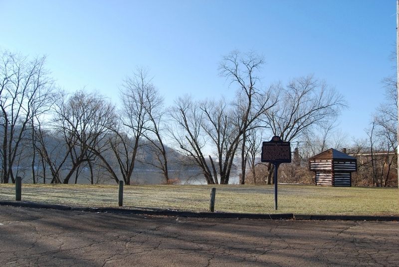
Photographed by Mike Wintermantel, January 26, 2018
2. Chartier's Old Town Marker
Credits. This page was last revised on January 26, 2018. It was originally submitted on January 26, 2018, by Mike Wintermantel of Pittsburgh, Pennsylvania. This page has been viewed 2,257 times since then and 178 times this year. Photos: 1, 2. submitted on January 26, 2018, by Mike Wintermantel of Pittsburgh, Pennsylvania.
