Near Korbel in Humboldt County, California — The American West (Pacific Coastal)
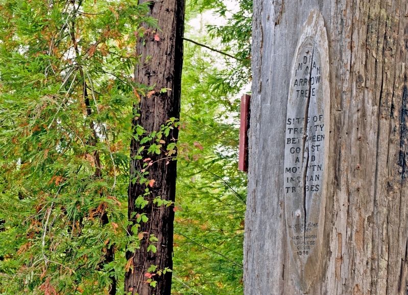
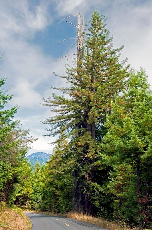
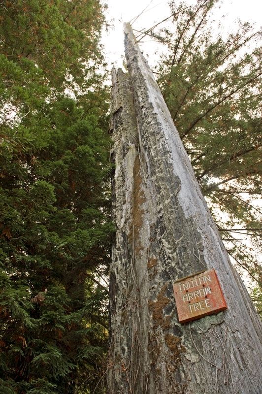
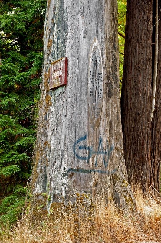
Indian Arrow Tree
Site of treaty between coast and mountain Indian tribes
Erected 1988 by High Noon Lioness Club. (Marker Number 164.)
Topics and series. This historical marker is listed in this topic list: Native Americans. In addition, it is included in the California Historical Landmarks series list.
Location. 40° 52.069′ N, 123° 57.013′ W. Marker is near Korbel, California, in Humboldt County. Marker is on Maple Creek Road, 0.7 miles south of Korbel Road, on the right when traveling south. Touch for map. Marker is in this post office area: Korbel CA 95550, United States of America. Touch for directions.
Other nearby markers. At least 8 other markers are within 8 miles of this marker, measured as the crow flies. Arcata and Mad River Rail Road Company (approx. 2.3 miles away); The Phillips House (approx. 6.7 miles away); Camp Curtis (approx. 7 miles away); Site of Arcata Stage & Bus Depot (approx. 7 miles away); The Gregg-Wood Party and the Union Company (approx. 7.1 miles away); First Methodist Society on Humboldt Bay (approx. 7.1 miles away); Minor Theatre (approx. 7.1 miles away); Jacoby Building (approx. 7.2 miles away).
More about this marker. California Historical Landmark
Also see . . . The Old Arrow Tree. Wikipedia entry
This site is said to have been used by Indians to commemorate an important peace treaty. In memory of the treaty, each tribe, upon passing, was supposed to have shot an arrow into the bark. (Submitted on September 2, 2023, by Larry Gertner of New York, New York.)
Credits. This page was last revised on September 2, 2023. It was originally submitted on January 27, 2018, by Alvis Hendley of San Francisco, California. This page has been viewed 569 times since then and 59 times this year. Photos: 1, 2, 3, 4. submitted on January 27, 2018, by Alvis Hendley of San Francisco, California. • Andrew Ruppenstein was the editor who published this page.


