Georgetown in Northwest Washington in Washington, District of Columbia — The American Northeast (Mid-Atlantic)
Houses With A Prospect
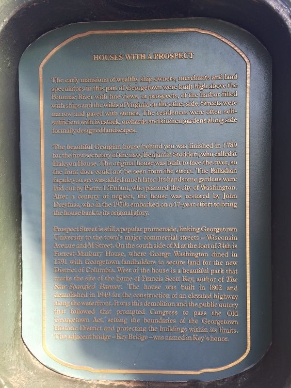
The early mansions of wealthy ship owners, merchants and land speculators in this part of Georgetown were built high above the Potomac River with fine views, or prospects, of the harbor filled with ships and the wilds of Virginia on the other side. Streets were narrow and paved with stones. The residences were often self-sufficient with livestock, orchards and kitchen gardens alongside formally designed landscapes.
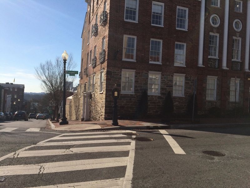
The beautiful Georgian house behind you was finished in 1789 for the first secretary of the navy, Benjamin Stoddert, who called it Halcyon House. The original house was built to face the river, so the front door could not be seen from the street. The Palladian façade you see was added much later. Its handsome gardens were laid out by Pierre L'Enfant, who planned the city of Washington. After a century of neglect, the house was restored by John Dreyfuss, who in the 1970s embarked on a 17-year effort to bring the house back to its original glory.
Prospect Street is still a popular promenade, linking Georgetown University to the town's commercial streets — Wisconsin Avenue and M Street. On the south
this page online
Erected by Cultural Tourism DC.
Topics and series. This historical marker is listed in these topic lists: Architecture • Industry & Commerce • Roads & Vehicles • Waterways & Vessels. In addition, it is included in the DC, Art on Call series list. A significant historical year for this entry is 1789.
Location. 38° 54.353′ N, 77° 4.078′ W. Marker has been reported damaged. Marker is in Northwest Washington in Washington, District of Columbia.
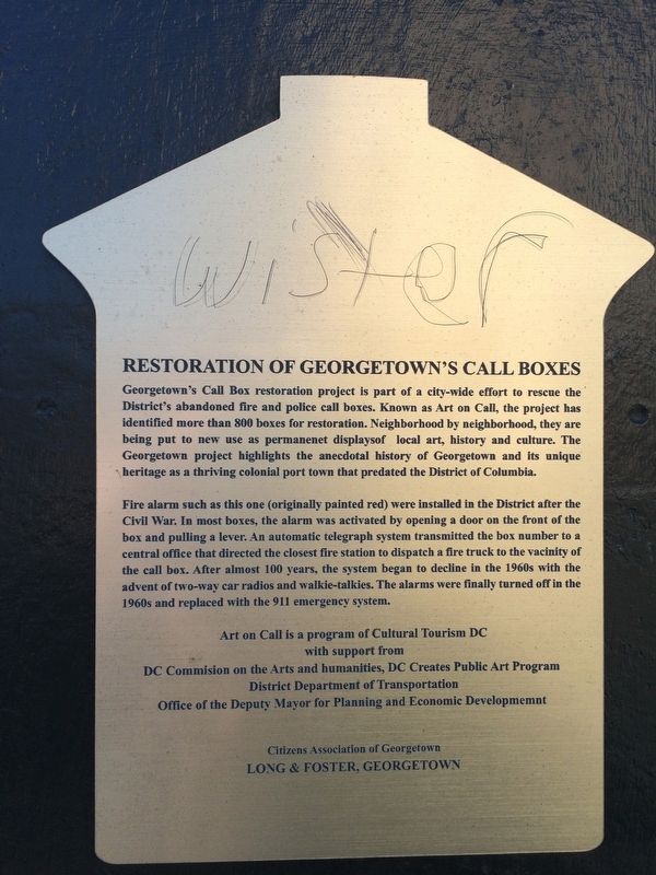

Regionally, this marker is in the Washington Metropolitan Area. It is also in the American Northeast, in the Upper South, in the Mid-Atlantic, in the Tidewater, and in the Chesapeake Bay Region. Globally, it is in North America, the Western Hemisphere, the Western World, and the Anglosphere.
Other nearby markers. At least 8 other markers are within walking distance of this location: Halcyon House (a few steps from this marker); a different marker also named Halcyon House (within shouting distance of this marker); Quality Hill - The John Thomson Mason House (within shouting distance of this marker); Wormley School (about 300 feet away, measured in a direct line); Forrest Marbury House (about 300 feet away); Francis Scott Key Park … a place to reflect (about 400 feet away); Window on Washington (about 400
Other markers no longer nearby. Francis Scott Key Park (was about 400 feet away but has been replaced with another marker now near it); The Star-Spangled Banner (was about 400 feet away but has been replaced with another marker now near it); Francis Scott Key (was about 400 feet away but has been replaced with another marker now near it).
Credits. This page was last revised on January 30, 2023. It was originally submitted on January 27, 2018, by Devry Becker Jones of Washington, District of Columbia. This page has been viewed 393 times since then and 29 times this year. Photos: 1, 2, 3. submitted on January 27, 2018, by Devry Becker Jones of Washington, District of Columbia. • Bill Pfingsten was the editor who published this page.
