Georgetown in Northwest Washington in Washington, District of Columbia — The American Northeast (Mid-Atlantic)
An Industrial Georgetown
Chesapeake and Ohio Canal National Historical Park
| — | National Park Service, U.S. Department of the Interior | — |
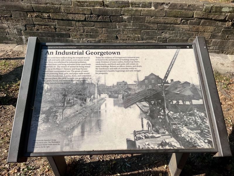
If you could have walked along the towpath here in the 19th and early 20th century, your senses would have been overwhelmed by industrial pollution. The dust from coal being unloaded from canal boats fogged the air. The stench of animal fat being mixed with lye at Hoffmyer's Tannery and Soap Factory would have overpowered you. The groan of water wheels powering four, grist, and paper mills would have been thunderous. A noisy, dusty and sometimes dangerous place, the canal brought raw goods such as coal, grain, wood, and stone to fuel Georgetown's bustling manufacturing district.
Today the evidence of Georgetown's industrial past is found in the architecture of buildings along the canal. Evidence of water outlets, bricked up chutes, smokestacks, and block and tackle still remain on many buildings. Reborn as offices, homes, and shops, the warehouses and mills of yesterday testify to Georgetown's humble beginnings and early struggle for prosperity.
[Caption:]
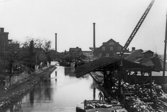
View from the Aqueduct Bridge looking east in 1900. The Washington Monument is faintly visible above the roofline on the far right.
Erected by National
this page online
Topics and series. This historical marker is listed in these topic lists: Industry & Commerce • Waterways & Vessels. In addition, it is included in the Chesapeake and Ohio (C&O) Canal series list.
Location. 38° 54.252′ N, 77° 3.623′ W. Marker is in Northwest Washington in Washington, District of Columbia. It is in Georgetown. It can be reached from the intersection of Chesapeake and Ohio Canal Towpath and Thomas Jefferson Street Northwest, on the left when traveling west. Touch for map. Marker is at or near this postal address: 1058 Thomas Jefferson St NW, Washington DC 20007, United States of America. Touch for directions.

Regionally, this marker is in the Washington Metropolitan Area. It is also in the American Northeast, in the Upper South, in the Mid-Atlantic, in the Tidewater, and in the Chesapeake Bay Region. Globally, it is in North America, the Western Hemisphere, the Western World, and the Anglosphere.
Other nearby markers. At least 8 other markers are within walking distance of this marker: Creating a National Park
Other markers no longer nearby. The Georgetown House (was within shouting distance of this marker but has been replaced with another marker now near it); The History of Canal Square (was about 300 feet away, measured in a direct line but has been replaced with another marker now near it).
Photographed by Allen C. Browne, April 18, 2015
3. An Industrial Georgetown Marker
This is a photo of the marker in its prior context along a pedestrian bridge on 34th Street Northwest.
Photographed by Allen C. Browne, March 2, 2013
4. An Industrial Georgetown Marker
This is a photo of the marker in its prior context.
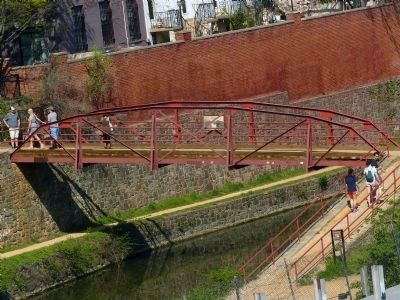
Photographed by Allen C. Browne, April 18, 2015
5. An Industrial Georgetown Marker in its prior context
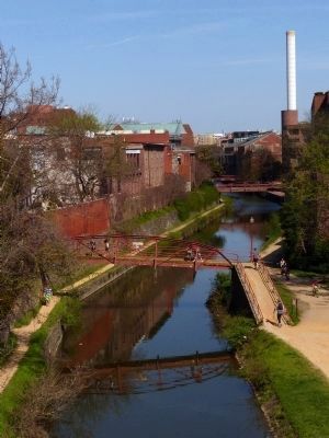
Photographed by Allen C. Browne, April 18, 2015
6. An Industrial Georgetown Marker in its prior context
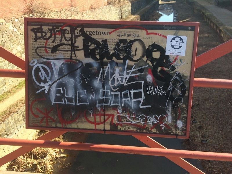
Photographed by Devry Becker Jones (CC0), January 27, 2018
7. An Industrial Georgetown Marker
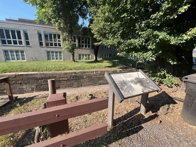
The marker was defaced in its prior location, but it has since been restored or replaced with identical text.
Library of Congress
8. Georgetown 1900
View from the Aqueduct Bridge looking east in 1900. The Washington Monument is faintly visible above the roofline on the far right.
Photographed by Allen C. Browne, March 2, 2013
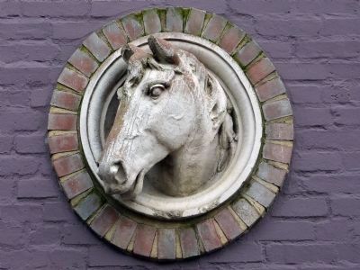
9. Horse
Credits. This page was last revised on June 15, 2024. It was originally submitted on April 24, 2015, by Allen C. Browne of Silver Spring, Maryland. This page has been viewed 983 times since then and 43 times this year. Last updated on January 27, 2018, by Devry Becker Jones of Washington, District of Columbia. Photos: 1, 2. submitted on June 15, 2024, by Devry Becker Jones of Washington, District of Columbia. 3, 4, 5, 6. submitted on April 24, 2015, by Allen C. Browne of Silver Spring, Maryland. 7. submitted on January 27, 2018, by Devry Becker Jones of Washington, District of Columbia. 8, 9. submitted on April 24, 2015, by Allen C. Browne of Silver Spring, Maryland. • Bill Pfingsten was the editor who published this page.
