Georgetown in Northwest Washington in Washington, District of Columbia — The American Northeast (Mid-Atlantic)
The History of Canal Square
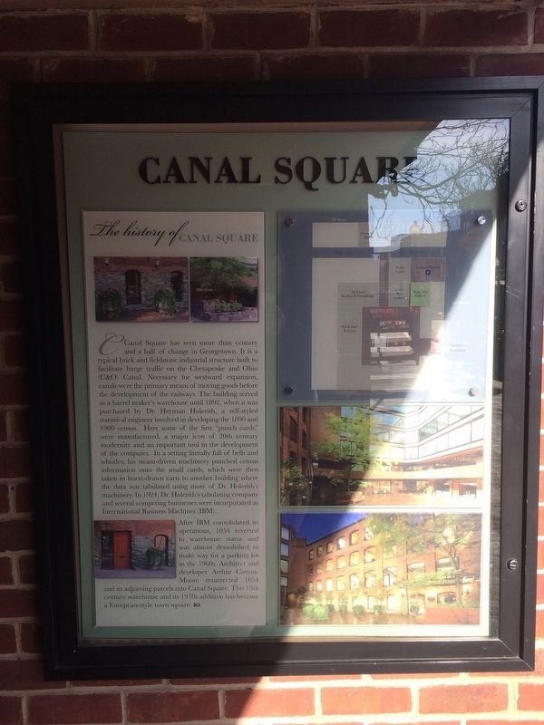
Canal Square has seen more than century and a half of change in Georgetown. It is a typical brick and fieldstone industrial structure built to facilitate barge traffic on the Chesapeake and Ohio (C&O) Canal. Necessary for westward expansion, canals were the primary means of moving goods before the development of the railways. The building served as a barrel maker's warehouse until 1892, when it was purchased by Dr. Herman Holerith, a self-styled statistical engineer involved in developing the 1890 and 1900 census. Here some of the first "punch cards" were manufactured, a major icon of 20th century modernity and an important tool in the development of the computer. In setting literally full of bells and whistles, his steam-driven machinery punched census information onto the small cards, which were then taken in horse-drawn carts to another building where the data was tabulated using more of Dr. Holerith's machinery. In 1924, Dr. Holerith's tabulating company and several competing businesses were incorporated as International Business Machines (IBM).
After IBM consolidated its operations, 1054 reverted to warehouse
this page online
Topics and series. This historical marker is listed in these topic lists: Industry & Commerce • Science & Medicine • Waterways & Vessels. In addition, it is included in the Chesapeake and Ohio (C&O) Canal series list. A significant historical year for this entry is 1892.
Location. This marker has been replaced by another marker nearby. It was located near 38° 54.268′ N, 77° 3.676′ W. Marker was in Northwest Washington in Washington, District of Columbia. It was in Georgetown. It was on 31st Street Northwest south of M Street Northwest, on the left when traveling north. Touch for map. Marker was at or near this postal address: 1054 31st Street Northwest, Washington DC 20007, United States of America. Touch for directions.

Regionally, this marker was in the Washington Metropolitan Area. It was also in the American Northeast, in the Upper South, in the
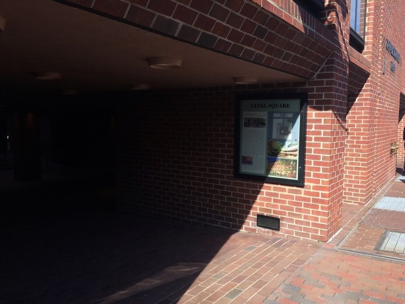
Other nearby markers. At least 8 other markers are within walking distance of this location: Canal Square (here, next to this marker); Herman Hollerith (a few steps from this marker); A Long Stretch of Quiet and Peace… (a few steps from this marker); a different marker also named The Georgetown House (within shouting distance of this marker); a different marker also named The Georgetown House (within shouting distance of this marker); a different marker also named Canal Square (within shouting distance of this marker); Creating a National Park (about 300 feet away, measured in a direct line); An Industrial Georgetown (about 300 feet away). Touch for a list and map of all markers in Northwest Washington.
Another marker is no longer nearby. The Georgetown House (was within shouting distance of this marker but has been replaced with another marker now near it).
Photographed by Allen C. Browne, June 8, 2019
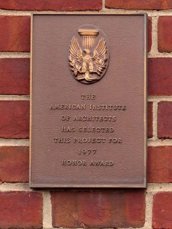
3. AIA Honor Award
American Institute
of Architects
Has Selected
This Project for
1977
Honor Award
Credits. This page was last revised on April 22, 2025. It was originally submitted on January 27, 2018, by Devry Becker Jones of Washington, District of Columbia. This page has been viewed 1,094 times since then and 49 times this year. Photos: 1, 2. submitted on January 27, 2018, by Devry Becker Jones of Washington, District of Columbia. 3. submitted on February 27, 2021, by Allen C. Browne of Silver Spring, Maryland. • Bill Pfingsten was the editor who published this page.
