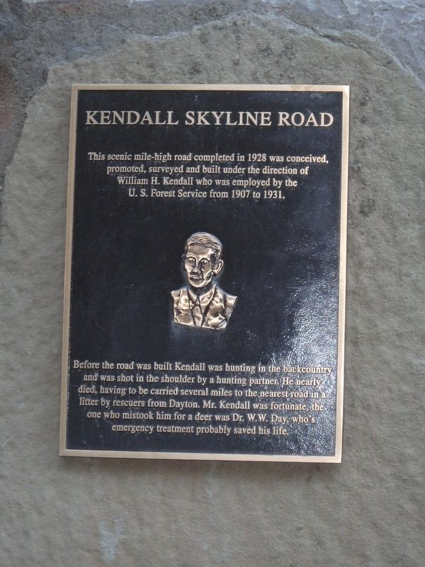
Kendall Skyline Road
Before the road was built Kendall was hunting in the backcountry and was shot in the shoulder by a hunting partner. He nearly died, having to be carried several miles to the nearest road by rescuers from Dayton. Mr. Kendall was fortunate, the one who mistook him for a deer was Dr. W. W. Day, who's emergency treatment probably saved his life.
Topics. This historical marker is listed in this topic list: Roads & Vehicles. A significant historical year for this entry is 1928.
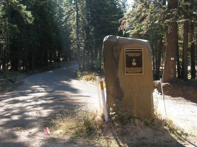
Location. 46° 14.828′ N, 117° 45.626′ W. Marker is in Dayton, Washington, in Columbia County. Marker is on Kendall Skyline Road near NF-4620 (Route 4620), in the median. Touch for map. Marker is in this post office area: Dayton WA 99328, United States of America. Touch for directions.
Other nearby markers. At least 4 other markers are within 14 miles of this marker, measured as the crow flies. Patit Creek Campsite (approx. 10.8 miles away); a different marker also named Patit Creek Campsite (approx. 10.8 miles away); "encamped on the N. side" (approx. 10.8 miles away); Kimooenim Creek Lunch Site (approx. 13.8 miles away).
More about this marker. Brass Plaque on
Credits. This page was last revised on May 3, 2019. It was originally submitted on January 28, 2018, by Martin Schrattenholzer of Renton, Washington. This page has been viewed 522 times since then and 58 times this year. Photos: 1. submitted on January 28, 2018, by Martin Schrattenholzer of Renton, Washington. 2. submitted on May 2, 2019, by Greg S Pulliam of Yakima, Washington. • Andrew Ruppenstein was the editor who published this page.

