Eureka in Lincoln County, Montana — The American West (Mountains)
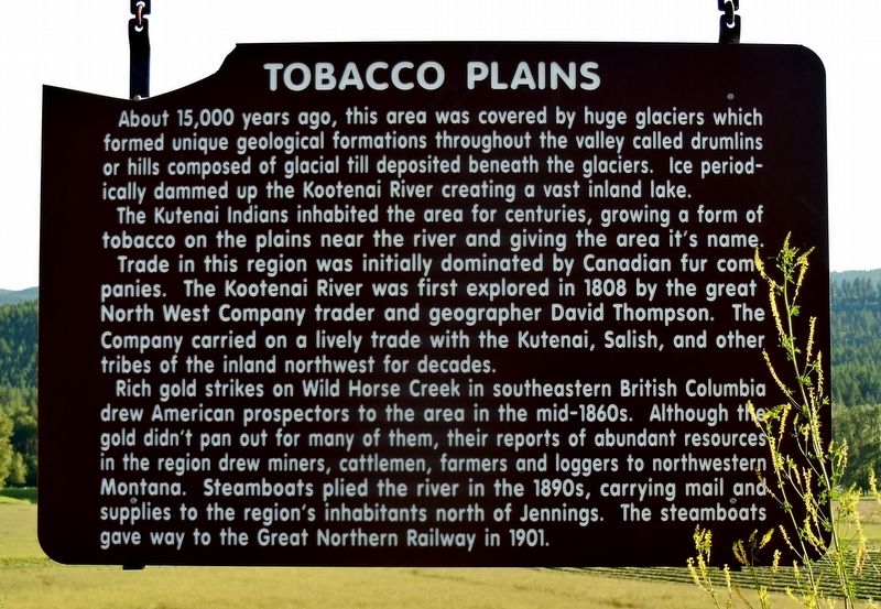
Tobacco Plains
About 15,000 years ago, this area was covered by huge glaciers which formed unique geological formations throughout the valley called drumlins or hills composed of glacial till deposited beneath the glaciers. Ice periodically dammed up the Kootenai River creating a vast inland lake.
The Kutenai Indians inhabited the area for centuries, growing a form of tobacco on the plains near the river and giving the area its name.
Trade in this region was initially dominated by Canadian fur companies. The Kootenai River was first explored in 1808 by the great North West Company trader and geographer David Thompson. The Company carried on a lively trade with the Kutenai, Salish, and other tribes of the inland northwest for decades.
Rich gold strikes on Wild Horse Creek in southeastern British Columbia drew American prospectors to the area in the mid-1860s. Although the gold didn't pan out for many of them, their reports of abundant resources in the region drew miners, cattlemen, farmers and loggers to northwestern Montana. Steamboats plied the river in the 1890s, carrying mail and supplies to the region's inhabitants north of Jennings. The steamboats gave way to the Great Northern Railway in 1901.
Topics. This historical marker is listed in these topic lists: Exploration • Industry & Commerce • Native Americans • Settlements & Settlers.
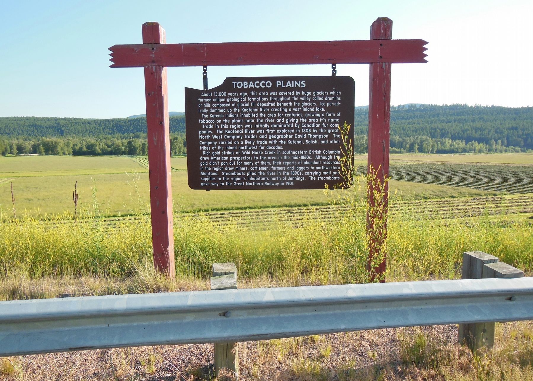
Location. 48° 51.971′ N, 115° 1.719′ W. Marker is in Eureka, Montana, in Lincoln County. Marker is on Riverside Drive (U.S. 93) north of Pinson Lane, on the left when traveling north. Marker is located in a pull-out on the south side of the highway, overlooking the Tobacco Plains river and valley. Touch for map. Marker is in this post office area: Eureka MT 59917, United States of America. Touch for directions.
Also see . . .
1. Kutenai People.
Kutenai, also spelled Kootenay or Kootenai, North American Indian tribe that traditionally lived in what are now southeastern British Columbia, northern Idaho and northwestern Montana. The tribe is thought to be descended from an ancient Blackfeet group that migrated westward from the Great Plains to the drainage of the Kootenay River, a tributary of the upper Columbia. Plentiful streams and lakes, adequate rainfall, and abundant game and fish made this area the most favorable part of the plateau between the Rockies and the Pacific Coast Ranges. (Submitted on January 31, 2018, by Cosmos Mariner of Cape Canaveral, Florida.)
2. Eureka, Montana.
The Canadian fur-trapper and explorer David Thompson visited the area in the early 19th Century during his searches for a route to the Pacific Ocean. Early explorers, finding Indians there growing a native strain of tobacco, named it the Tobacco Plains. In the late 1970s, Eurekans began a "Tobacco Valley Rendezvous" every year in April to commemorate Thompson's visit. (Submitted on January 31, 2018, by Cosmos Mariner of Cape Canaveral, Florida.)
3. 1863 Wild Horse River Gold Rush.
Gold was discovered on the Wild Horse River in the Kootenay region in 1863. The Wild Horse held great gold reserves and still does today. Early in the rush huge nuggets were found with the biggest tipping the scale at 36 ounces. Apparently after one resident found a nugget under his house the size of his fist the whole town burned their houses down to dig underneath. A second gold rush broke out in the same area in 1885. The Wild Horse River is estimated to have produced over $7,000,000 in the initial gold rush which would be worth about $490,000,000 today. (Submitted on January 31, 2018, by Cosmos Mariner of Cape Canaveral, Florida.)
Credits. This page was last revised on February 2, 2018. It was originally submitted on January 30, 2018, by Cosmos Mariner of Cape Canaveral, Florida. This page has been viewed 635 times since then and 77 times this year. Photos: 1, 2. submitted on January 30, 2018, by Cosmos Mariner of Cape Canaveral, Florida. • Andrew Ruppenstein was the editor who published this page.

