Navy Yard in Southeast Washington in Washington, District of Columbia — The American Northeast (Mid-Atlantic)
One of DC's Oldest Neighborhoods

Photographed By Devry Becker Jones (CC0), February 2, 2018
1. One of DC's Oldest Neighborhoods Marker
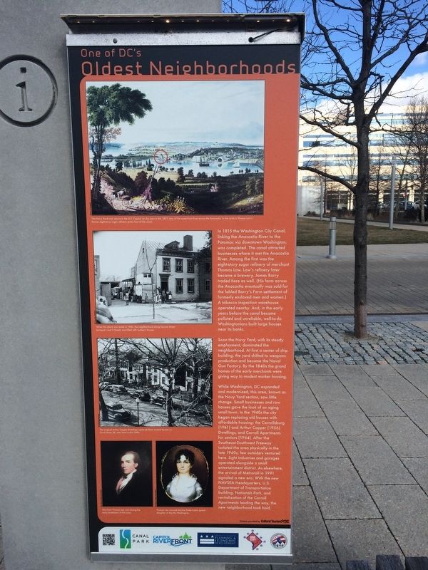
Soon the Navy Yard, with its steady employment, dominated the neighborhood. At first a center of ship building, the yard shifted to weapons production and became the Naval Gun Factory. By the 1840s the grand homes of the early merchants were giving way to modest worker housing.
While Washington, DC expanded and modernized, this area, known as the Navy Yard section, saw little change. Small businesses and row houses gave the look of an aging small town. In the 1940s the city began replacing the old houses with affordable housing: the Carrollsburg (1941) and Arthur Capper (1956) Dwellings, and Carroll Apartments for seniors (1964). After the Southeast-Southwest Freeway isolated the area physically in the late 1960s, few outsiders ventured here. Light industries and garages operated alongside a small entertainment district. As elsewhere, the arrival of Metrorail in 1991 signaled new era. With the new NAVSEA Headquarters, U.S. Department of Transportation building, Nationals Park, and revitalization of the Carroll Apartments leading the way, the new neighborhood took hold.
Erected by Canal Park, Capitol Riverfront, Deputy Mayor for Planning and Economic Development, One City, District of Columbia Housing Authority.
Topics. This historical marker is listed in these topic lists: African Americans • Architecture • Industry & Commerce • Waterways & Vessels. A significant historical year for this entry is 1815.
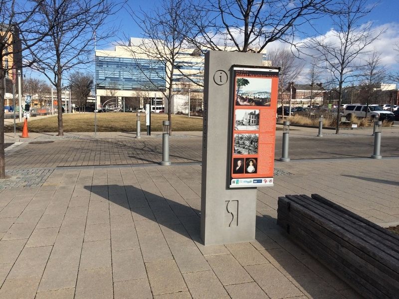
Location. 38° 52.703′ N, 77° 0.197′ W. Marker is in Southeast Washington in Washington, District of Columbia. It is in Navy Yard. Marker is at the intersection of K Street Southeast and 2nd Place Southeast, on the right when traveling east on K Street Southeast. Touch for map. Marker is at or near this postal address: 202 M Street Southeast, Washington DC 20003, United States of America. Touch for directions.
Other nearby markers. At least 8 other markers are within walking distance of this marker. A Walk on the Canal (within shouting distance of this marker); Water, Water Everywhere (about 600 feet away, measured in a direct line); 1925 (about 700 feet away); Taxiway Guidance Sign / Crossing Gate and Flashing Light Signal / Channel Marking Buoy

Photographed By Devry Becker Jones (CC0), February 2, 2018
2. One of DC's Oldest Neighborhoods Marker

Photographed By Devry Becker Jones (CC0), February 2, 2018
3. One of DC's Oldest Neighborhoods Marker
Credits. This page was last revised on January 30, 2023. It was originally submitted on February 2, 2018, by Devry Becker Jones of Washington, District of Columbia. This page has been viewed 149 times since then and 6 times this year. Photos: 1, 2, 3. submitted on February 2, 2018, by Devry Becker Jones of Washington, District of Columbia. • Bill Pfingsten was the editor who published this page.