Columbus in Muscogee County, Georgia — The American South (South Atlantic)
The Creek Town of Cusseta
— Creek Heritage Trail —
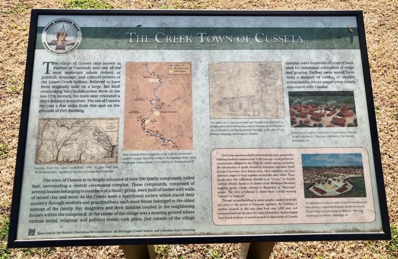
The town of Cusseta at its height consisted of over 200 family compounds, called huti, surrounding a central ceremonial complex. These compounds, comprised of several houses belonging to members of a family group, were built of timber with walls of mixed clay and moss. As the Creeks were a matrilineal society which traced their ancestry through mothers and grandmothers, each main house belonged to the oldest woman of the family. Her daughters and their families resided in the neighboring houses within the compound. At the center of the village was a meeting ground where various social, religious, and political events took place. Just outside of the village complex were hundreds of acres of land used for communal cultivation of crops and grazing. Farther away would have been a number of talofas, or smaller communities, whose people were closely associated with Cusseta.
Inset
The Creeks were descended from several early native groups who built large mound complexes over 1,000 years ago. Local prehistoric communities collapsed by the 1500s for several reasons, including the introduction of deadly diseases by European explorers. Small groups of survivors from diverse areas, often migrating over long distances, began to band together around the early 1600s. These people were first collectively referred to as "Creeks" by English colonial officials. Speakers of a dialect of the Muskogee (Mvskoke) language group, Creeks referred to themselves as "Muscogee" people. The term is believed to derive from a word meaning "swamp" or "wetland."
Though mound-building by native peoples reached its height just prior to the arrival of European explorers, the building of earthen mounds in this area dates back over 2,000 years and continued well into the time of Cusseta's formation. Archaeologists have found evidence of several mounds in the vicinity of Cusseta.
Photo captions:
Left side map "Georgia, From the Latest Authorities," 1796. By John Reid and W. Wintherbottom.
Middle map Map showing historic locations of the original and second town of Cusseta. Based on a map in Archaeology of the Lower Muskogee Creek Indians, 1715-1836, by H. Thomas Foster II
Middle right sketch
This sketch of a Creek homestead near Cusseta was produced by British author Basil Hall during a visit to this area at the time the city of Columbus was being planned.
Top right photo Depiction of a typical Creek town. Virtual reality computer image by Richard L. Thornton, Architect & City Planner, Dahlonega, GA
Bottom right This depiction of a mound center along the Chattahoochee River portrays a typical Mississippian period community. Virtual reality computer image by Richard L. Thornton Architect & City Planner, Dahlonega, GA
Erected 2014 by the Historic Chattahoochee Commission, the Muscogee (Creek) Nation and Columbia State University.
Topics. This historical marker is listed in these topic lists: Native Americans • Settlements & Settlers. A significant historical year for this entry is 1796.
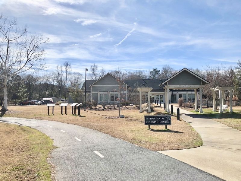
Location. 32° 23.195′ N, 84° 57.519′ W. Marker is in Columbus, Georgia, in Muscogee County. Marker can be reached from South Lumpkin Road, on the right when traveling south. Located in front of the Oxbow Meadows Environmental Learning Center. Touch for map. Marker is at or near this postal address: 3535 South Lumpkin Road, Columbus GA 31903, United States of America. Touch for directions.
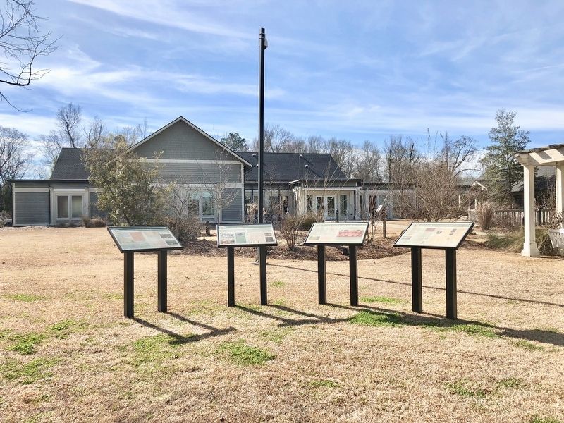
Other nearby markers. At least 8 other markers are within walking distance of this marker. Creek Agriculture (here, next to this marker); Daily Life in Cusseta (here, next to this marker); Cusseta: A Center for International Diplomacy (here, next to this marker); The "Chattahoochee Choo Choo" (approx. 0.2 miles away); Dedicated to the American Revolutionary War Infantryman (approx. ¼ mile away); 70th Infantry Div. (approx. ¼ mile away); Operation Just Cause (approx. ¼ mile away); World Trade Center Beam Memorial (approx. ¼ mile away). Touch for a list and map of all markers in Columbus.
Related marker. Click here for another marker that is related to this marker.
Also see . . . Wikipedia article on the Cusseta tribal town. (Submitted on February 4, 2018, by Mark Hilton of Montgomery, Alabama.)
Credits. This page was last revised on February 4, 2018. It was originally submitted on February 4, 2018, by Mark Hilton of Montgomery, Alabama. This page has been viewed 689 times since then and 126 times this year. Photos: 1, 2, 3. submitted on February 4, 2018, by Mark Hilton of Montgomery, Alabama.


