
Salem in Marion County, Oregon — The American West (Northwest)
Column Segments
Photographed by Cosmos Mariner, July 5, 2015
1. Column Segments Marker
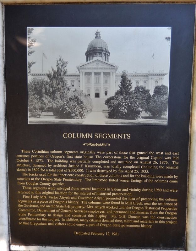
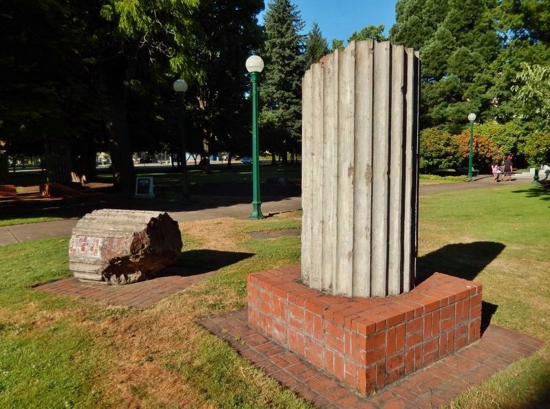
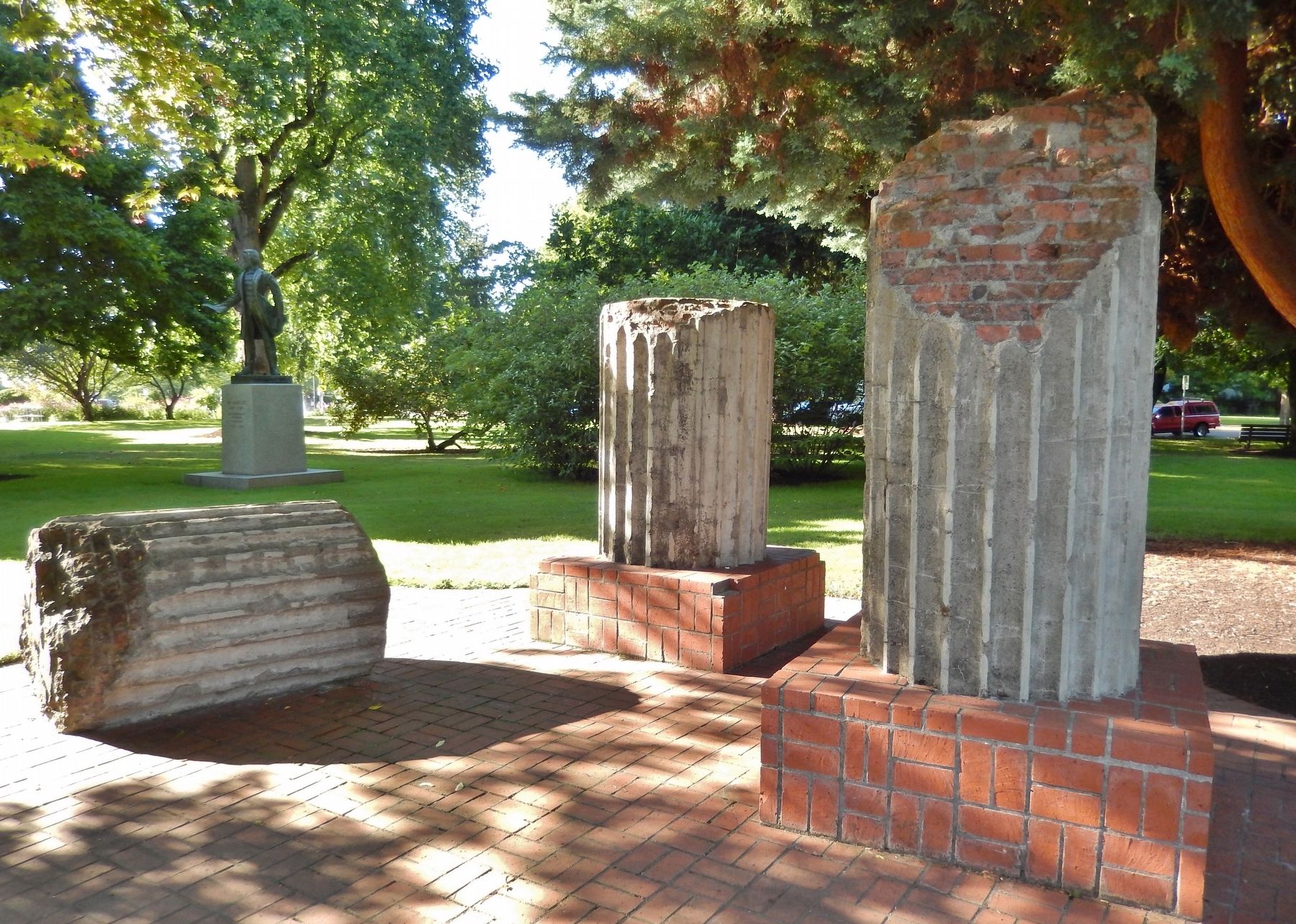
These Corinthian column segments originally were part of those that graced the west and east entrance porticos of Oregon's first state house. The cornerstone for the original Capitol was laid October 8, 1873. The building was partially completed and occupied on August 26, 1876. The structure, designed by architect Justice F. Krumbein, was totally completed (including the original dome) in 1892 for a total cost of $500,000. It was destroyed by fire April 25, 1935.
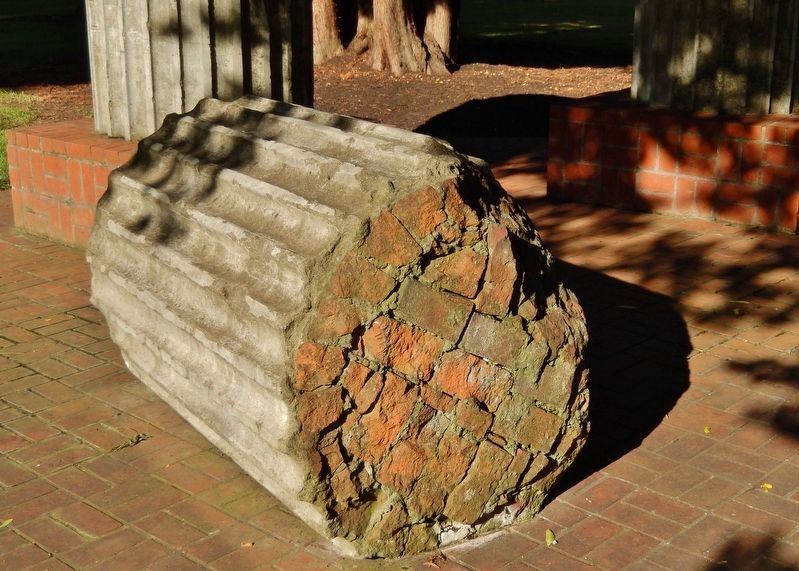
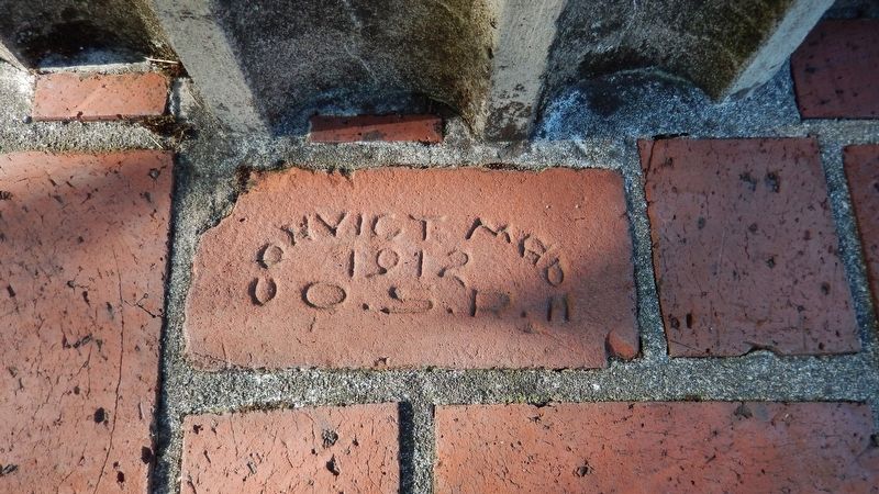
The bricks used for the inner core construction of these columns and for the building were made by convicts at the Oregon State Penitentiary. The limestone fluted veneer facings of the columns came from Douglas County quarries.
These segments were salvaged from several locations in Salem and vicinity during 1980 and were returned to this original location for the interest of historical preservation.
First Lady Mrs. Victor Atiyeh and Governor Atiyeh
this page online
Erected 1981 by Oregon Historical Properties Committee.
Topics. This historical marker is listed in these topic lists: Architecture • Man-Made Features • Notable Buildings.
Location. 44° 56.292′ N, 123° 1.742′ W. Marker
Photographed by Cosmos Mariner, July 5, 2015
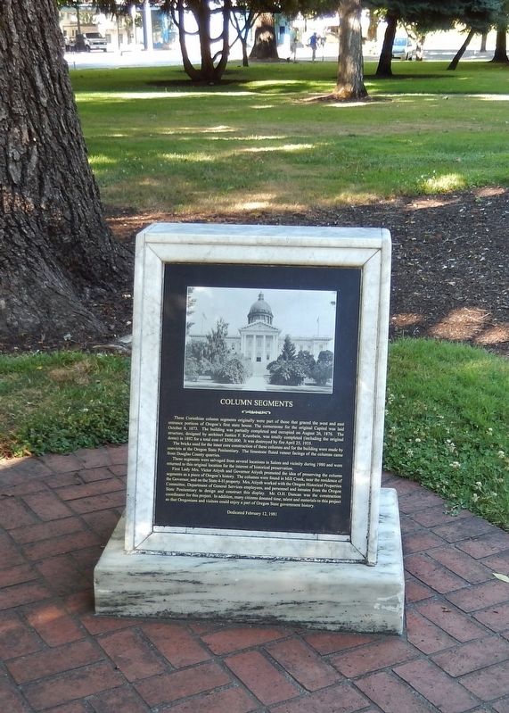
2. Column Segments Marker (tall view)

Regionally, this marker is in Oregon Wine Country and in the Willamette Valley. It is also on the American Pacific Coast, in the Pacific Northwest, and in the Lewis & Clark Corridor. Globally, it is in North America, in the Cascade Range, on the Ring of Fire, in the Pacific Rim, in the Western Hemisphere, in the Western World, and in the Anglosphere.
Other nearby markers. At least 8 other markers are within walking distance of this marker: Rev. Jason Lee (a few steps from this marker); Dr. John McLoughlin (within shouting distance of this marker); Dedicated to You, A Free Citizen in a Free Land
Photographed by Cosmos Mariner, July 5, 2015
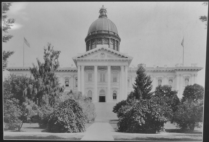
3. Marker detail: First State House with Corinthian Columns
Also see . . . Oregon State Capitol.
The second capitol, built between 1873 and 1876, was a two-story structure with an additional first level that was partly underground. The large copper-clad dome was constructed with an iron and steel framework. This dome rose 54 feet above the rest of the building and was 100 feet tall. The building was of Renaissance style with Corinthian columns on the front entrance.
On the east side of the current (third) capitol building is Capitol Park, which includes
Photographed by Cosmos Mariner, July 5, 2015
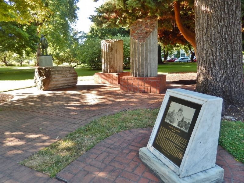
4. Column Segments Marker (wide view; column segments in background)
Additional commentary.
1. There is one more column segment not mentioned on this sign
This historical marker details the locations around Court Street and State Street where the pieces of columns were found after the fire, but it missed the one column piece from the capitol building that defies and mystifies the basic laws of physics, in that a piece of column located at Deep Woods Estate is almost three quarters of a mile away. You have to consider what kind of explosive force took place during the fire to cause a segment of a column from the State Capitol building to travel through the air and land that far away.
The column segment located at Deep Woods Estate is neither small in weight and/or size, being that it is almost vertical in stance and driven into the ground
Photographed by Cosmos Mariner, July 5, 2015
5. Column Segment
A battleship when firing its main guns could force a projectile from the 16 inch gun to fly up to 24 miles away. In no way is there a comparison between them but there must have been a extremely large explosive force that must have been quite loud to cause a column segment of the size of the one at Deep Woods Estate (I wouldn't even dare to try and calculate the weight of it) to fly very high for it to land that far away because once something leaves the ground and takes flight with out any further source of power, it is already on its way back down through the force of gravity.
Try figuring that one out and whether you can or can't, at the very least the sign should be updated to add the column segment located at Deep Woods Estate and discuss the incredible forces of nature that took place in order to accomplish that feat. —Randy Streich
Photographed by Cosmos Mariner, July 5, 2015
6. Column Segments
— Submitted September 6, 2025.
Photographed by Cosmos Mariner, July 5, 2015
7. Column Segment
Photographed by Cosmos Mariner, July 5, 2015
8. Oregon State Penetentiary, Convict Made Brick, 1912
The bricks used for the inner core construction of these columns and for the building were made by convicts at the Oregon State Penitentiary. The limestone fluted veneer facings of the columns came from Douglas County quarries.
Credits. This page was last revised on September 7, 2025. It was originally submitted on February 4, 2018, by Cosmos Mariner of Cape Canaveral, Florida. This page has been viewed 1,027 times since then and 43 times this year. Photos: 1, 2, 3, 4, 5, 6, 7, 8. submitted on February 4, 2018, by Cosmos Mariner of Cape Canaveral, Florida. • Andrew Ruppenstein was the editor who published this page.
