Near Penn Valley in Nevada County, California — The American West (Pacific Coastal)
Jacob Van Blaren
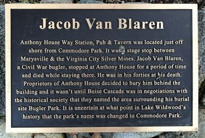
Photographed by Kent Clark, November 27, 2017
1. Jacob Van Blaren Marker
Erected by Boise Cascade.
Topics. This historical marker is listed in this topic list: Cemeteries & Burial Sites.
Location. 39° 14.324′ N, 121° 12.901′ W. Marker is near Penn Valley, California, in Nevada County. It can be reached from Wildflower Drive near Thistle Loop, on the right when traveling east. Touch for map. Marker is at or near this postal address: 19336 Wildflower Drive, Penn Valley CA 95946, United States of America. Touch for directions.

Regionally,
this page online
Other nearby markers. At least 8 other markers are within 5 miles of this marker, measured as the crow flies: Anthony House and Ranch (approx. 0.2 miles away); Mooney Flat Hotel (approx. 3½ miles away); Convenience Comes to the South Yuba River (approx. 3.8 miles away); Bridgeport Historic District (approx. 3.8 miles away); The Barn (approx. 3.9 miles away); Bridgeport Bridge (approx. 3.9 miles away); a different marker also named Bridgeport Bridge (approx. 3.9 miles away); Rough and Ready (approx. 4.1 miles away). Touch for a list and map of all markers in Penn Valley.
Another marker is no longer nearby. Bridgeport (Nyes Crossing) Covered Bridge (was approx. 3.8 miles away but has been replaced with another marker now near it).
More about this marker. The burial site is in Commodore Park, aka
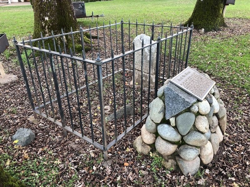
Photographed by Kent Clark, November 27, 2017
2. Jacob Van Blaren Grave and Marker
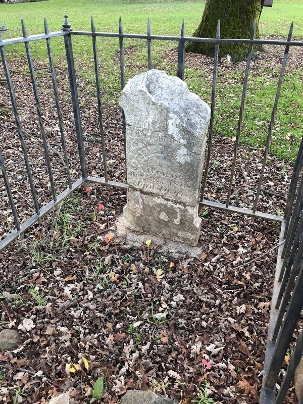
Photographed by Kent Clark, November 27, 2017
3. Jacob Van Blaren Grave
Credits. This page was last revised on February 5, 2018. It was originally submitted on February 5, 2018, by Barry Swackhamer of Brentwood, California. This page has been viewed 419 times since then and 30 times this year. Photos: 1, 2, 3. submitted on February 5, 2018, by Barry Swackhamer of Brentwood, California.
