Suffolk, Virginia — The American South (Mid-Atlantic)
President's Days Plaque
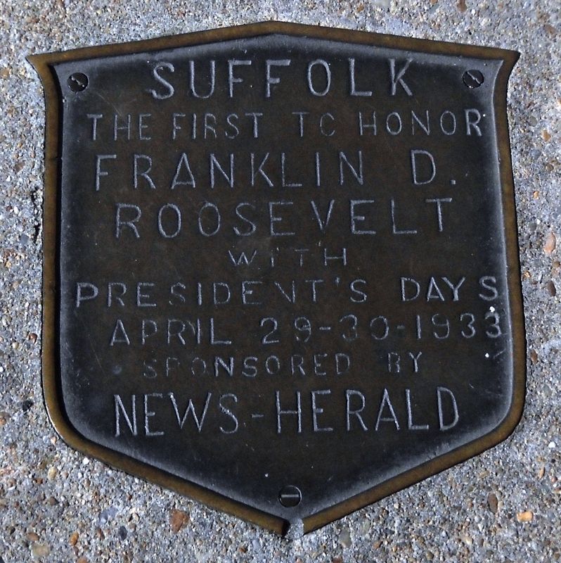
Photographed by Cynthia L. Clark, November 9, 2016
1. President's Days Plaque
Erected by Suffolk News-Herald.
Topics and series. This historical marker is listed in this topic list: Notable Events. In addition, it is included in the Former U.S. Presidents: #32 Franklin D. Roosevelt series list. A significant historical date for this entry is April 29, 1933.
Location. 36° 43.698′ N, 76° 35.001′ W. Marker is in Suffolk, Virginia. It is on Main Street, on the right when traveling south. It is bolted to the sidewalk. Touch for map. Marker is at or near this postal address: 102 West Washington Street, Suffolk VA 23434, United States of America. Touch for directions.

Regionally, this marker is in Virginia’s Hampton Roads, specifically in Coastal Virginia, and in the Hampton Roads Metropolitan Area. It is also in the American South, specifically in the Upper South, in the Tidewater, and on the Eastern Seaboard. Globally, it is in the North Atlantic Region, North America, the Western Hemisphere, the Western World, and the Anglosphere. Historically, it finds itself in what was once the territory of the
this page online
Other nearby markers. At least 8 other markers are within walking distance of this marker: Old City Hall Bell (within shouting distance of this marker); Obici-Oderzo Fountain Marker (about 300 feet away, measured in a direct line); Mr. Peanut (approx. 0.2 miles away); Booker T. Washington High School (approx. ¼ mile away); Safe Haven (approx. 0.3 miles away); Oak Lawn Cemetery (approx. 0.4 miles away); World War II Memorial (approx. 0.4 miles away); Korea and Vietnam Wars Memorial (approx. 0.4 miles away). Touch for a list and map of all markers in Suffolk.
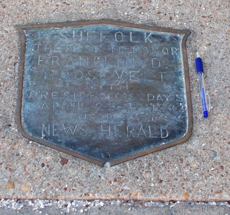
Photographed by Cynthia L. Clark, January 14, 2018
2. A view that shows the plaque’s actual size.
The ink pen lying beside the plaque is about four-inches long.
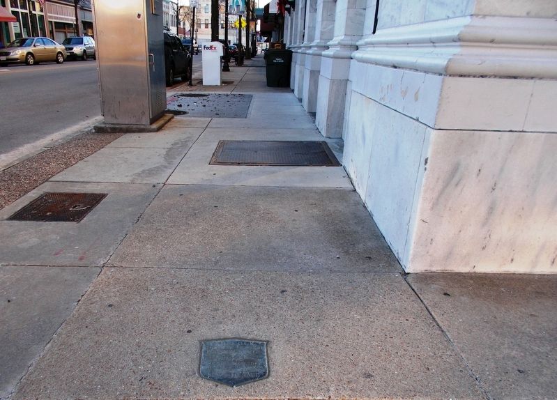
Photographed by Cynthia L. Clark, January 14, 2018
3. President’s Days Plaque, facing west.
The viewer is standing on the northwest corner of West Washington at its intersection with East Main Street.
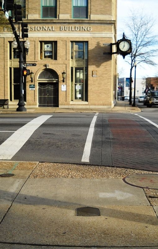
Photographed by Cynthia L. Clark, January 1, 2017
4. President’s Days Plaque, facing east.
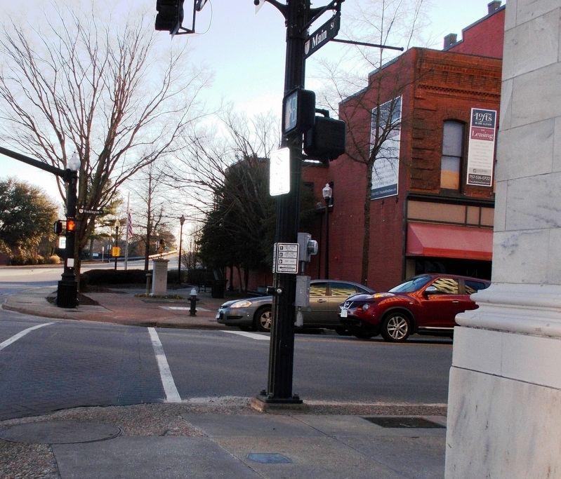
Photographed by Cynthia L. Clark, January 14, 2018
5. President’s Days Plaque, facing south.
Across West Washington Street, in the far background, is the Mr. Peanut statue, standing in Character Corner.
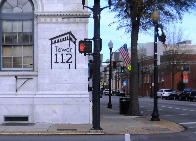
Photographed by Cynthia L. Clark, January 1, 2017
6. President’s Days Plaque, facing north.
The plaque is pictured at the left of the large, round manhole cover.
Credits. This page was last revised on February 1, 2023. It was originally submitted on February 5, 2018, by Cynthia L. Clark of Suffolk, Virginia. This page has been viewed 452 times since then and 21 times this year. Photos: 1, 2, 3, 4, 5, 6. submitted on February 5, 2018, by Cynthia L. Clark of Suffolk, Virginia. • Andrew Ruppenstein was the editor who published this page.
