Mineral de Pozos in San Luis de la Paz, Guanajuato, Mexico — The Central Highlands (North America)
Old City Hall
Mineral de Pozos
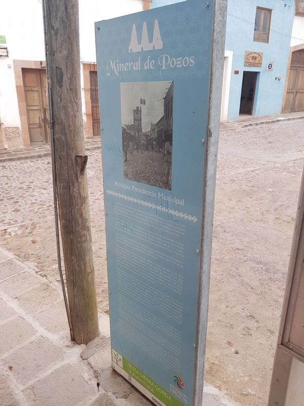
Inscription.
Los indígenas de la zona ya conocían la riqueza mineral que guardada la tierra celosamente, y compartieron este secreto con los jesuitas, quienes cerca del año de 1590 comenzaron la extracción de metales, sobre todo de oro y plata, empleando los sistemas europeos que ya involucraban explosivos en el proceso.
Debido a la gran cantidad de perforaciones que se realizaron, los trabajadores y habitantes comenzaron a llamar al Pozos al pueblo, nombre al que se le agregó Real para distinguir que se trataba de un sitio minero.
Mineral de Pozos mantuvo un buen estatus a nivel regional en los años subsecuentes. No obstante, debido a las revuelos que vivió el país posteriormente, los jesuitas tuvieron que salir del pueblo, en 1767 aproximadamente, dejando la producción minera casi abandonada. Los pocos beneficios que se obtenían de las minas estaban destinados a mantener viva la lucha entre realistas e insurgentes. Mineral cayó en un ambiente de abandono, en el que apenas habitaban unas cuantas personas.
Pasaron muchos años para que Mineral de Pozos recobrara su esplendor. Con el auge del Porfiriato, que consigo trajo cierta modernización para México, el pueblo reactivó el trabajo minero gracias a la llegada de inversionistas nacionales y extranjeros que comenzaron a construir haciendas, hosterías, bancos, teatros y una bueena cantidad de edificios importantes, como este Antigua Presidencia Municipal o Delegación, inspirados en la tendencia afrancesada muy del gusto del presidente Díaz. Así, el poblado recibió en aquel entonces el nombre de Ciudad Porfirio Díaz.
A principios del siglo XX estalló la Revolución mexicana, misma que derrocó al régimen de Díaz, provocando con ello la caída, una vez más, del pueblo, ahora llamado nuevamente Mineral Real de Pozos. El conflicto provocó que los inversionistas retiraran su capital, dejando al pueblo sin muchos recursos económicos y con pocos habitantes.
Además, debido a la mala administración de las minas, los pozos se hicieran tan profundos que alcanzaron los mantos freáticos, ocasionando la inundación de varias minas que quedaron inutilizadas. El pueblo
quedó casi vacio entonces.
Fue hasta el año de 1982 en que Mineral de Pozos fue redescubierto, pero ahora como un sitio histórico y con potencial para el turismo. En ese año se expidió un decreto que ortorgaba al pueblo el título de Zona de Monumentos Históricos y, posteriormente, el de Pueblo Mágico. Muchos artistas llegaron al sitio para repoblarlo y darle un nuevo ambiente, pero respetando siempre la importancia que tuvo para el desarrollo del estado y aún del país en otras épocas.
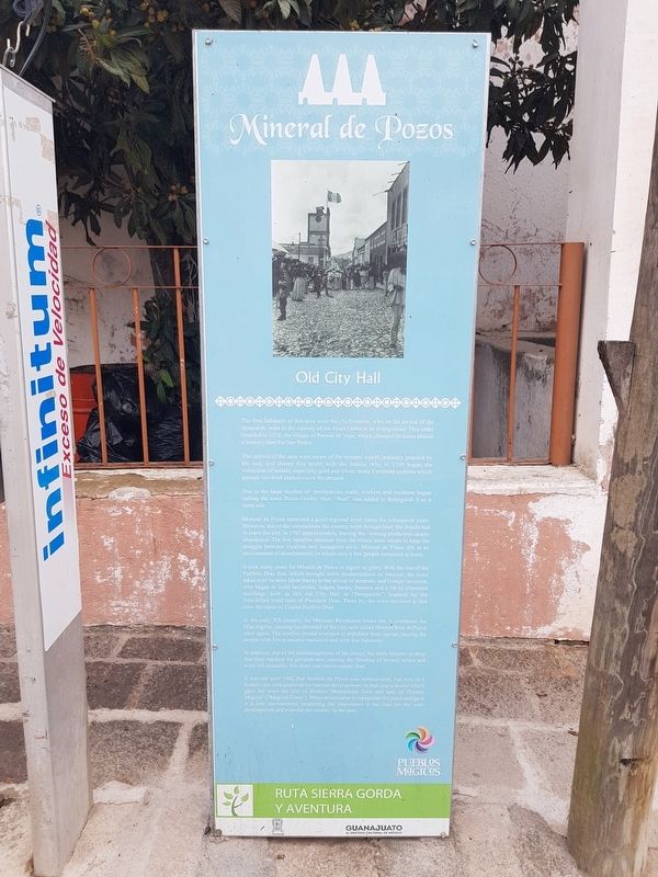
The natives of the area were aware of the mineral wealth jealously guarded by the soil, and shared this secret with the Jesuits, who in 1590 began the extraction of metals, especially gold and silver, using European systems which already involved explosives in the process.
Due to the large number of perforations made, workers and residents began calling the calling the town Pozos (wells), then, “Real” was added to distinguish it as a mine site.
Mineral de Pozos sustained a good regional level status for subsequent years. However, due to the commotions the country went through later, the Jesuits had to leave the city, in 1767 approximately, leaving the mining production nearly abandoned. The few benefits obtained from the mines were meant to keep the struggle between royalists and insurgents alive. Mineral de Pozos fell in an environment of abandonment, in which only a few people remained in town.
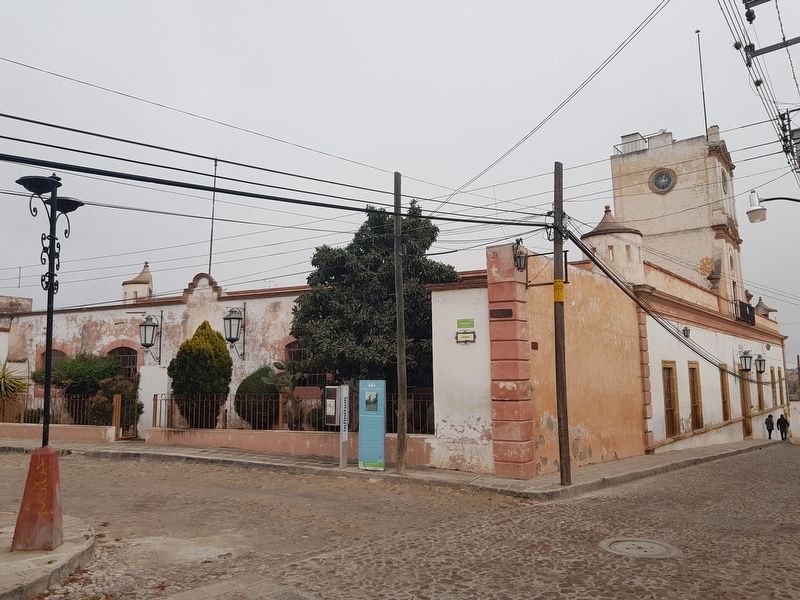
It took many years for Mineral de Pozos to regain its glory. With the rise of the Porfirio Díaz Era, which brought some modernization to Mexico; the town takes over its mine labor thanks to the arrival of domestic and foreign investors, who began to build haciendas, lodges, banks, theaters and a lot of important buildings, such as this old City Hall or “Delegación”, inspired by the frenchified trend and taste of President Díaz. There by, the town received at that time the name of Ciudad Porfirio Díaz.
In the early XX century, the Mexican Revolution broke out, it overthrew the Díaz regime, causing the downfall of the city, now called Mineral Real de Pozos once again. The conflict caused investors to withdraw their capital, leaving people with few economic resources and with few habitants.
In addition, due to the mismanagement of the mines, the wells became so deep that they reached the groundwater, causing the flooding of several mines and were left unusable. The town was almost empty then.
It was not until 1982 that Mineral de Pozos was rediscovered, but now as a historic site with potential for tourism development. In that year a decree which gave the town the title of Historic Monuments Zone and later of “Pueblo Mágico” (“Magical Town”). Many artists came to repopulate the place and gave it a new environment, respecting the importance it has had for the state development and even for the country in the past.
Erected by Gobierno de Guanajuato.
Topics. This historical marker is listed in these topic lists: Industry & Commerce • Native Americans • Settlements & Settlers • Wars, Non-US. A significant historical year for this entry is 1576.
Location. 21° 13.444′ N, 100° 29.719′ W. Marker is in Mineral de Pozos, Guanajuato, in San Luis de la Paz. Marker is at the intersection of Calle Plaza Zaragoza and Avenida Leandro Valle, on the right when traveling north on Calle Plaza Zaragoza. Touch for map. Marker is in this post office area: Mineral de Pozos GTO 37600, Mexico. Touch for directions.
Other nearby markers. At least 8 other markers are within 3 kilometers of this marker, measured as the crow flies. J. Encarnación Olguín and Juana Lucio (within shouting distance of this marker); Aqueduct (approx. 0.6 kilometers away); The Model School (approx. 0.6 kilometers away); City Cemetery (approx. 0.7 kilometers away); Ex-Hacienda El Triángulo (approx. 1.8 kilometers away); Angustias Mine (approx. 2 kilometers away); Mine and Former Hacienda of Los Cinco Señores (approx. 2.2 kilometers away); Hacienda Baldomero (approx. 2.2 kilometers away). Touch for a list and map of all markers in Mineral de Pozos.
Credits. This page was last revised on February 8, 2018. It was originally submitted on February 8, 2018, by J. Makali Bruton of Accra, Ghana. This page has been viewed 148 times since then and 12 times this year. Photos: 1, 2, 3. submitted on February 8, 2018, by J. Makali Bruton of Accra, Ghana.


