Near Florence in Lane County, Oregon — The American West (Northwest)
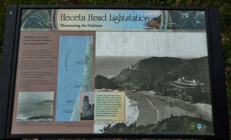
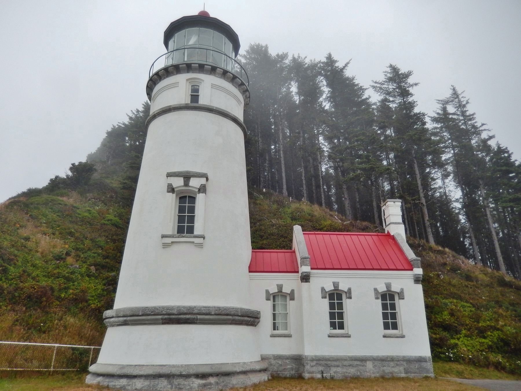
Heceta Head Lightstation
Illuminating the Darkness
Lighthouses are not just scenic structures – they are life-saving innovations.
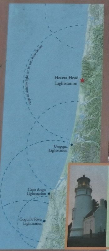
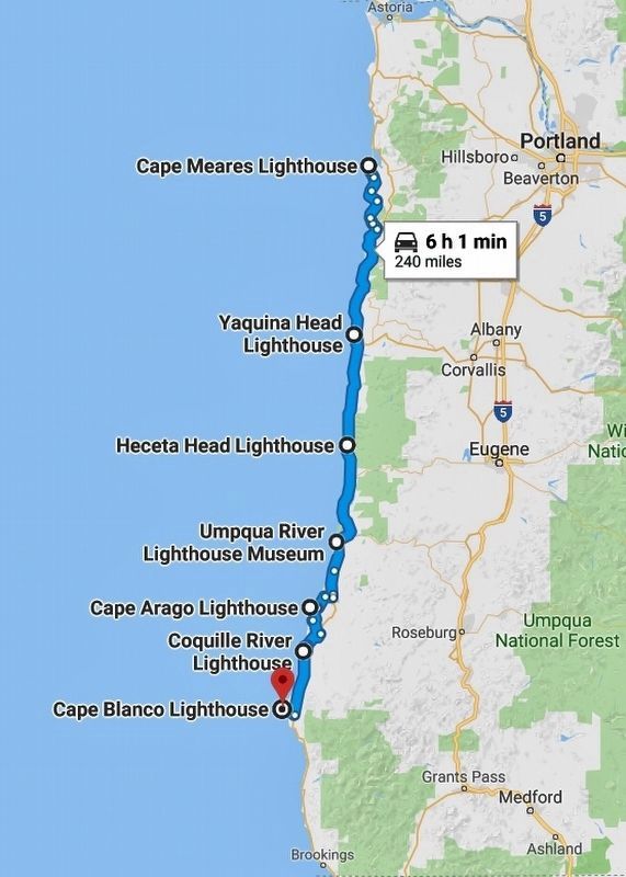
In the 19th century, most traffic sailed by offshore. To steer true, and to avoid hazards such as reefs and shoals, ship captains needed land-based beacons, as illustrated on the map (right).
Between 1850 and 1870, the U.S. Lighthouse Service built a string of Lightstations that dotted the Oregon coast. However, this section along the Oregon coast remained “dark"
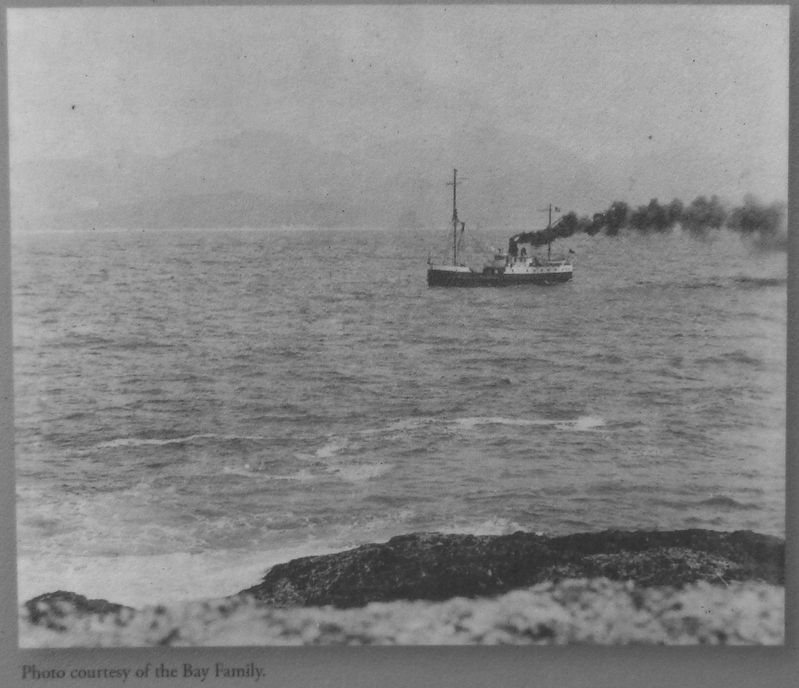
Components for the Heceta Head Lightstation were shippedd in and unloaded onto the shore, then carried up the hillside on wagons.
In 1894, the five-wick oil lamp at the new Heceta Head Light was lit, helping to illuminate that darkness.
Topics. This historical marker is listed in these topic lists: Man-Made Features • Waterways & Vessels.
Location. 44° 8.129′ N, 124° 7.369′ W. Marker is near Florence, Oregon, in Lane County. Marker can be reached from Cape Creek Road west of Oregon Coast Highway (U.S. 101). Marker is located at Heceta Head Lighthouse State Scenic Viewpoint, near the parking lot, along the path leading uphill to the Heceta Head Lighthouse. Touch for map. Marker is in this post office area: Florence OR 97439, United States of America. Touch for directions.
Other nearby markers. At least 8 other markers are within 12 miles of this marker, measured as the crow flies. Technology Spans (about 600 feet away, measured in a direct line); Hard Work at a Lonely Light (approx. 0.2 miles away); Road Behind And Sea Beyond (approx. ¼ mile away); Designed for Seafarer Safety (approx. ¼ mile away); A Battle With the Elements (approx. 0.3 miles away); Giant Spruce of Cape Perpetua (approx. 10.2 miles away); Harbor Theater (approx. 11.7 miles away); The Kyle Building (approx. 11.7 miles away). Touch for a list and map of all markers in Florence.
Related markers. Click here for a list of markers that are related to this marker. Oregon Coast Lighthouses
Also see . . . Heceta Head Light. Heceta Head is part of the Siuslaw Indians' traditional lands. Heceta Head was a spot of frequent fishing and hunting by the Native American tribes that populated the area. They hunted sea lions in the area and gathered sea bird eggs from the offshore rocks. In 1888, white settlers moved into the area and claimed 164 acres of the surrounding land. That same year, the United States Lighthouse Service approved the building of the lighthouse, and the government bought 19 acres, out of the 164 acres previously purchased, for the lighthouse structures. In 1892, a crew of 56 began construction the light. Because of the site's seclusion, building materials were either shipped in if the weather and tide permitted, or brought
Photographed By Cosmos Mariner, June 26, 2015
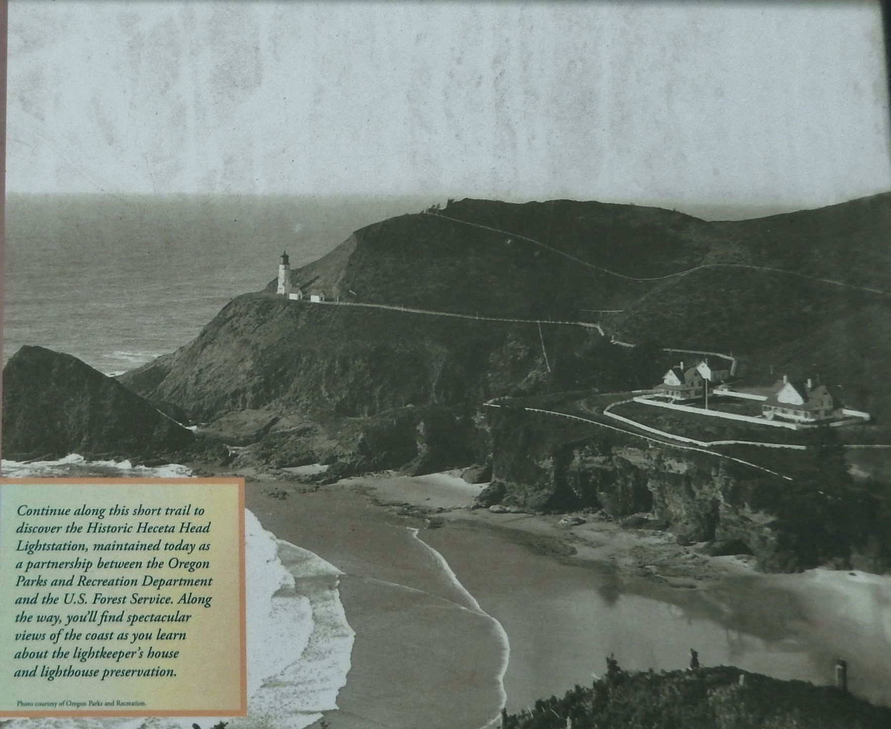
2. Marker detail: Trail to Lighthouse
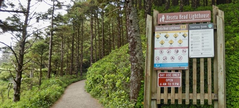
Continue along this short trail to discover the Historic Heceta Head Lightstation, maintained today as a partnership between the Oregon Parks and Recreation Department and the U.S. Forest Service.
Along the way, you'll find spectacular views of the coast as you learn about the lightkeeper's house and lighthouse preservation.
Credits. This page was last revised on October 19, 2020. It was originally submitted on January 25, 2018, by Cosmos Mariner of Cape Canaveral, Florida. This page has been viewed 429 times since then and 42 times this year. Last updated on February 9, 2018, by Cosmos Mariner of Cape Canaveral, Florida. Photos: 1. submitted on January 25, 2018, by Cosmos Mariner of Cape Canaveral, Florida. 2, 3, 4, 5, 6. submitted on January 27, 2018, by Cosmos Mariner of Cape Canaveral, Florida. 7. submitted on April 8, 2018, by Cosmos Mariner of Cape Canaveral, Florida. • Andrew Ruppenstein was the editor who published this page.
