Westville in Vermilion County, Illinois — The American Midwest (Great Lakes)
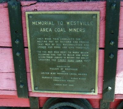
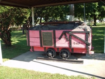
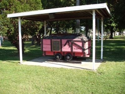
Memorial To Westville Area Coal Miners
"To the men who went to work below allowing the top to build and grow giving their labors in brawn and sweat creating the Finest Home Town Yet."
Erected 1968 by Village of Westville and United Mine Workers Local Unions (Murdock #8682, V-Day #1356, Frontenag #8605).
Topics. This historical marker is listed in these topic lists: Industry & Commerce • Labor Unions.
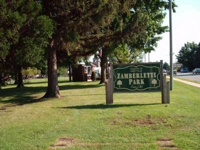
Location. 40° 2.815′ N, 87° 38.297′ W. Marker is in Westville, Illinois, in Vermilion County. Marker is at the intersection of North State Street and East Moses Avenue, on the right when traveling north on North State Street. Marker is at the entrance to Zamberletti Park in Westville. Touch for map. Marker is in this post office area: Westville IL 61883, United States of America. Touch for directions.
Other nearby markers. At least 8 other markers are within 5 miles of this marker, measured as the crow flies. Proudly We Pay Tribute (within shouting distance of this marker); Westville War Memorials (approx. 0.4 miles away); Potawatomi - A Trail of Death (approx. 3.6 miles away); Vermilion County War Memorial (approx. 3.7 miles away); Tilton Honor Roll (approx. 3.9 miles away); Servicemen From Tilton (approx. 3.9 miles away); Abraham Lincoln in Tilton, Illinois (approx. 3.9 miles away); 73rd and 125th Illinois Volunteer Infantry (approx. 4.8 miles away). Touch for a list and map of all markers in Westville.
Credits. This page was last revised on November 17, 2019. It was originally submitted on September 12, 2008, by Al Wolf of Veedersburg, Indiana. This page has been viewed 1,925 times since then and 26 times this year. Photos: 1, 2, 3, 4. submitted on September 12, 2008, by Al Wolf of Veedersburg, Indiana. • Kevin W. was the editor who published this page.


