Portland in Multnomah County, Oregon — The American West (Northwest)
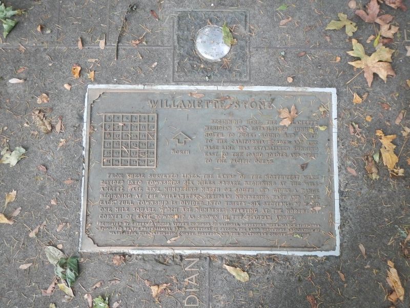
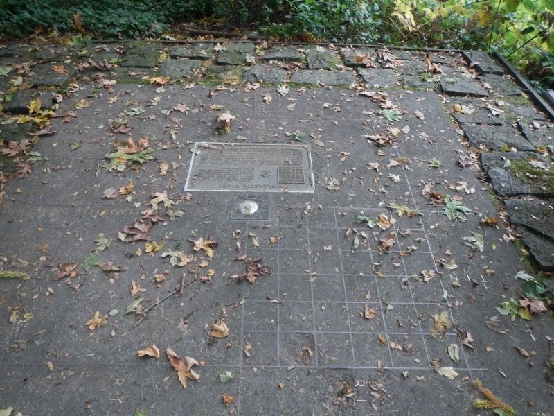
The Willamette Stone
From the surveyed lines, the lands of the Northwest were divided into townships six miles square beginning at the Willamette Base Line numbering north or south and given a Range beginning at the Willamette Meridian numbering east and west each full township is divided into thirty-six Sections of land one mile squares which are numbered starting at the northeast corner of each Township as shown in the diagram above.
Dedicated by Governor Victor Atiyeh in honor of National Surveyors Week, March 11-17, 1984. Sponsored by the Professional Land Surveyors of Oregon, the Land Surveyors Association of Washington, the Washington County Surveyors and the Multnomah County Surveyor.
Erected 1984 by Professional Land Surveyors of Oregon, the Land Surveyors Association of Washington, the Washington County Surveyors and the Multnomah County Surveyor.
Topics. This historical marker is listed in these topic lists: Landmarks • Man-Made Features • Notable Places. A significant historical date for this entry is June 4, 1851.
Location. 45° 31.192′ N, 122° 44.592′ W. Marker is in Portland, Oregon, in Multnomah County. Marker can be reached from NorthWest Skyline Boulevard near NorthWest Royal Boulevard, on the left when traveling west. Touch for map. Marker is at or near this postal address: 263 NorthWest Skyline Boulevard, Portland OR 97210, United States of America. Touch for directions.
Other nearby markers. At least 8 other markers are within 8 miles of this marker, measured as the crow flies. A different marker also named The Willamette Stone (about 500 feet away, measured in a direct line); The Telegram Building, 1922 (approx. 2.9 miles away); The Salvation Army (approx. 3.2 miles away); Dekum Building (approx. 3.3 miles away); In Remembrance of the United States Battleship Oregon (approx. 3˝ miles away); The Medal of Honor (approx. 4 miles away); Vanport (approx. 6.1 miles away); Heart of a Trading Empire (approx. 7.8 miles away in Washington). Touch for a list and map of all markers in Portland.
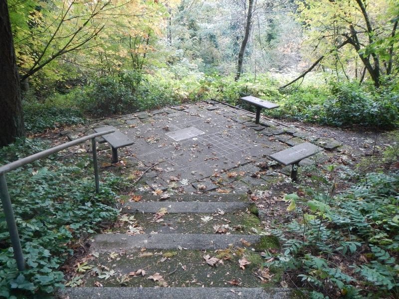
More about this marker. This marker is in Willamette State Heritage Site.
Credits. This page was last revised on February 10, 2018. It was originally submitted on February 10, 2018, by Barry Swackhamer of Brentwood, California. This page has been viewed 256 times since then and 21 times this year. Photos: 1, 2, 3. submitted on February 10, 2018, by Barry Swackhamer of Brentwood, California.


