The National Mall in Southwest Washington in Washington, District of Columbia — The American Northeast (Mid-Atlantic)
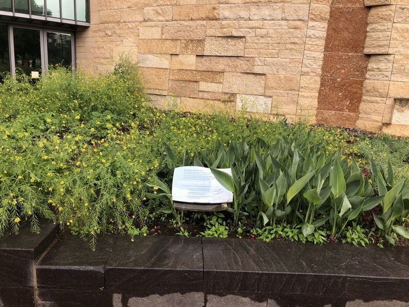
Traditional Croplands
Agricultural Gifts to the World
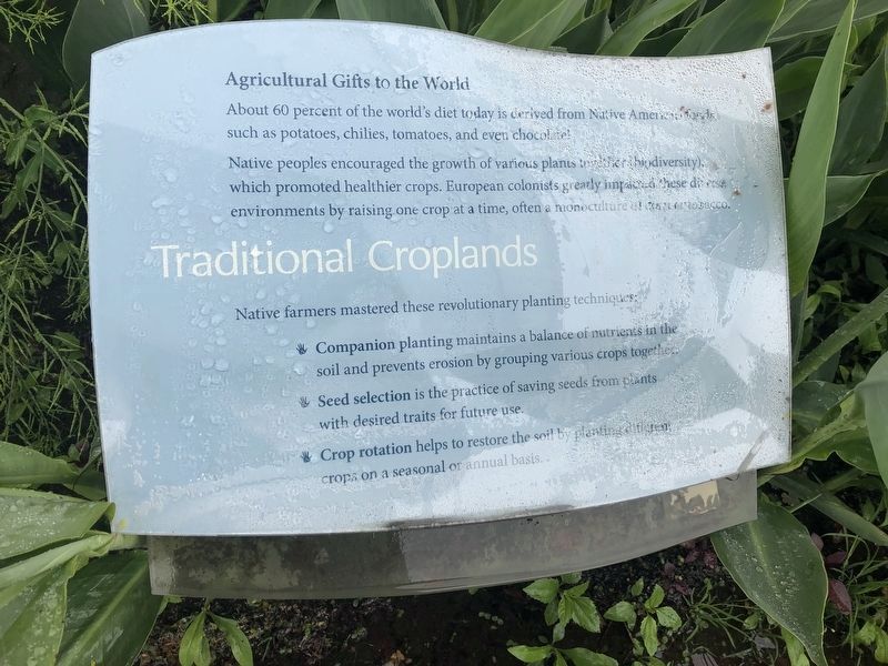
About 60 percent of the world's diet today is derived from Native American foods, such as potatoes, chilies, tomatoes, and even chocolate!
Native peoples encouraged the growth of various plants together (biodiversity), which promoted healthier crops. European colonists greatly impacted these diverse environments by raising crops one at a time, often a monoculture of corn or tobacco.
Native farmers mastered these revolutionary planting techniques:
✋ Companion planting maintains a balance of nutrients in the soil and prevents erosion by grouping various crops together.
✋ Seed selection is the practice of saving seeds from plants with desired traits for future use.
✋ Crop rotation helps restore the soil by planting different crops on a seasonal or annual basis.
Erected by Smithsonian Institution.
Topics. This historical marker is listed in these topic lists: Agriculture • Indigenous Peoples and Communities.
Location. This marker has been replaced by another marker nearby. It was located near 38° 53.286′ N, 77° 0.992′ W. Marker was in
this page online

Regionally, this marker was in the Washington Metropolitan Area. It was also in the American Northeast, in the Upper South, in the Mid-Atlantic, in the Tidewater, and in the Chesapeake Bay Region. Globally, it was in North America, the Western Hemisphere, the Western World, and the Anglosphere.
Other nearby markers. At least 5 other markers are within walking distance of this location: A different marker also named Traditional Croplands (here, next to this marker); a different marker also named Cardinal Direction Marker: South (a few steps from this marker); Nora Naranjo-Morse (a few steps from this marker); a different marker also named Nora Naranjo-Morse (within shouting distance of this marker); Eastern Meadow
Other markers no longer nearby. Cardinal Direction Marker: South (was a few steps from this marker but has been replaced with another marker now near it); Sunflower • Wádxaweew (wah-ha-way-oh) (was a few steps from this marker but has been permanently removed); a different marker also named Nora Naranjo-Morse (was within shouting distance of this marker but has been replaced with another marker now near it); Lunar Calendars (was within shouting distance of this marker but has been permanently removed); a different marker also named Nora Naranjo-Morse (was within shouting distance of this marker but has been replaced with another marker now near it); Meadow (was within shouting distance of this marker but has been replaced with another marker now near it); Sassafras • Wináhk (Wee-nock) (was within shouting distance of this marker but has been permanently removed); Eastern Redcedar • Muráhk (mah-dok) (was within shouting distance of this marker but has been permanently removed); Can you find symbols… (was within shouting distance of this marker but has been permanently removed); Cardinal Direction Markers (was within shouting distance of this marker but has been permanently removed); Upland Hardwood Forest (was within shouting distance of this marker but has been replaced with another marker now near it).
Related marker. Click here for another marker that is related to this marker. This marker has been replaced with the linked marker.
Credits. This page was last revised on January 30, 2023. It was originally submitted on November 14, 2017, by Devry Becker Jones of Washington, District of Columbia. This page has been viewed 353 times since then and 6 times this year. Last updated on February 10, 2018, by Devry Becker Jones of Washington, District of Columbia. Photos: 1, 2. submitted on May 13, 2019, by Devry Becker Jones of Washington, District of Columbia. • Bill Pfingsten was the editor who published this page.
