East Windsor in Capitol Region, Connecticut — The American Northeast (New England)
East Windsor
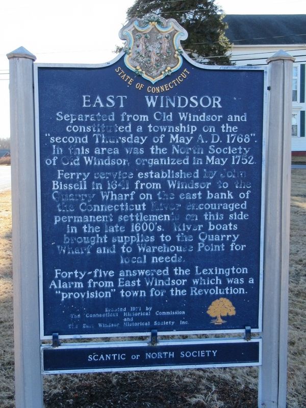
Photographed by Michael Herrick, February 5, 2018
1. East Windsor Marker
Forty-five answered the Lexington Alarm from East Windsor which was a “provision” town for the Revolution.
The Connecticut Historical Commission
and the East Windsor Historical Society Inc.
Scantic or North Society
Erected 1971 by The Connecticut Historical Commission and the East Windsor Historical Society Inc.
Topics. This historical marker is listed in these topic lists: Colonial Era • Settlements & Settlers.
Location. 41° 53.967′ N, 72° 34.838′ W. Marker is in East Windsor in Capitol Region, Connecticut. It is on Scantic Road near Phelps Road, on the
this page online

Regionally, this marker is in the Connecticut River Valley, in Greater Hartford, and in the Knowledge Corridor. It is also in the American Northeast and in New England. Globally, it is in North America, the Western Hemisphere, the Western World, and the Anglosphere. Historically, it finds itself in what was once Hartford County and also one of the original Thirteen Colonies.
Other nearby markers. At least 8 other markers are within 3 miles of this marker, measured as the crow flies: Site of Constitutional Oak (within shouting distance of this marker); Spirit of Unity Time Capsule (approx. 2 miles away); East Windsor World War I Monument (approx. 2 miles away); Broad Brook Windsorville Melrose Veterans Memorial (approx. 2 miles away); Birthplace of Oliver Ellsworth (approx. 2.7 miles away); East Windsor Veterans Memorial (approx. 2.8 miles away); Windsor Locks Korean Conflict Monument
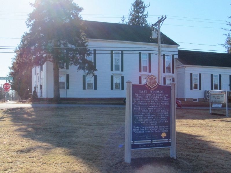
Photographed by Michael Herrick, February 5, 2018
2. East Windsor Marker
Also see . . .
1. Town of East Windsor, Connecticut. (Submitted on February 10, 2018, by Michael Herrick of Southbury, Connecticut.)
2. East Windsor, Connecticut on Wikipedia. (Submitted on February 10, 2018, by Michael Herrick of Southbury, Connecticut.)
Credits. This page was last revised on May 19, 2026. It was originally submitted on February 10, 2018, by Michael Herrick of Southbury, Connecticut. This page has been viewed 571 times since then and 56 times this year. Photos: 1, 2. submitted on February 10, 2018, by Michael Herrick of Southbury, Connecticut.
