South Windsor in Hartford County, Connecticut — The American Northeast (New England)
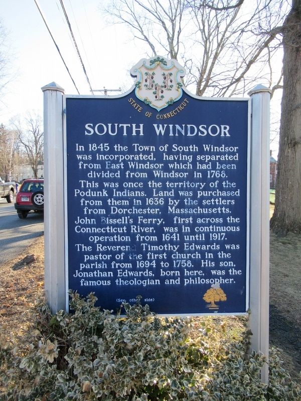
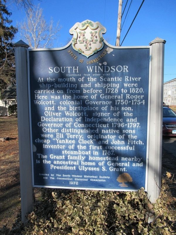
South Windsor
( back )
At the mouth of the Scantic River ship-building and shipping were carried on from before 1728 to 1820. Here was the home of General Roger Wolcott, colonial Governor 1750-1754 and the birthplace of his son, Oliver Wolcott, signer of the Declaration of Independence and Governor of Connecticut 1796-1797. Other distinguished native sons were Eli Terry, originator of the cheap "Yankee Clock” and John Fitch, inventor of the first successful steamboat in 1787. The Grant family homestead nearby is the ancestral home of General and President Ulysses S. Grant.
and The Connecticut Historical Commission
1972
Erected 1972 by The South Windsor Historical Society and The Connecticut Historical Commission.
Topics. This historical marker is listed in these topic lists: Colonial Era • Settlements & Settlers.
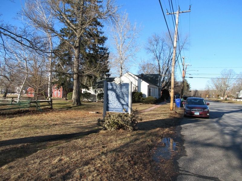
Location. 41° 51.496′ N, 72° 36.255′ W. Marker is in South Windsor, Connecticut, in Hartford County. Marker is at the intersection of Main Street and Sullivan Avenue, on the left when traveling north on Main Street. Touch for map. Marker is at or near this postal address: 1865 Main Street, South Windsor CT 06074, United States of America. Touch for directions.
Other nearby markers. At least 8 other markers are within 2 miles of this marker, measured as the crow flies. Post Office & Store (a few steps from this marker); Bissell Ferry (within shouting distance of this marker); Timothy Edwards (approx. 0.7 miles away); Jonathan Edwards (approx. ¾ mile away); Old Burying Ground (approx. ¾ mile away); a different marker also named Bissell Ferry (approx. ¾ mile away); Birthplace of Jonathan Edwards (approx. one mile away); Bissell's Ferry (approx. 1.4 miles away). Touch for a list and map of all markers in South Windsor.
Also see . . . South Windsor, Connecticut on Wikipedia. (Submitted on February 11, 2018, by Michael Herrick of Southbury, Connecticut.)
Credits. This page was last revised on November 10, 2020. It was originally submitted on February 11, 2018, by Michael Herrick of Southbury, Connecticut. This page has been viewed 255 times since then and 19 times this year. Photos: 1, 2, 3. submitted on February 11, 2018, by Michael Herrick of Southbury, Connecticut.


