Hatteras in Dare County, North Carolina — The American South (South Atlantic)
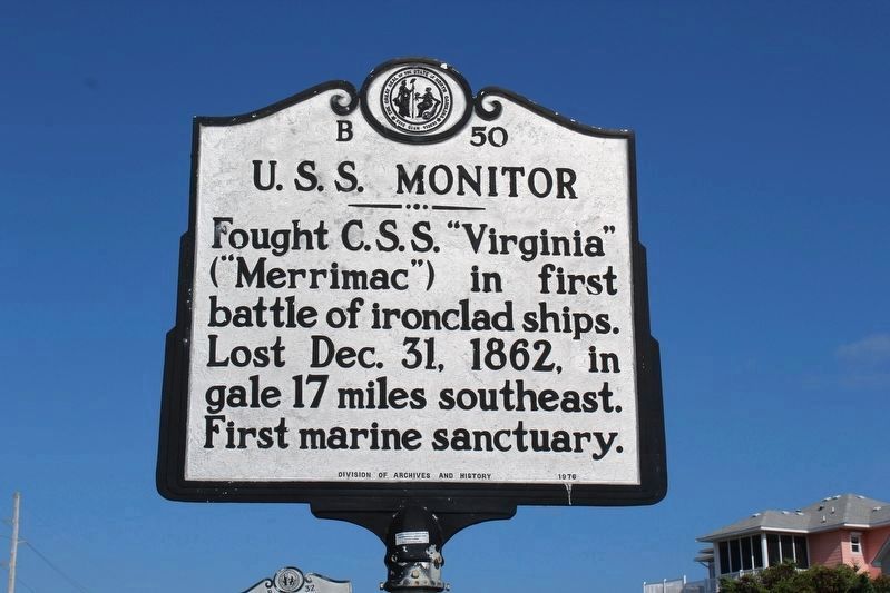
U.S.S. Monitor
Erected 1976 by Division of Archives and History. (Marker Number B-50.)
Topics and series. This historical marker is listed in these topic lists: War, US Civil • Waterways & Vessels. In addition, it is included in the North Carolina Division of Archives and History series list. A significant historical date for this entry is December 31, 1862.
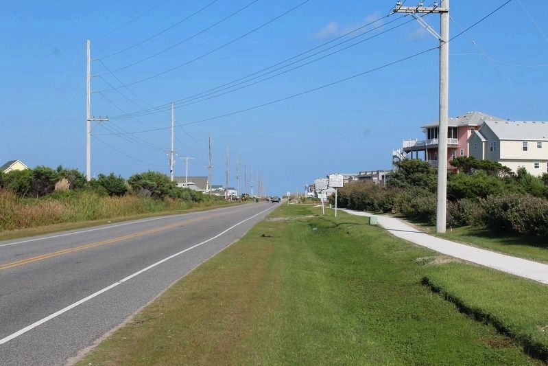
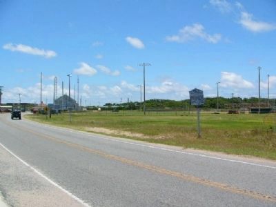
Location. 35° 12.882′ N, 75° 40.895′ W. Marker is in Hatteras, North Carolina, in Dare County. Marker is at the intersection of State Highway 12 and Summerplace Drive, on the right when traveling north on State Highway 12. Touch for map. Marker is in this post office area: Hatteras NC 27943, United States of America. Touch for directions.
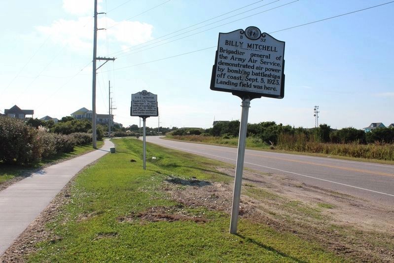
Other nearby markers. At least 8 other markers are within 2 miles of this marker, measured as the crow flies. Billy Mitchell (about 300 feet away, measured in a direct line); Welcome to Hatteras Village (approx. half a mile away); Island Veterans of the Civil War / America's 1st Amphibious Assault of the Civil War (approx. half a mile away); America's 1st Attempt at Civil War Reunification (approx. 0.6 miles away); Storm Watch (approx. 0.6 miles away); Confederate Forts (approx. 1.3 miles away); Welcome to captivating Hatteras Island… (approx. 1.3 miles away); Propeller From USS Dionysus (approx. 1.3 miles away). Touch for a list and map of all markers in Hatteras.
More about this marker. This marker was originally located in Buxton, NC (35.26588N, 75.52060W).
Additional commentary.
1. On the USS Monitor and the Establishment of the National Marine Sanctuary
The US Department of the Navy's Naval Historical Center (see link above) had this to say about the wreck of the USS Monitor:
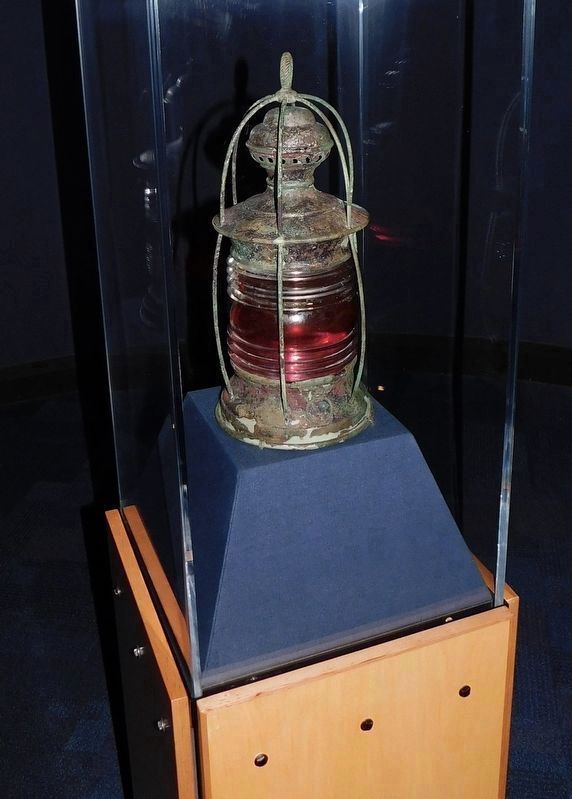
"The wreckage of the ironclad was discovered in 1973 by a team of scientists from Duke University, the State of North Carolina, and the Massachusetts Institute Technology. As part of a series of marine sanctuary laws passed by the U.S. Congress, the site of the wreck was designated a National Marine Sanctuary on 30 January 1975 and placed under the protection of the National Oceanic and Atmospheric Administration (NOAA). Owing to deterioration of the wreck from storm and other damage, some artifacts—such as the propeller shaft and hull plates—were later recovered for
historic preservation. Starting in March 2001, a five month long expedition involving NOAA, the Naval Sea Systems Command (NAVSEA), Mobile Diving and Salvage Unit Two (MDSU TWO) and The Mariners’ Museum, raised the ironclads innovative steam engine and other parts recovered at the site. The following year, in July and August 2002, the gun turret was raised from the site. These artifacts were transferred to the Mariner’s Museum in Newport News, Va., for historic preservation."
— Submitted September 16, 2008.
Credits. This page was last revised on January 25, 2022. It was originally submitted on September 12, 2008, by M. L. 'Mitch' Gambrell of Taylors, South Carolina. This page has been viewed 1,924 times since then and 40 times this year. Photos: 1, 2, 3. submitted on January 25, 2022, by Tom Bosse of Jefferson City, Tennessee. 4, 5. submitted on July 1, 2009, by Kevin W. of Stafford, Virginia. 6. submitted on November 2, 2021, by Bradley Owen of Morgantown, West Virginia. • Craig Swain was the editor who published this page.
