Kingsport in Sullivan County, Tennessee — The American South (East South Central)
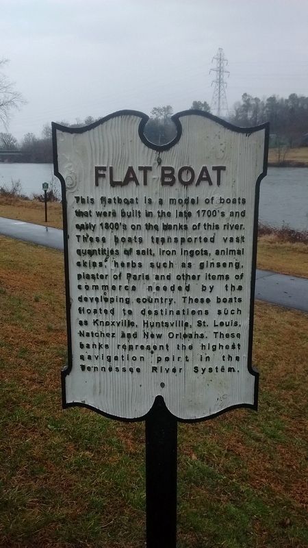
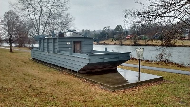
Flatboat
Topics. This historical marker is listed in these topic lists: Industry & Commerce • Waterways & Vessels.
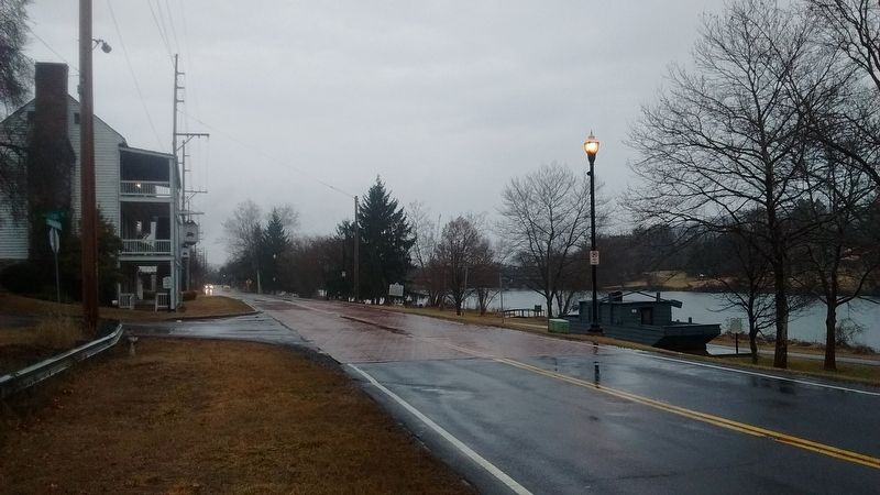
Location. 36° 33.033′ N, 82° 35.694′ W. Marker is in Kingsport, Tennessee, in Sullivan County. Marker is on Netherland Inn Road, on the right when traveling east. Touch for map. Marker is in this post office area: Kingsport TN 37660, United States of America. Touch for directions.
Other nearby markers. At least 8 other markers are within walking distance of this marker. The Boat Yard (within shouting distance of this marker); Daniel Boone Wilderness Trail (within shouting distance of this marker); Colonel Gilbert Christian (within shouting distance of this marker); Netherland Inn (within shouting distance of this marker); Flatboat "Adventure" December 22, 1779 (within shouting distance of this marker); Netherland Inn / King's Boat Yard (within shouting distance of this marker); Bank Barn (within shouting distance of this marker); The Old Schoolhouse (about 300 feet away, measured in a direct line). Touch for a list and map of all markers in Kingsport.
Credits. This page was last revised on February 12, 2018. It was originally submitted on February 11, 2018, by Tom Bosse of Jefferson City, Tennessee. This page has been viewed 413 times since then and 40 times this year. Photos: 1, 2, 3. submitted on February 11, 2018, by Tom Bosse of Jefferson City, Tennessee. • Bill Pfingsten was the editor who published this page.


