Near Cordova in Richmond County, North Carolina — The American South (South Atlantic)
North Carolina / South Carolina
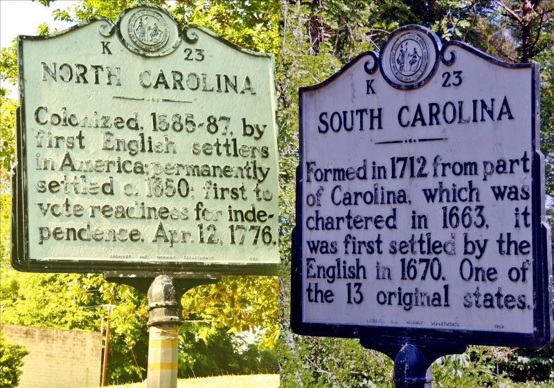
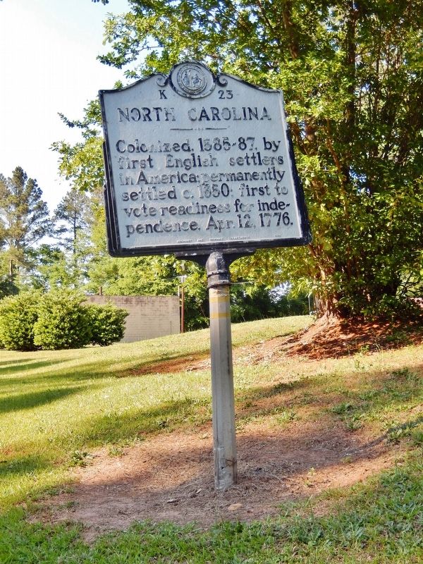
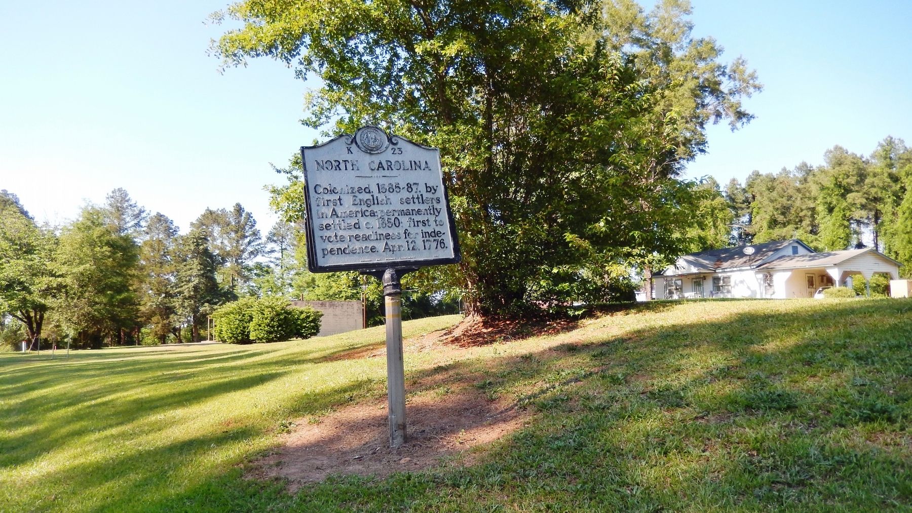
North Carolina. Colonized, 1585-87, by first English settlers in America; permanently settled c.1650; first to vote readiness for independence, Apr. 12, 1776.
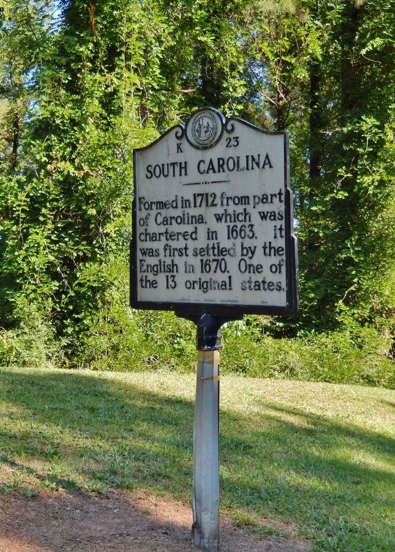
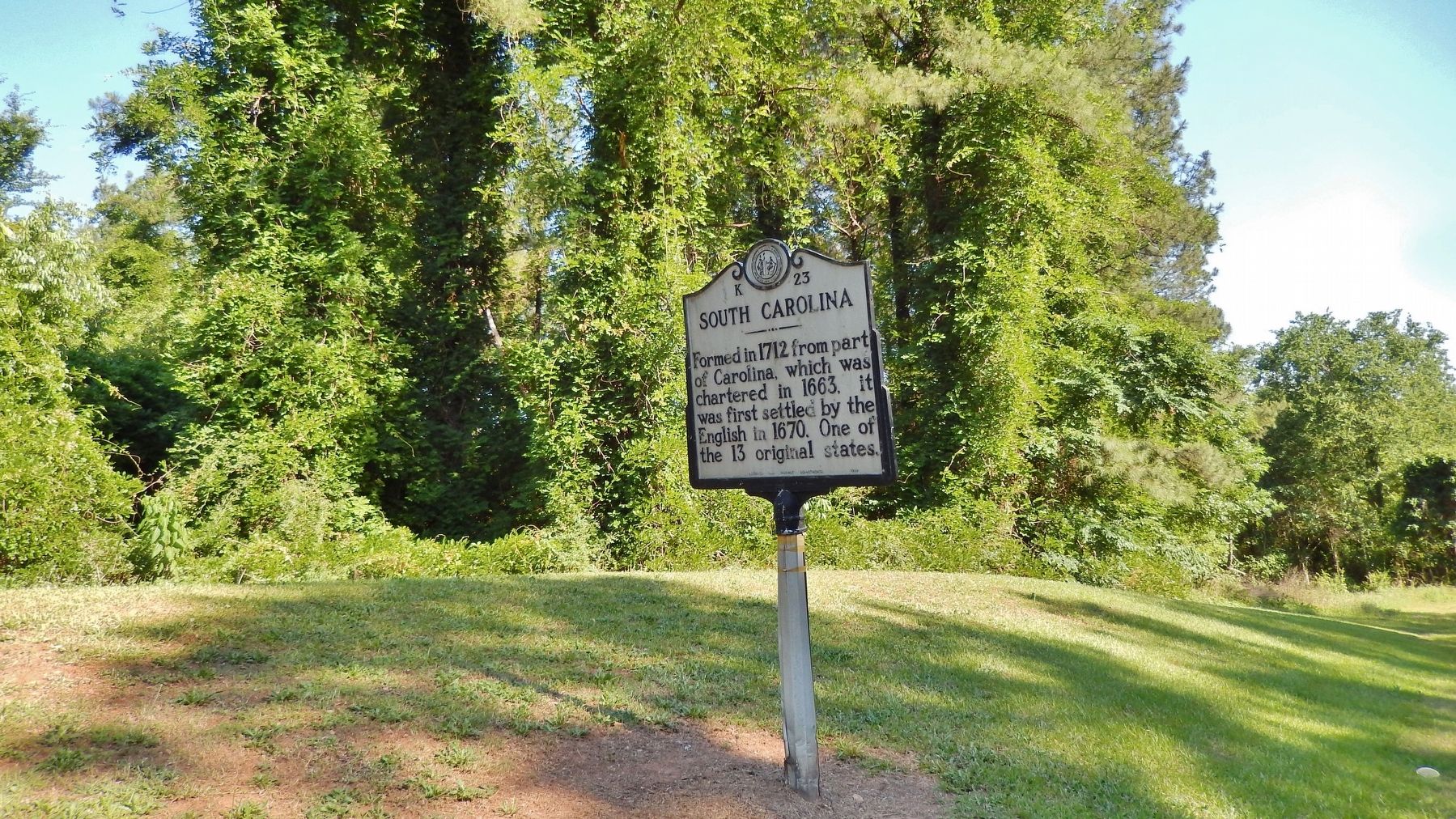
South Carolina. Formed in 1712 from part of Carolina, which was chartered in 1663, it was first settled by the English in 1670. One of the 13 original states.
Erected 1969 by Archives and Highway Departments. (Marker Number K-23.)
Topics and series. This historical marker is listed in these topic lists: Colonial Era • Political Subdivisions • Settlements & Settlers. In addition, it is included in the North Carolina Division of Archives and History series list. A significant historical year for this entry is 1585.
Location. 34° 48.424′ N, 79° 53.368′ W. Marker is near Cordova, North Carolina, in Richmond County. Marker is on U.S. 1, 0.7 miles south of Everetts Mill Road, on the right when traveling north. Marker is located just north of the NC/SC state line. Touch for map. Marker is in this post office area: Rockingham NC 28379, United States of America. Touch for directions.
Other nearby markers. At least 8 other markers are within 7 miles of this marker, measured as the crow flies. Sherman's March (about 500 feet away, measured in a direct line); Pegues Place / Revolutionary Cartel (approx. half a mile away in South Carolina); a different marker also named North Carolina / South Carolina (approx. 4˝ miles away); Henry William Harrington (approx. 4.9 miles away); Albert M. Shipp (approx. 6.1 miles away in South Carolina); Greene's Encampment / Sherman's March (approx. 6.2 miles away in South Carolina); John J. McRae (approx. 6˝ miles away); Sneedsborough (approx. 6˝ miles away).
Also see . . .
1. North Carolina History. Woodland-culture American Indians were in the area around 1000 BCE; starting around 750 CE, Mississippian-culture Indians created larger political units with stronger leadership and more stable, longer-term settlements. Juan Pardo explored the area in 1566–1567, establishing Fort San Juan in 1567 at the site of the Native American community of Joara, a Mississippian culture regional chiefdom in the western interior, near the present-day city of Morganton. (Submitted on February 12, 2018, by Cosmos Mariner of Cape Canaveral, Florida.)
2. History of South Carolina. South Carolina was one of the original thirteen states of the United States. European exploration of the area began in April 1540, with the Hernando de Soto expedition, who unwittingly introduced new Eurasian diseases that decimated the local Native American population. In 1663 the English Crown granted land to eight proprietors of what became the colony. The first settlers came to the Province of Carolina at the port of Charleston in 1670; they were mostly wealthy planters and their slaves coming from the English Caribbean colony of Barbados. (Submitted on February 12, 2018, by Cosmos Mariner of Cape Canaveral, Florida.)
Credits. This page was last revised on July 1, 2021. It was originally submitted on February 12, 2018, by Cosmos Mariner of Cape Canaveral, Florida. This page has been viewed 277 times since then and 27 times this year. Photos: 1, 2, 3, 4, 5. submitted on February 12, 2018, by Cosmos Mariner of Cape Canaveral, Florida. • Bernard Fisher was the editor who published this page.
