
Near Corbett in Multnomah County, Oregon — The American West (Northwest)
Chanticleer Point
A View and a Vision
Photographed by Cosmos Mariner, July 12, 2015
1. Chanticleer Point Marker
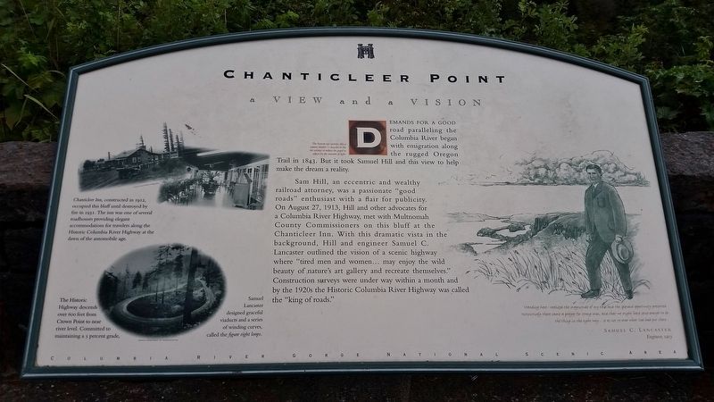
Demands for a good road paralleling the Columbia River began with emigration along the rugged Oregon Trail in 1843. But it took Samuel Hill and this view to help make the dream a reality.
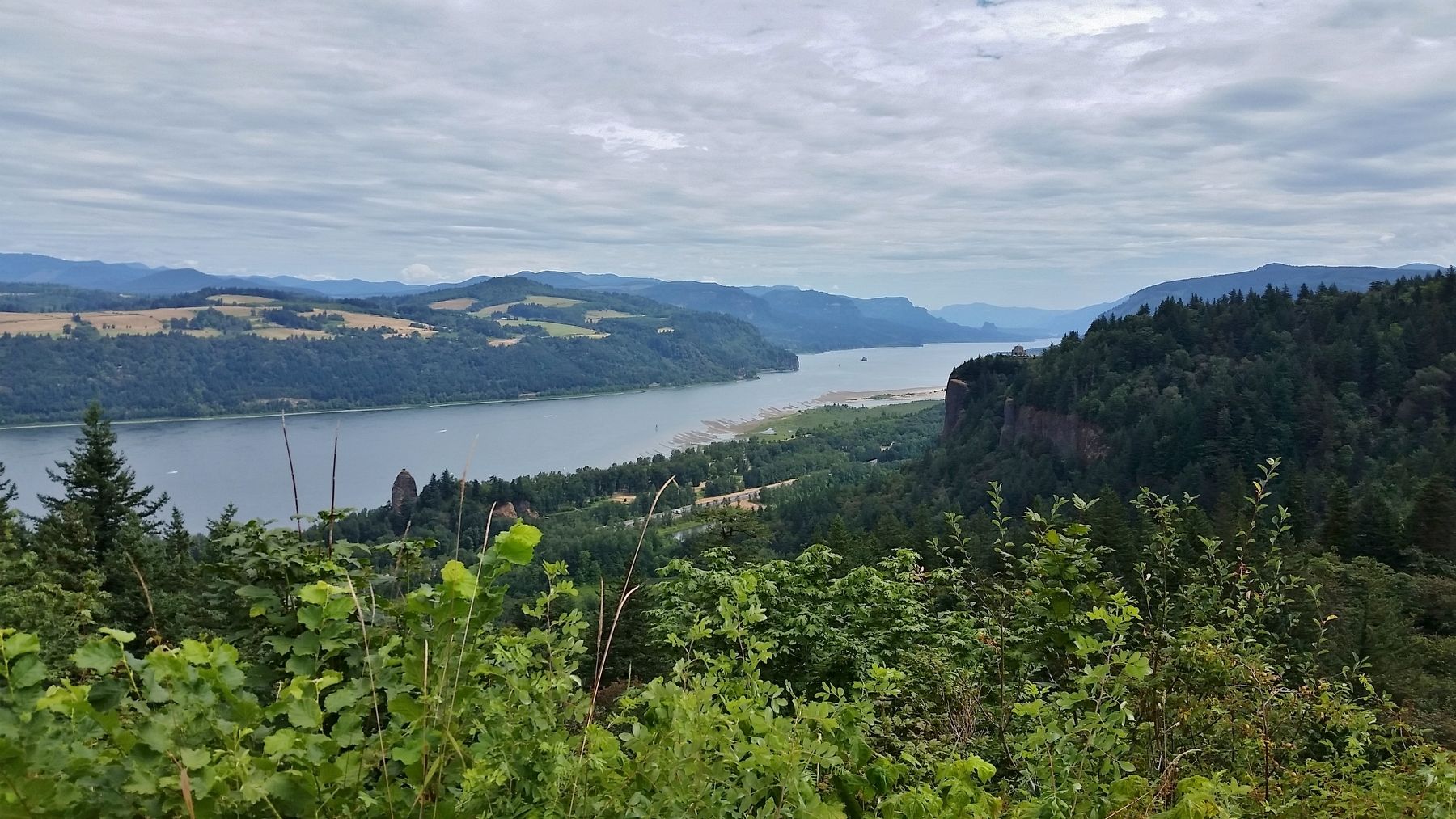
Sam Hill, an eccentric and wealthy railroad attorney, was a passionate "good roads" enthusiast with a flair for publicity. On August 27, 1913, Hill and other advocates for a Columbia River Highway, met with Multnomah County Commissioners on this bluff at the Chanticleer Inn. With this dramatic vista in the background, Hill and engineer Samuel C. Lancaster outlined the vision of a scenic highway where "tired men and women… may enjoy the wild beauty of nature's art gallery and recreate themselves.” Construction surveys were under way within a month and by the 1920s the Historic Columbia River Highway was called the “king of roads.”
Topics. This historical marker is listed in this topic list: Roads & Vehicles.
Location. 45° 32.021′ N, 122° 15.616′ W. Marker is near Corbett, Oregon, in Multnomah County. It can be reached from Historic Columbia River Highway west
this page online

Regionally, this marker is in Oregon’s Columbia River Gorge, in the Willamette Valley, and in Greater Portland Area. It is also on the American Pacific Coast, in the Pacific Northwest, and in the Lewis & Clark Corridor. Globally, it is in North America, on the Ring of Fire, in the Pacific Rim, in the Western Hemisphere, in the Western World, and in the Anglosphere.
Other nearby markers. At least 8 other markers are within 2 miles of this marker, measured as the crow flies: Samuel Hill – “Road Builder” (within shouting distance of this marker); a different marker also named Chanticleer Point (about 300 feet away, measured in a direct line); Vista House (approx. 0.8 miles away); Marshall N. Dana (approx. 0.9 miles away); Samuel C. Lancaster (approx. 0.9 miles away); Broughton’s Expedition
Photographed by Cosmos Mariner, July 12, 2015
2. Marker detail: Chanticleer Inn
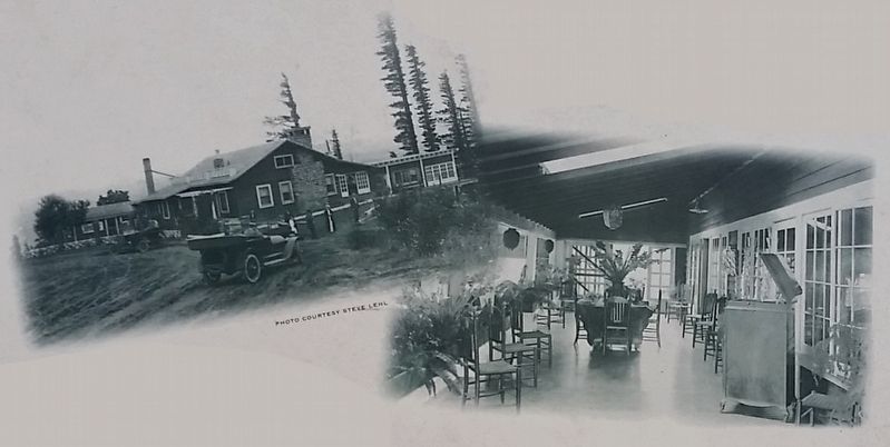
Chanticleer Inn, constructed in 1912, occupied this bluff until destroyed by fire in 1931.
The inn was one of several roadhouses providing elegant accommodations for travelers along the Historic Columbia River Highway at the dawn of the automobile age.
Related markers. Click here for a list of markers that are related to this marker.
Also see . . .
1. Chanticleer Inn, Columbia River Highway. Pdx History website entry:
Built in 1912, about 25 miles east of Portland, on an elevation high above the bank of the Columbia River, the Chanticleer Inn hosted many a General, several Presidents and many foreign dignitaries. Before the Columbia River Highway was opened in 1915, the only way to reach Chanticleer was by taking a boat or the train to Rooster Rock and then riding or walking up the steep, unpaved road. After the highway opened, Chanticleer welcomed even more hungry motorists. (Submitted on February 13, 2018, by Cosmos Mariner of Cape Canaveral, Florida.)
2. Columbia River Scenic Highway (King of Roads). Scenic USA - Oregon website entry (Submitted on March 16, 2022, by Larry Gertner of New York, New York.)
3. Samuel C. Lancaster. Wikipedia entry (Submitted on May 21, 2023, by Larry Gertner of New York, New York.)
Photographed by Cosmos Mariner, July 12, 2015
3. Marker detail: winding curves
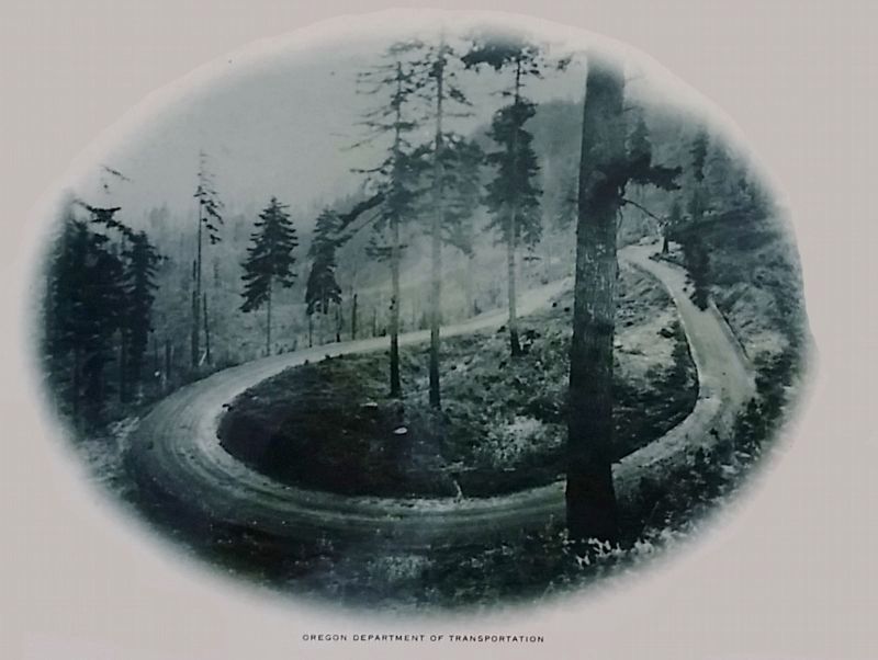
The Historic Highway descends over 600 feet from Crown Point to near river level. Committed to maintaining a 5 percent grade, Samuel Lancaster designed graceful viaducts and a series of winding curves, called the figure eight loops.
Photographed by Cosmos Mariner, July 12, 2015
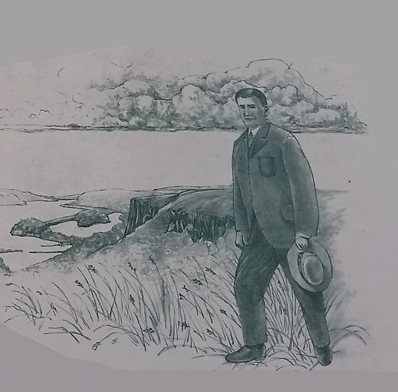
4. Marker detail: Samuel C. Lancaster Engineer, 1915
"Standing here I realized the magnitude of my task and the splendid opportunity presented. Instinctively there came a prayer for strong men, and that we might have sense enough to do the thing in the right way... so as not to mar what God had put there..."
Photographed by Cosmos Mariner, July 12, 2015
5. Columbia River Gorge (view northeast from marker)
Photographed by Cosmos Mariner, July 12, 2015
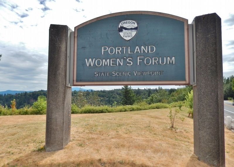
6. Portland Women's Forum sign (sign on highway near marker)
Credits. This page was last revised on May 21, 2023. It was originally submitted on February 13, 2018, by Cosmos Mariner of Cape Canaveral, Florida. This page has been viewed 1,200 times since then and 74 times this year. Photos: 1, 2, 3, 4, 5, 6. submitted on February 13, 2018, by Cosmos Mariner of Cape Canaveral, Florida. • Andrew Ruppenstein was the editor who published this page.
