Umatilla in Umatilla County, Oregon — The American West (Northwest)
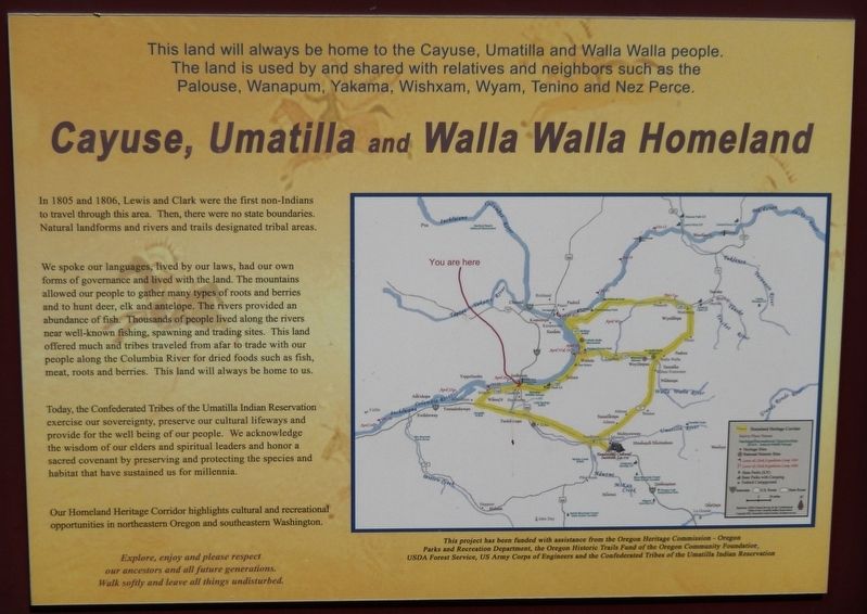
Cayuse, Umatilla and Walla Walla Homeland
Photographed by Cosmos Mariner, July 3, 2016
1. Cayuse, Umatilla and Walla Walla Homeland Marker
This land will always be home to the Cayuse, Umatilla and Walla Walla people. The land is used by and shared with relatives and neighbors such as the Palouse, Wanapum, Yakama, Wishxam, Wyam, Tenino and Nez Perce.
In 1805 and 1806, Lewis and Clark were the first non-Indians to travel through this area. Then, there were no state boundaries. Natural landforms and rivers and trails designated tribal areas.
We spoke our languages, lived by our laws, had our own forms of governance and lived with the land. The mountains allowed our people to gather many types of roots and berries and to hunt deer, elk and antelope. The rivers provided an abundance of fish. Thousands of people lived along the rivers near well-known fishing, spawning and trading sites. This land offered much and tribes traveled from afar to trade with our people along the Columbia River for dried foods such as fish, meat, roots and berries. This land will always be home to us.
Today, the Confederated Tribes of the Umatilla Indian Reservation exercise our sovereignty, preserve our cultural lifeways and provide for the well being of our
this page online
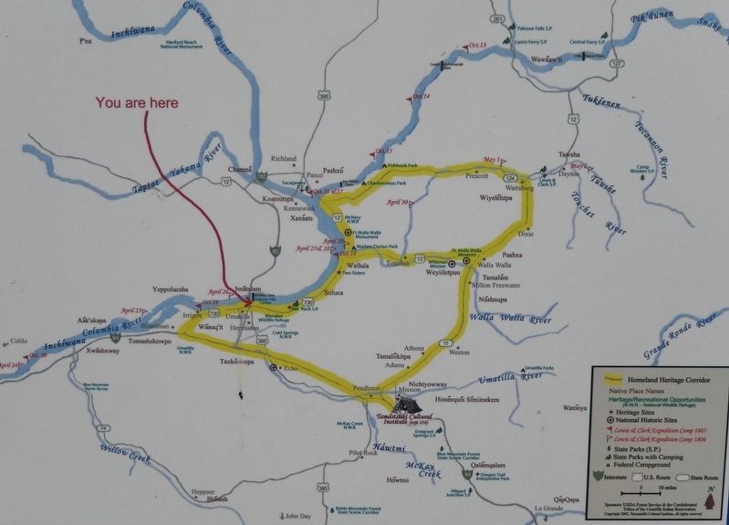
Our Homeland Heritage Corridor highlights cultural and recreational opportunities in northeastern Oregon and southeastern Washington.
Explore, enjoy and please respect our ancestors and all future generations. Walk softly and leave all things undisturbed.
This project has been funded with assistance from the Oregon Heritage Commission – Oregon Parks and Recreation Department, the Oregon Historic Trails Fund of the Oregon Community Foundation, USDA Forest Service, US Army Corps of Engineers and the Confederated Tribes of the Umatilla Indian Reservation
Topics and series. This historical marker is listed in these topic lists: Exploration • Indigenous Peoples and Communities • Notable Places. In addition, it is included in the Lewis & Clark Expedition series list.
Location. 45° 55.207′ N, 119° 18.299′ W. Marker is in Umatilla, Oregon, in Umatilla County. It is
Photographed by Cosmos Mariner, July 3, 2016
2. Marker detail: CTUIR Homeland Heritage Corridor

Regionally, this marker is in Eastern Oregon. It is also in the American Mountain West and in the Lewis & Clark Corridor. Globally, it is in North America, on the Pacific Rim, in the Western Hemisphere, in the Western World, and in the Anglosphere.
Other nearby markers. At least 8 other markers are within 7 miles of this marker, measured as the crow flies: Patímaša Tiičámna (here, next to this marker); The Lewis and Clark Expedition (a few steps from this marker); The Umatilla Rapids (a few steps from this marker); McNary Dam Tetrahedrons (approx. 1.6 miles away in Washington); Umatilla Veterans Memorial (approx. 2.2 miles away); Strangers "from the clouds" (approx. 2.4 miles away in Washington); How Do You Make a Hat? (approx. 6½ miles away); Naamí Tiičám Ku Waqíšwit (approx.
Photographed by Cosmos Mariner, July 3, 2016
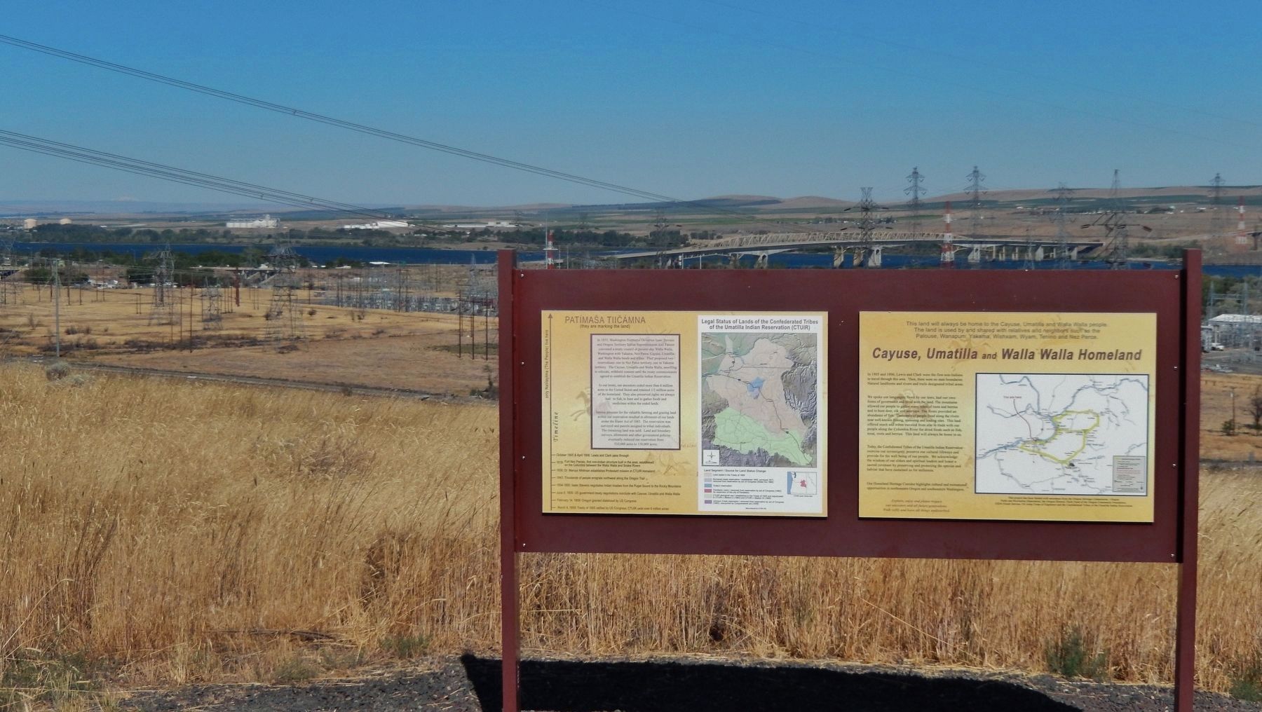
3. Cayuse, Umatilla and Walla Walla Homeland Marker (wide view showing adjacent marker on left)
Related markers. Click here for a list of markers that are related to this marker. Confederated Tribes of the Umatilla Indian Reservation
Also see . . . Confederated Tribes of the Umatilla Indian Reservation.
Prior to the 1855 Treaty, the tribes’ economy consisted primarily of intertribal trade, livestock, trade with fur companies, hunting, fishing and gathering. Today, the economy includes agriculture, livestock, tourism, a travel plaza, grain elevator, the Wildhorse Resort (casino, hotel, RV Park, golf course), Tamástslikt Cultural Institute, Cayuse Technologies, and Coyote Business Park (Submitted on February 15, 2018, by Cosmos Mariner of Cape Canaveral, Florida.)
Photographed by Cosmos Mariner, July 3, 2016
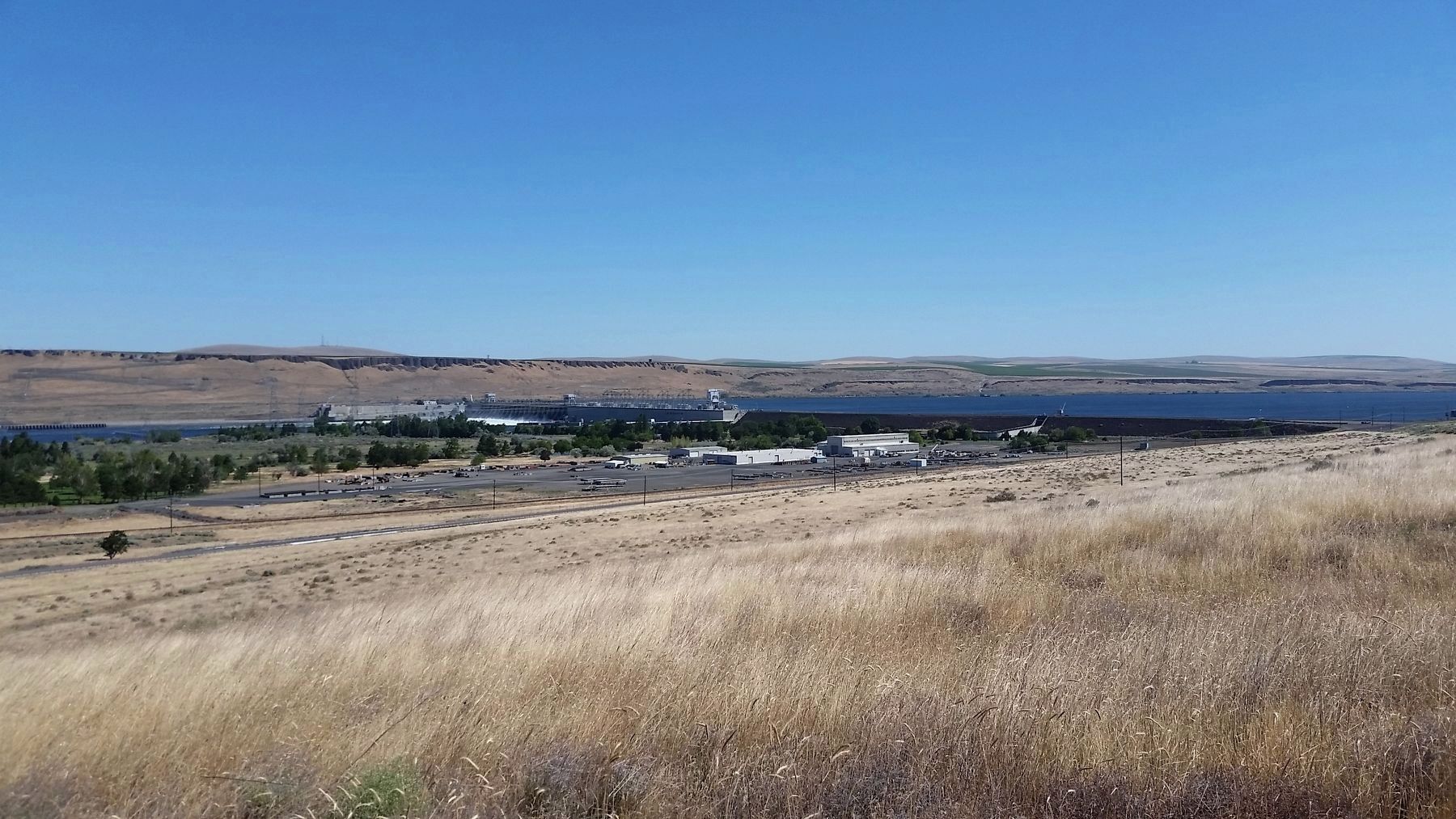
4. Columbia River, McNary Dam and Lake Wallula (view northeast from marker)
Credits. This page was last revised on January 11, 2026. It was originally submitted on February 15, 2018, by Cosmos Mariner of Cape Canaveral, Florida. This page has been viewed 1,769 times since then and 137 times this year. Photos: 1, 2, 3, 4. submitted on February 15, 2018, by Cosmos Mariner of Cape Canaveral, Florida. • Bill Pfingsten was the editor who published this page.
