Coos Bay in Coos County, Oregon — The American West (Northwest)
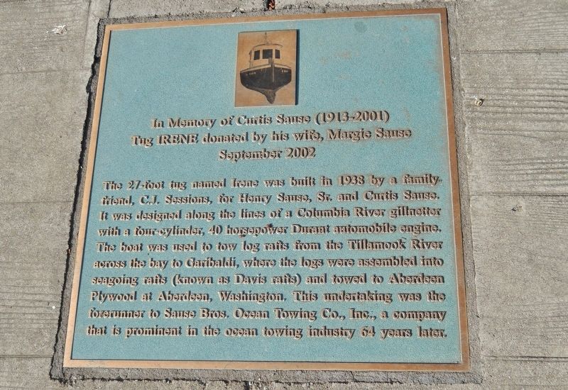
In Memory of Curtis Sause (1913-2001)
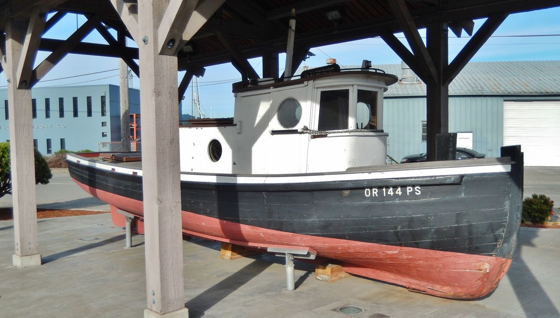
Tug IRENE donated by his wife, Margie Sause
| — | September 2002 | — |
Photographed by Cosmos Mariner, June 24, 2015
1. In Memory of Curtis Sause (1913-2001) Marker
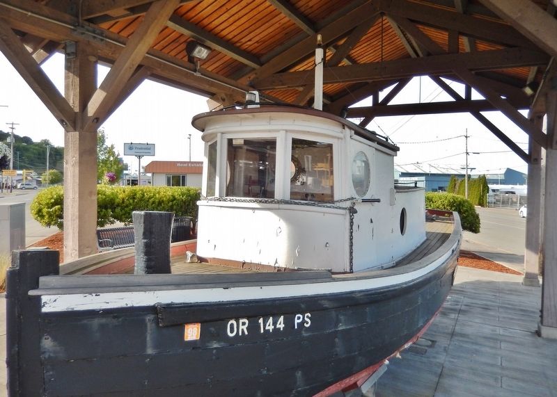
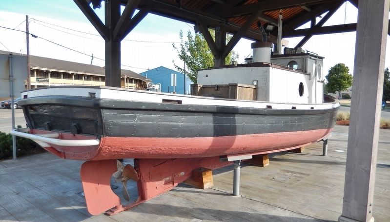
The 27-foot tug named Irene was built in 1938 by a family friend, C.J. Sessions, for Henry Sause, Sr. and Curtis Sause. It was designed along the lines of a Columbia River gillnetter with a four-cylinder, 40 horsepower Durant automobile engine. The boat was used to tow log rafts from the Tillamook River across the bay to Garibaldi, where the logs were assembled into seagoing rafts (known as Davis rafts) and towed to Aberdeen Plywood at Aberdeen, Washington. This undertaking was the forerunner to Sause Bros. Ocean Towing Co., Inc., a company that is prominent in the ocean towing industry 64 years later.
Erected 2002 by Margie Sause.
Topics. This historical marker is listed in these topic lists: Industry & Commerce • Waterways & Vessels.
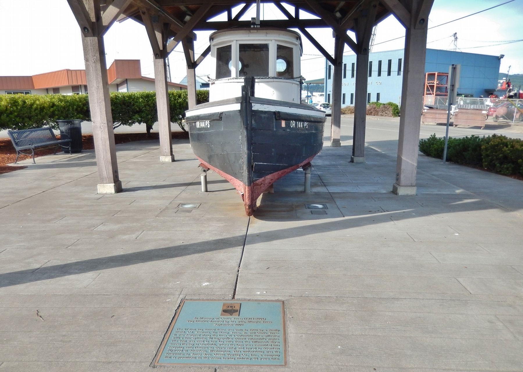
Location. 43° 22.227′ N, 124° 12.715′ W. Marker is in Coos Bay, Oregon, in Coos County. It is on Oregon Coast Highway (U.S. 101) north of East Market Avenue, on the right when traveling north. Marker is a metal tablet mounted in the sidewalk in front of a kiosk exhibiting the subject tugboat. The kiosk is on the sidewalk midway between US 101 and North Front Street. Touch for map. Marker is at or near this postal address: 390 North Front Street, Coos Bay OR 97420, United States of America.
this page online

Regionally, this marker is in Southern Oregon and specifically on the Oregon Coast. It is also on the American Pacific Coast, in the Pacific Northwest, and in the Lewis & Clark Corridor. Globally, it is in North America, on the Ring of Fire, on the Pacific Rim, in the Western Hemisphere, in the Western World, and in the Anglosphere.
Other nearby markers. At least 8 other markers are within walking distance of this marker: 340 Year Old Tree (a few steps from this marker); Bay View Brewery / Guildesheim's 2nd Hand Hide & Junk Store (a few steps from this marker); What is a Tugboat? (approx. 0.2 miles away); Tugboat Ancestors (approx. 0.2 miles away); Tug Power (approx. 0.2 miles away); Koos No. 2 (approx. 0.2 miles away); Shipping (approx. 0.2 miles away); Steve Roland Prefontaine (approx. 0.2 miles away). Touch for a list and map of all markers in Coos Bay.
Photographed by Cosmos Mariner, June 24, 2015
2. In Memory of Curtis Sause (1913-2001) Marker (wide view)
Photographed by Cosmos Mariner, June 24, 2015
3. Tugboat Irene (side view)
Photographed by Cosmos Mariner, June 24, 2015
4. Tugboat Irene (stern view)
Photographed by Cosmos Mariner, June 24, 2015
5. Tugboat Irene
Photographed by Cosmos Mariner, June 24, 2015
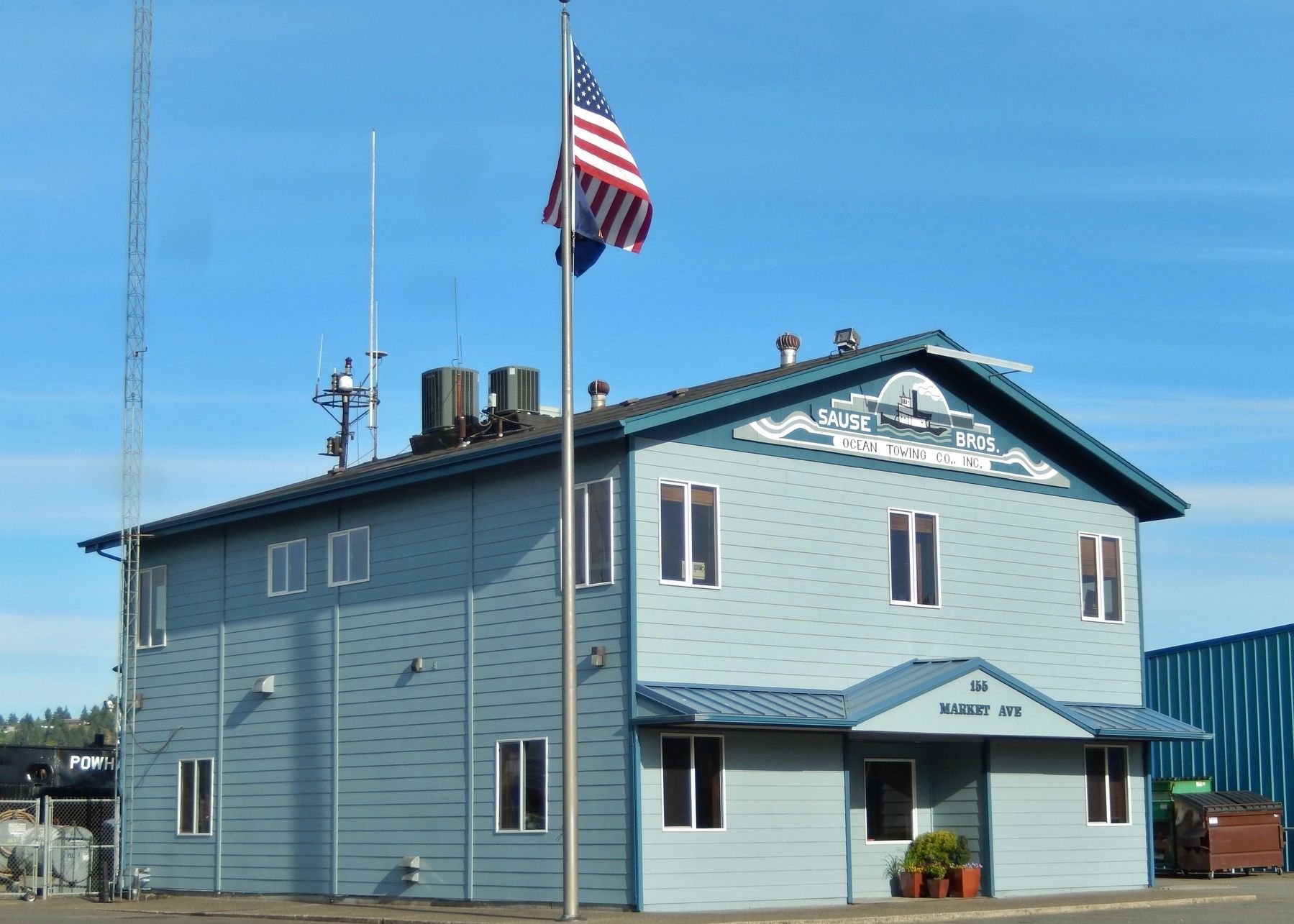
6. Sause Bros. Ocean Towing Company (near marker)
Credits. This page was last revised on April 13, 2021. It was originally submitted on February 18, 2018, by Cosmos Mariner of Cape Canaveral, Florida. This page has been viewed 690 times since then and 57 times this year. Photos: 1, 2, 3, 4, 5, 6. submitted on February 18, 2018, by Cosmos Mariner of Cape Canaveral, Florida. • Andrew Ruppenstein was the editor who published this page.
