Oregon City in Clackamas County, Oregon — The American West (Northwest)
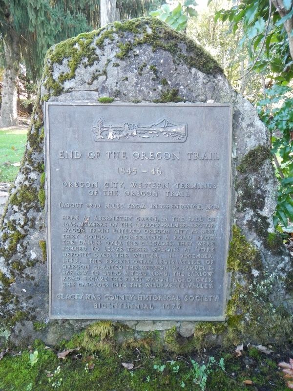
End of the Oregon Trail
1845-46
Photographed by Barry Swackhamer, September 25, 2017
1. End of the Oregon Trail Marker
(about 2200 miles from Independence, MO)
Here at Abernethy Green in the fall of 1845, members of the Barlow-Palmer-Rector Wagon Train entered Oregon City as best they could. Pioneering a road from the Dalles over the Cascades, they were forced to leave their wagons at "Fort Deposit" over the winter. In December 1845, the provisional Legislature of Oregon granted the petition of Samuel K. Barlow to build a toll road. The Barlow Road became the first wagon road over the Cascades into the Willamette Valley.
Erected 1976 by Clackamas County Historical Society.
Topics and series. This historical marker is listed in these topic lists: Roads & Vehicles • Settlements & Settlers. In addition, it is included in the Oregon Trail series list. A significant historical month for this entry is October 1847.
Location. 45° 21.861′ N, 122° 35.753′ W. Marker is in Oregon City, Oregon, in Clackamas County. It can be reached from Washington Street near Abernethy Road, on the right when traveling north. Touch for map. Marker is at or near this postal address: 1726 Washington Street,
this page online

Regionally, this marker is in the Willamette Valley and in Greater Portland Area. It is also on the American Pacific Coast, in the Pacific Northwest, and in the Lewis & Clark Corridor. Globally, it is in North America, in the Cascade Range, on the Ring of Fire, on the Pacific Rim, in the Western Hemisphere, in the Western World, and in the Anglosphere.
Other nearby markers. At least 8 other markers are within walking distance of this marker: Old Oregon Trail (here, next to this marker); Gardens (here, next to this marker); Coyote Creates Willamette Falls (within shouting distance of this marker); a different marker also named Coyote Creates Willamette Falls (within shouting distance of this marker); The Confederate Tribes of Grande Ronde Today (within shouting distance of this marker); Oregon (within shouting distance of this marker); Dr. John McLoughlin (within shouting distance of this marker); To The Banks Of The Willamette (within shouting distance of this marker). Touch for a list and map of all markers in Oregon City.
More about this marker.
Photographed by Barry Swackhamer, September 25, 2017
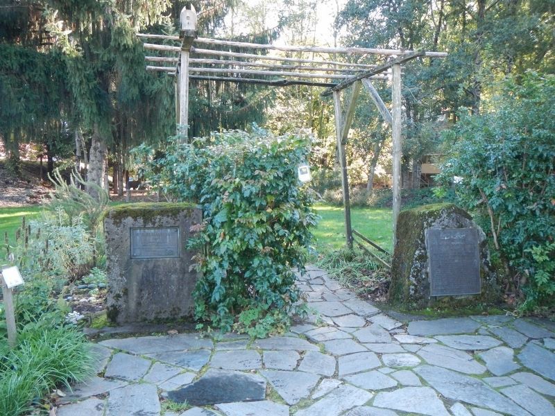
2. End of the Oregon Trail Marker
The marker is on the right.
Photographed by Barry Swackhamer, September 25, 2017
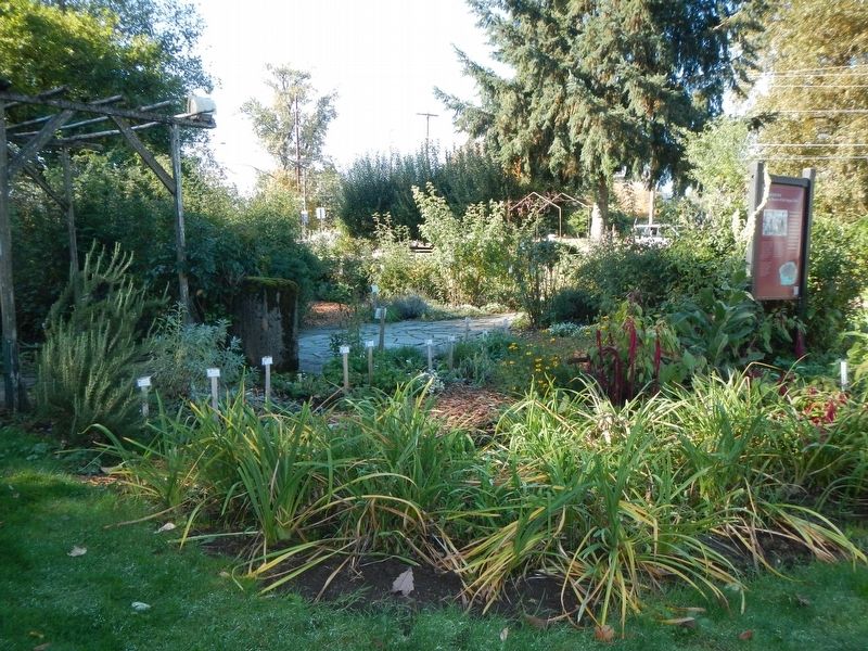
3. End of the Oregon Trail Marker
The marker is at the left.
Credits. This page was last revised on February 18, 2018. It was originally submitted on February 18, 2018, by Barry Swackhamer of Brentwood, California. This page has been viewed 1,242 times since then and 72 times this year. Photos: 1, 2, 3. submitted on February 18, 2018, by Barry Swackhamer of Brentwood, California.
