Oregon City in Clackamas County, Oregon — The American West (Northwest)
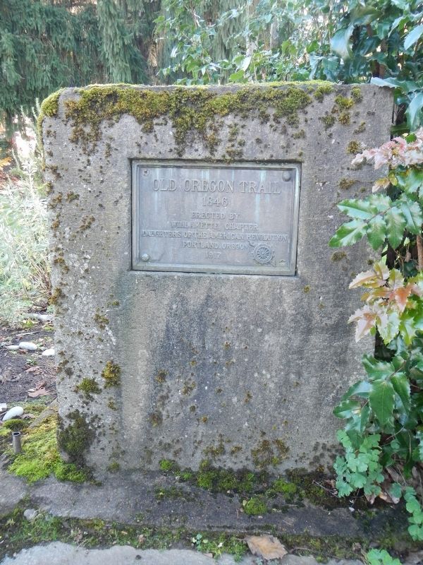
Old Oregon Trail
1846
Photographed by Barry Swackhamer, September 25, 2017
1. Old Oregon Trail Marker
1846
Erected 1917 by Daughters of the American Revolution, Willamette Chapter.
Topics and series. This historical marker is listed in this topic list: Roads & Vehicles. In addition, it is included in the Daughters of the American Revolution (DAR), and the Oregon Trail series lists.
Location. 45° 21.861′ N, 122° 35.753′ W. Marker is in Oregon City, Oregon, in Clackamas County. It can be reached from Washington Street near Abernethy Road, on the right when traveling north. Touch for map. Marker is at or near this postal address: 1726 Washington Street, Oregon City OR 97045, United States of America. Touch for directions.

Regionally, this marker is in the Willamette Valley and in Greater Portland Area. It is also on the American Pacific Coast, in the Pacific Northwest, and in the Lewis & Clark Corridor. Globally, it is in North America, in the Cascade Range, on the Ring of Fire, on the Pacific Rim, in the Western Hemisphere, in the Western World, and in the Anglosphere.
Other nearby markers. At least 8 other markers are within walking
this page online
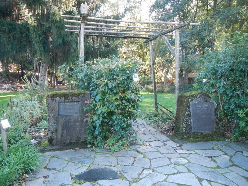
More about this marker. The marker is located in the garden at the western corner of the End of the Oregon Trail Interpretive Center.
Photographed by Barry Swackhamer, September 25, 2017
2. Old Oregon Trail Marker
The marker is on the left.
Credits. This page was last revised on October 22, 2025. It was originally submitted on February 18, 2018, by Barry Swackhamer of Brentwood, California. This page has been viewed 475 times since then and 34 times this year. Photos: 1, 2. submitted on February 18, 2018, by Barry Swackhamer of Brentwood, California.
