Westminster in Carroll County, Maryland — The American Northeast (Mid-Atlantic)
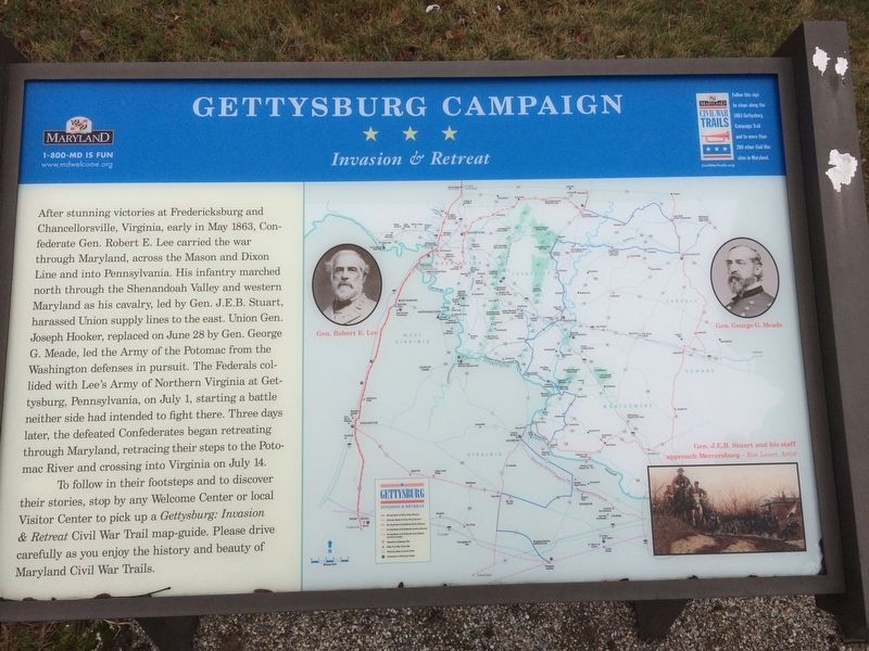
Gettysburg Campaign
Invasion & Retreat
— Maryland Civil War Trails —
After stunning victories at Fredericksburg and Chancellorsville, Virginia, early in May 1863, Confederate Gen. Robert E. Lee carried the war through Maryland, across the Mason and Dixon Line and into Pennsylvania. His infantry marched north through the Shenandoah Valley and western Maryland as his cavalry, led by Gen. J.E.B. Stuart, harassed Union supply lines to the east. Union Gen. Joseph Hooker, replaced on June 28 by Gen. George G. Meade, led the Army of the Potomac from the Washington defenses in pursuit. The Federals collided with Lee's Army of Northern Virginia at Gettysburg, Pennsylvania, on July 1, starting a battle neither side had intended to fight there. Three days later, the defeated Confederates began retreating through Maryland, retracing their steps to the Potomac River and crossing into Virginia on July 14.
To follow in their footsteps and to discover their stories, stop by any Welcome Center or local Visitor Center to pick up a Gettysburg: Invasion & Retreat Civil War map-guide. Please drive carefully as you enjoy the history and beauty of Maryland Civil War Trails.
Erected by Maryland Civil War Trails.
Topics and series. This historical marker is listed in this topic list: War, US Civil. In addition, it is included in the Maryland Civil War Trails series list. A significant historical date for this entry is July 1, 1863.
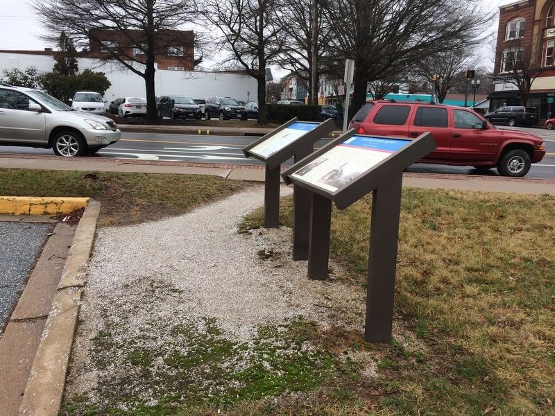
Location. Marker has been permanently removed. It was located near 39° 34.5′ N, 76° 59.773′ W. Marker was in Westminster, Maryland, in Carroll County. Marker was at the intersection of Liberty Street (Maryland Route 27) and East Main Street, on the left when traveling south on Liberty Street. Touch for map. Marker was at or near this postal address: 11 Liberty Street, Westminster MD 21157, United States of America.
We have been informed that this sign or monument is no longer there and will not be replaced. This page is an archival view of what was.
Other nearby markers. At least 8 other markers are within walking distance of this location. Westminster Depot (here, next to this marker); Mayor Joseph L. Mathias (a few steps from this marker); History Is Also Now (about 600 feet away, measured in a direct line); Neal Home (about 700 feet away); The First Complete County Rural Free Delivery Service (approx. 0.2 miles away); The Rosser Raid (approx. 0.2 miles away); Pvt. Jerome L. Day (approx. 0.2 miles away); Gen. Bradley T. Johnson's Raid (approx. 0.2 miles away). Touch for a list and map of all markers in Westminster.
Credits. This page was last revised on November 6, 2023. It was originally submitted on February 25, 2018, by Devry Becker Jones of Washington, District of Columbia. This page has been viewed 303 times since then and 10 times this year. Photos: 1, 2. submitted on February 25, 2018, by Devry Becker Jones of Washington, District of Columbia. • Bernard Fisher was the editor who published this page.

