Westminster in Carroll County, Maryland — The American Northeast (Mid-Atlantic)
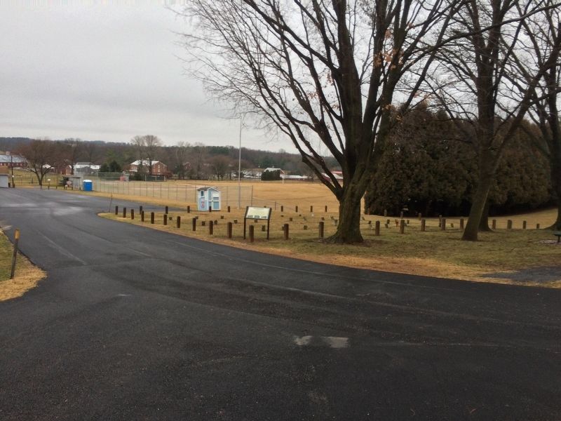
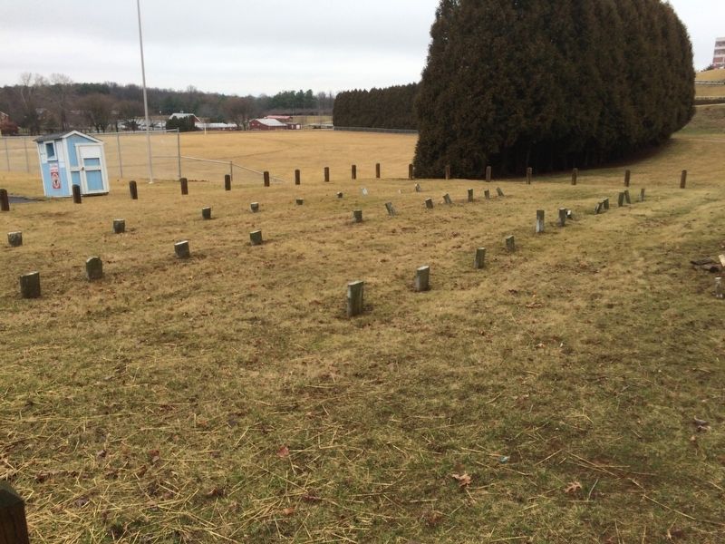
Potters Field
1850-1960s
In 1852, the County Commissioners purchased 307 acres on the outskirts of Westminster at a cost of $17,826 and constructed a poorhouse, also called the "Almshouse", and the first residents moved in on May 23, 1853.
The Almshouse was essential to the survival of those poor and down on their luck. It housed county residents, hobos and tramps who could count on getting a meal and temporary lodging. Occasionally, criminals and the insane were also in residence. Those able to do farm work helped raise food for themselves.
A salaried steward, who oversaw the operation and his family, lived on the second floor of the Almshouse, women residents lived on the third floor and there was a men's dormitory as well.
This area called Potters Field, a common name of a public burial ground for poor or unidentified people, served as the cemetery for the Almshouse, which served the indigent until June 30, 1965 when it closed it's doors forever. The official opening of the Carroll County Farm Museum took place on August 13, 1966.
Topics. This historical marker is listed in these topic lists: Cemeteries & Burial Sites • Charity & Public Work. A significant historical year for this entry is 1837.
Location. 39° 33.329′ N, 76° 59.56′ W. Marker is in Westminster, Maryland, in Carroll County. Marker can be reached from Gist Road west of South Center Street. On the grounds of Landon C. Burns Park. Touch for map. Marker is at or near this postal address: 555 South Center Street, Westminster MD 21157, United States of America. Touch for directions.
Other nearby markers. At least 8 other markers are within walking distance of this marker. Landon C. Burns (about 400 feet away, measured in a direct line); In Memory of All American Veterans (approx. 0.2 miles away); World War II Veterans Memorial (approx. 0.2 miles away); World War I and World War II Memorial (approx. 0.2 miles away); Wormseed Oil Growing & Harvesting (approx. 0.2 miles away); 1930s Farm F12 Tractor (approx. 0.2 miles away); Edwin E. Magin (approx. 0.2 miles away); In Honor of the Day Family (approx. 0.2 miles away). Touch for a list and map of all markers in Westminster.
Credits. This page was last revised on March 18, 2019. It was originally submitted on February 25, 2018, by Devry Becker Jones of Washington, District of Columbia. This page has been viewed 614 times since then and 64 times this year. Photos: 1, 2, 3. submitted on February 25, 2018, by Devry Becker Jones of Washington, District of Columbia. • Bill Pfingsten was the editor who published this page.


