University District in Columbus in Franklin County, Ohio — The American Midwest (Great Lakes)
The Underground Railroad on University Land
1 of 5
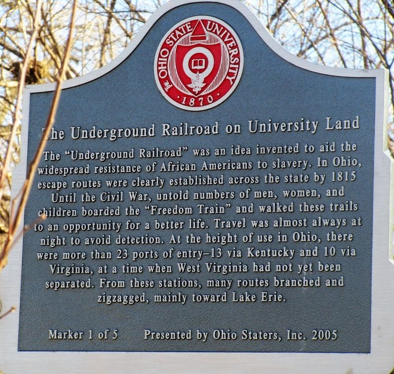
Photographed by Rev. Ronald Irick, February 27, 2018
1. The Underground Railroad on University Land Marker
Erected 2005 by Ohio Staters, Inc. (Marker Number 1 of 5.)
Topics. This historical marker is listed in these topic lists: Abolition & Underground RR • African Americans.
Location. 39° 59.848′ N, 83° 1.385′ W. Marker is in Columbus, Ohio, in Franklin County. It is in the University District. It can be reached from Cannon Drive near John H. Herrick Dr. marker is on the Olentangy Trail Bikepath at the southwest of
this page online

Regionally, this marker is in Ohio’s Scioto Valley. It is also in the American Midwest and in the Corn Belt. Globally, it is in North America, the Western Hemisphere, the Western World, and the Anglosphere. Historically, it finds itself in what was once the Haudenosaunee (Iroquois) Confederacy, the territory of the Mississippian Culture, and the Northwest Territory.
Other nearby markers. At least 8 other markers are within walking distance of this marker: A different marker also named The Underground Railroad on University Land (approx. ¼ mile away); Recreation and Physical Activity Center Solar Array (approx. ¼ mile away); Stadium Scholarship Dormitory (approx. 0.3 miles away); Zero Waste (approx. 0.3 miles away); Ohio Farm Bureau Founded (approx. 0.4 miles away); Ohio Stadium Centennial (approx. 0.4 miles away); for Strength, for OHIO." (approx. 0.4 miles away); NECKO Neighborhood / E. J. McMillen Homestead Addition (approx.
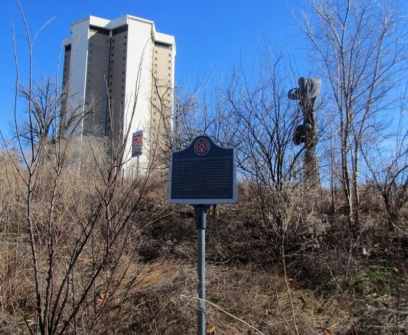
Photographed by Rev. Ronald Irick, February 27, 2018
2. The Underground Railroad on University Land Marker
full view from Bike Trail on the Olentangy River
Additional keywords. Underground Railroad
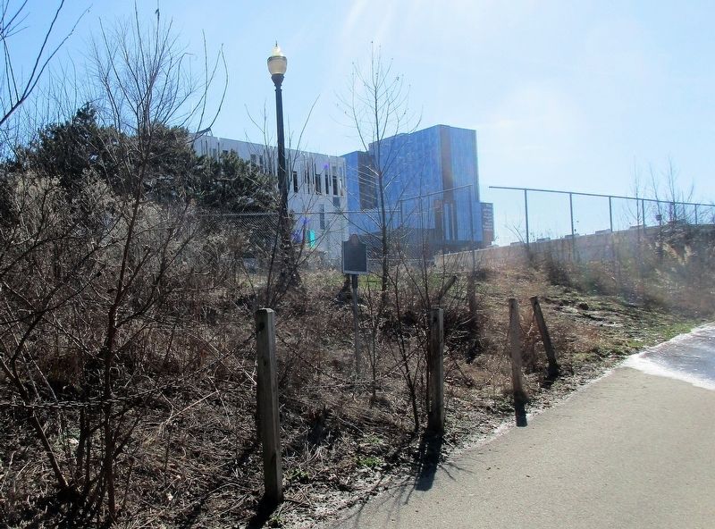
Photographed by Rev. Ronald Irick, February 27, 2018
3. The Underground Railroad on University Land Marker
marker as seen from a distance, approaching from the north, on the bikepath
Credits. This page was last revised on February 3, 2023. It was originally submitted on February 27, 2018, by Rev. Ronald Irick of West Liberty, Ohio. This page has been viewed 544 times since then and 19 times this year. Photos: 1, 2, 3. submitted on February 27, 2018, by Rev. Ronald Irick of West Liberty, Ohio. • Bill Pfingsten was the editor who published this page.
