University District in Columbus in Franklin County, Ohio — The American Midwest (Great Lakes)
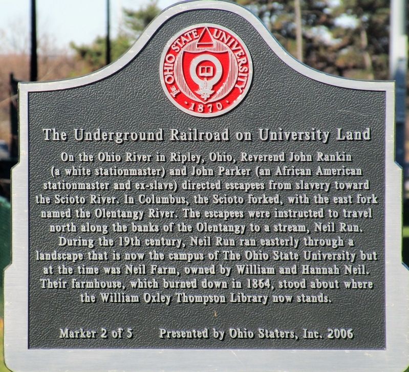
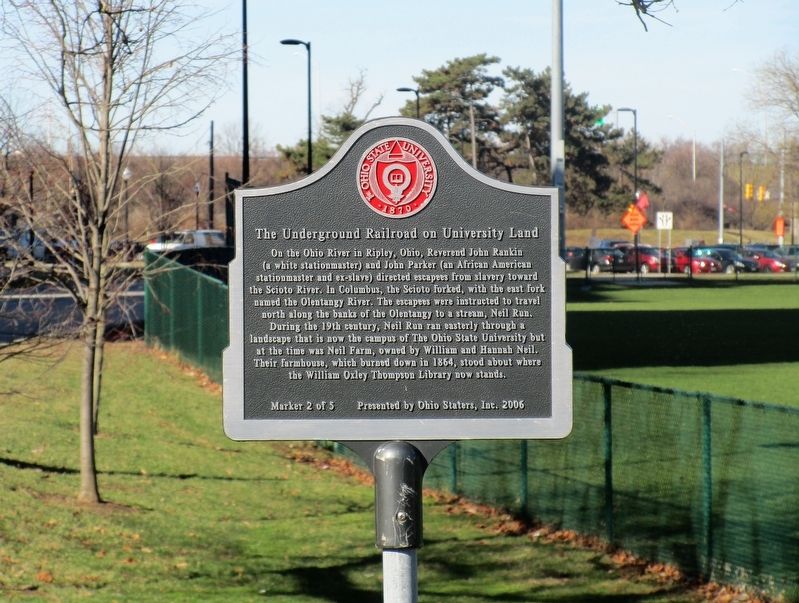
The Underground Railroad on University Land
2 of 5
Inscription.
On the Ohio River in Ripley, Ohio, Reverend John Rankin
(a white stationmaster) and John Parker (an African American
stationmaster and ex-slave) directed escapees from slavery toward
the Scioto River. In Columbus, the Scioto forked, with the east fork
named the Olentangy River. The escapees were instructed to travel
north along the banks of the Olentangy to a stream, Neil Run.
During the 19th century, Neil Run ran easterly through a
landscape that is now the campus of The Ohio State University but
at the time was the Neil Farm, owned by William and Hannah Neil.
Their farmhouse, which burned down in 1864, stood about where
the William Oxley Thompson Library now stands.
Erected 2006 by Ohio Staters, Inc. (Marker Number 2 of 5.)
Topics. This historical marker is listed in these topic lists: Abolition & Underground RR • African Americans.
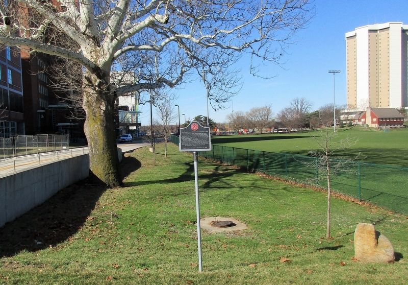
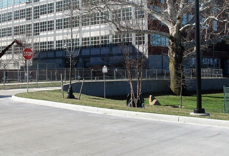
Location. 39° 59.83′ N, 83° 1.129′ W. Marker is in Columbus, Ohio, in Franklin County. It is in the University District. Marker is on John H. Herrick Dr, on the right when traveling west. Marker is in the southeast corner of the Lincoln Tower Park on the campus of the Ohio State University. Touch for map. Marker is at or near this postal address: 425 John H Herrick Dr, Columbus OH 43210, United States of America. Touch for directions.
Other nearby markers. At least 8 other markers are within walking distance of this marker. Ohio Farm Bureau Founded (approx. 0.2 miles away); Zero Waste (approx. ¼ mile away); a different marker also named The Underground Railroad on University Land (approx. ¼ mile away); Neil Avenue Gate (approx. ¼ mile away); a different marker also named The Underground Railroad on University Land (approx. ¼ mile away); The Ohio State University (approx. ¼ mile away); Browning Amphitheatre / The Outdoor Performance Center (approx. 0.3 miles away); Stadium Scholarship Dormitory (approx. 0.3 miles away). Touch for a list and map of all markers in Columbus.
Additional keywords. Underground Railroad
Credits. This page was last revised on February 3, 2023. It was originally submitted on February 27, 2018, by Rev. Ronald Irick of West Liberty, Ohio. This page has been viewed 443 times since then and 62 times this year. Photos: 1, 2, 3, 4. submitted on February 27, 2018, by Rev. Ronald Irick of West Liberty, Ohio. • Bill Pfingsten was the editor who published this page.


