Magee in Simpson County, Mississippi — The American South (East South Central)
Magee - McNair Springs
| — | Simpson County Heritage Trail | — |
Photographed by Mark Hilton, December 2, 2017
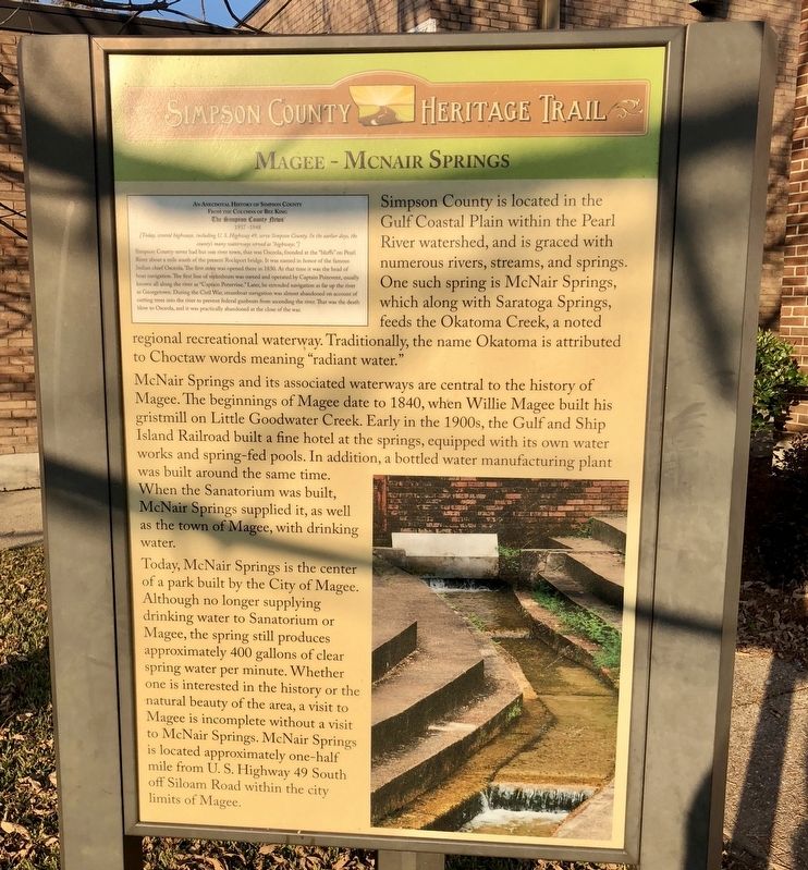
1. Magee - McNair Springs Marker
McNair Springs and its associated waterways are central to the history of Magee. The beginnings of Magee date to 1840, when Willie Magee built his gristmill on Little Goodwater Creek. Early in the 1900s, the Gulf and Ship Island Railroad built a fine hotel at the springs, equipped with its own water works and spring-fed pools. In addition, a bottled water manufacturing plant was built around the same time. When the Sanatorium was built, McNair Springs supplied it, as well as the town of Magee, with drinking water.
Today, McNair Springs is the center of a park built by the City of Magee. Although no longer supplying drinking water to Sanatorium or Magee, the spring still produces approximately 400 gallons of clear
this page online
Inset
From the Columns of Bee King
The Simpson County News
1937-1948
[Today, several highways, including U. S. Highway 49, serve Simpson County. In the earlier days, the county's many waterways served as "highways."]
Erected by the
Photographed by Mark Hilton, December 2, 2017
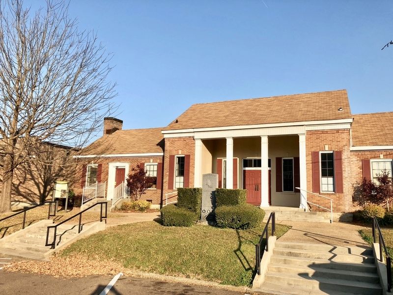
2. Magee - McNair Springs Marker on left of the Community House.
Topics. This historical marker is listed in these topic lists: Railroads & Streetcars • Settlements & Settlers • Waterways & Vessels. A significant historical year for this entry is 1840.
Location. 31° 52.432′ N, 89° 44.007′ W. Marker is in Magee, Mississippi, in Simpson County. It is on 1st Avenue NW north of Choctaw Street, on the right when traveling north. Located in front of the Magee Community House. Touch for map. Marker is at or near this postal address: 115 1st Avenue NW, Magee MS 39111, United States of America. Touch for directions.

Regionally, this marker is in Natchez Trace Corridor and in Greater Jackson. It is also in the American South and specifically in the Deep South. Globally, it is in North America, a Gulf of Mexico state, the Western Hemisphere, the Western World, and the Anglosphere. Historically, it finds itself in what was once the territory of the Mississippian Culture, one of the Confederate States of America, and the Antebellum South.
Other nearby markers. At least 7 other markers are within 13 miles of this marker, measured as the crow flies:
Photographed by Mark Hilton, December 2, 2017
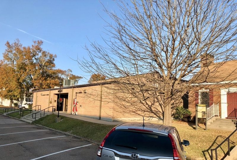
3. Magee - McNair Springs marker on right with the Chamber of Commerce beyond it.
Photographed by Mark Hilton, December 2, 2017
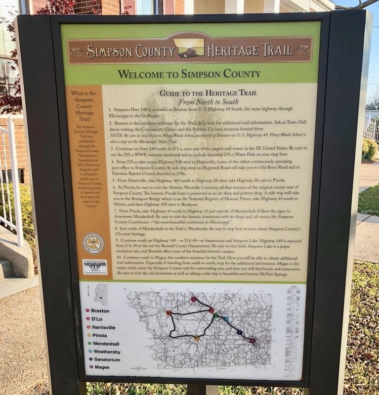
4. Guide to the Simpson County Heritage Trail and provides directions & map.
Credits. This page was last revised on February 28, 2018. It was originally submitted on February 28, 2018, by Mark Hilton of Montgomery, Alabama. This page has been viewed 4,861 times since then and 230 times this year. Photos: 1, 2, 3, 4. submitted on February 28, 2018, by Mark Hilton of Montgomery, Alabama.
