Gaylesville in Cherokee County, Alabama — The American South (East South Central)
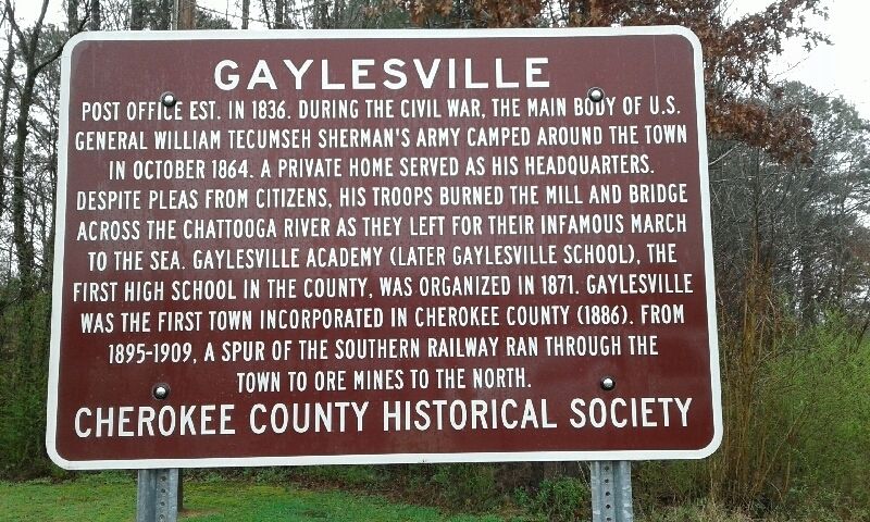
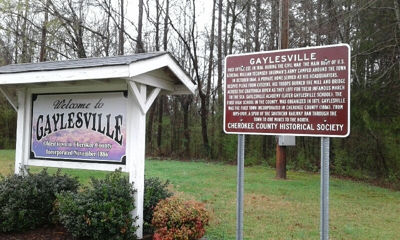
Gaylesville
Erected by Cherokee County Historical Society.
Topics. This historical marker is listed in these topic lists: Education • Railroads & Streetcars • Settlements & Settlers • War, US Civil. A significant historical year for this entry is 1836.
Location. 34° 15.867′ N, 85° 33.667′ W. Marker is in Gaylesville, Alabama, in Cherokee County. Marker is at the intersection of Canyon Drive (Alabama Route 35) and Main Street (Alabama Route 68), on the right when traveling south on Canyon Drive. Located on the grounds of the Gaylesville Fire Department. Touch for map. Marker is at or near this postal address: 4740 Main Street, Gaylesville AL 35973, United States of America. Touch for directions.
Other nearby markers. At least 8 other markers are within 3 miles of this marker, measured as the crow flies. Chattooga River (within shouting distance of this marker); Occupation of Gaylesville (approx. ¼ mile away); Cherokee County Veterans Memorial (approx. 2 miles away); Cornwall Furnace Memorial Park (approx. 2 miles away); Cornwall Furnace (approx. 2 miles away); a different marker also named Cornwall Furnace (approx. 2 miles away); Long Shadows House (approx. 2.1 miles away); Gen. N.B. Forrest Captured Col. A.D. Streight (approx. 2.4 miles away). Touch for a list and map of all markers in Gaylesville.
Credits. This page was last revised on March 2, 2018. It was originally submitted on March 2, 2018, by Angela Nichols of Centre, Alabama. This page has been viewed 932 times since then and 60 times this year. Photos: 1, 2. submitted on March 2, 2018, by Angela Nichols of Centre, Alabama. • Bernard Fisher was the editor who published this page.

