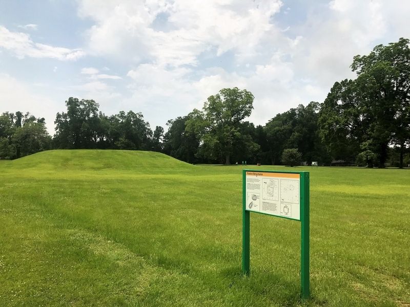
Native Structures

In 1972, archaeologists found evidence of several Natchez Indian houses in this area. In some cases, house floors were superimposed on one another indicating repeated use of these locations.
The excavations revealed two different types of houses at the Grand Village. For some houses, the Natchez set the vertical wall posts in individual post holes, while other houses made use of wall trenches. In wall-trench houses, the builders set the wall posts into shallow trenches that outline the building's floor plan.
An unsolved mystery: For unknown reasons, the Natchez laid out some of the houses square with the cardinal directions – walls aligned north-south and east- west. Other house plans are angled 30° east of north. These two alignments are also seen in the layout of mounds B and C. Mound B is square with the cardinal directions while Mound C is angled like some of the house floors.
Topics. This historical marker is listed in this topic list: Indigenous Peoples and Communities.
Location. 31° 31.449′ N, 91° 22.757′ W. Marker is in Natchez, Mississippi, in Adams County.
this page online

Regionally, this marker is in Southwest Mississippi and in Natchez Trace Corridor. It is also in the American South, specifically in the Deep South, and in the Great River Road Region. Globally, it is in North America, a Gulf of Mexico state, the Western Hemisphere, the Western World, and the Anglosphere. Historically, it finds itself in what was once New Spain, the Viceroyalty of New France, the territory of the Mississippian Culture, one of the Confederate States of America, and the Antebellum South.
Other nearby markers. At least 8 other markers are within walking distance of this marker: Historic Plaza (here, next to this marker); Road to Fort Rosalie (within shouting distance of this marker); Ceremonial Center (within shouting distance of this marker); Abandoned Mound (about 300 feet away, measured in a direct line); Historical Archaeology - the Chief's House and Temple
More about this marker. Located on the grounds of the Historic Grand Village of the Natchez site.
Credits. This page was last revised on June 24, 2024. It was originally submitted on March 6, 2018, by Cajun Scrambler of Assumption, Louisiana. This page has been viewed 456 times since then and 25 times this year. Photos: 1, 2. submitted on March 6, 2018.
