
Memphis in Shelby County, Tennessee — The American South (East South Central)
Tennessee River/Cumberland River
Photographed by Sandra Hughes, May 18, 2010
1. Tennessee River/Cumberland River Marker
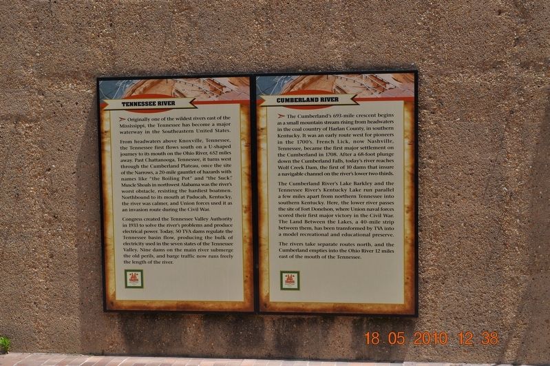
Tennessee River
Originally one of the wildest rivers east of the Mississippi, the Tennessee has become a major waterway in the southeastern United States.
From headwaters above Knoxville, Tennessee the Tennessee first flows south on a U-shaped journey to its mouth on the Ohio River, 652 miles away. Past Chattanooga, Tennessee, it turns west through the Cumberland Plateau, once the site of the Narrows, a 20-mile gauntlet of hazards with names like “the Boiling Pot” and “the Suck”. Muscle Shoals in northwest Alabama was the river’s worst obstacle, resisting the hardiest boatmen. Northbound to its mouth at Paducah, Kentucky, the river was calmer, and Union forces used it as an invasion route during the Civil War.
Congress created the Tennessee Valley Authority in 1933 to solve the river’s problems and produce electrical power. Today, 50 TVA dams regulate the Tennessee basin flow, producing the bulk of the electricity used in the seven states of the Tennessee Valley. Nine dams on the main river submerge the old perils, and barge traffic now runs freely the length of the river.
Cumberland River
The Cumberland’s
this page online
The Cumberland River’s Lake Barkley and the Tennessee River’s Kentucky Lake run parallel a few miles apart from northern Tennessee into southern Kentucky. Here, the lower river passes the site of Fort Donelson, where Union naval forces scored their first major victory in the Civil War. The Land Between the Lakes, a 40 mile strip between them, has been transformed by TVA into a model recreational and educational preserve.
The rivers take separate routes north, and the Cumberland empties into the Ohio River 12 miles east of the mouth of Tennessee.
Erected by Mud Island River Park.
Topics. This historical marker is listed in these topic lists: Settlements & Settlers
Photographed by Sandra Hughes, May 18, 2010
2. Tennessee River/Cumberland River Marker
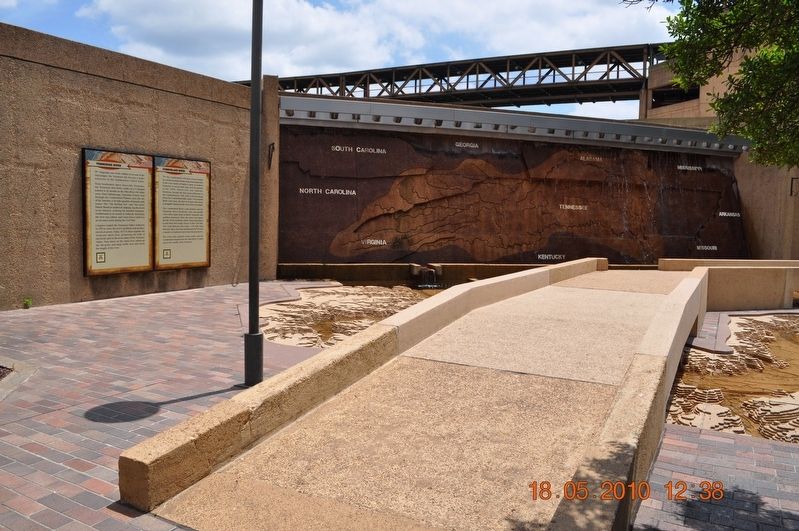
Location. 35° 8.997′ N, 90° 3.465′ W. Marker is in Memphis, Tennessee, in Shelby County. It can be reached from Island Drive 0.8 miles south of West A.W. Willis Avenue when traveling south. Located in Mud Island Park. Touch for map. Marker is at or near this postal address: 125 N Front Street, Memphis TN 38103, United States of America. Touch for directions.

Regionally, this marker is in West Tennessee. It is also in the American South, specifically in the Deep South, in the Upper South, in the Mississippi Delta, and in the Great River Road Region. Globally, it is in North America, the Western Hemisphere, the Western World, and the Anglosphere. Historically, it finds itself in what was once the territory of the Mississippian Culture, one of the Confederate States of America, and the Antebellum South.
Other nearby markers. At least 8 other markers are within walking distance of this marker: Islands No. 2, 3, and 4 / Fort Jefferson, Kentucky / Bird’s Point, Missouri (within shouting distance of this marker); Cairo, Illinois (within shouting distance of this marker); Island No. 5 (Wolf Island)/Belmont, Missouri/Columbus, Kentucky (within shouting distance of this marker); Donaldson Point, Missouri/Island No. 8/Hickman, Kentucky/Dorena Crevasse (within shouting distance of this marker); New Madrid, Missouri/Cates Casting Field/Island No. 10 (within shouting distance of this marker); Reelfoot Lake (within shouting distance of this marker); Tiptonville, Tennessee/Bixby Towhead (about 300 feet away, measured in a direct line); Ohio River (about 300 feet away). Touch for a list and map of all markers in Memphis.
Credits. This page was last revised on August 13, 2024. It was originally submitted on March 8, 2018, by Sandra Hughes Tidwell of Killen, Alabama, USA. This page has been viewed 673 times since then and 78 times this year. Photos: 1, 2. submitted on March 8, 2018, by Sandra Hughes Tidwell of Killen, Alabama, USA. • Bernard Fisher was the editor who published this page.
