Port Mayaca in Martin County, Florida — The American South (South Atlantic)
Hurricane of 1928 Mass Burial Site
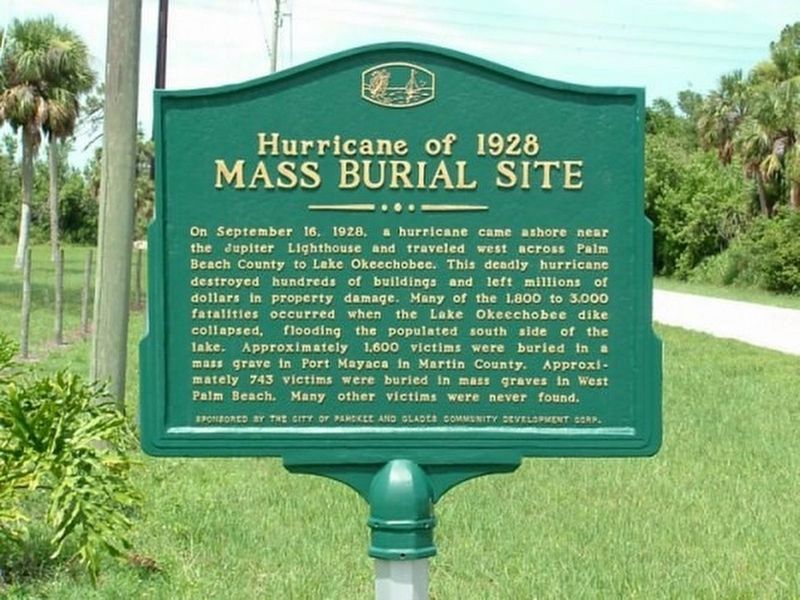
1. Hurricane of 1928 Mass Burial Site Marker
Erected by City of Pahokee and Glades Community Development Corp.
Topics. This historical marker is listed in these topic lists: Cemeteries & Burial Sites • Disasters. A significant historical date for this entry is September 16, 1928.
Location. 26° 59.737′ N, 80° 34.916′ W. Marker is in Port Mayaca, Florida, in Martin County. It is on SW Kanner Highway (State Road 76) 2.3 miles east of U.S. 98/441, on the right when traveling east. Touch for map. Marker is at or near this postal address: 23900 SW Kanner Hwy, Canal Point FL 33438, United States of America. Touch for directions.

Regionally,
this page online
Other nearby markers. At least 2 other markers are within 10 miles of this marker, measured as the crow flies: Betty Mae Tiger Jumper (approx. 7.2 miles away); Conners’ Toll Highway (approx. 9.4 miles away).
Another marker is no longer nearby. Jupiter Indiantown Road (was approx. 8.6 miles away but has been confirmed missing).
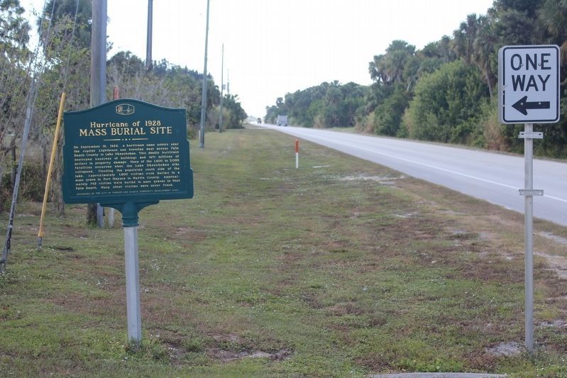
Photographed by Tim Fillmon, October 30, 2018
2. Hurricane of 1928 Mass Burial Site Marker at cemetery entrance
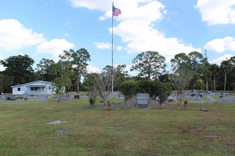
Photographed by Tim Fillmon, October 30, 2018
3. Hurricane of 1928 Mass Burial Site
Credits. This page was last revised on April 10, 2019. It was originally submitted on March 10, 2018, by Daniel Eisenberg of Boca Raton, Florida. This page has been viewed 2,704 times since then and 155 times this year. Photos: 1. submitted on March 10, 2018, by Daniel Eisenberg of Boca Raton, Florida. 2, 3. submitted on April 9, 2019, by Tim Fillmon of Webster, Florida. • Bernard Fisher was the editor who published this page.
