Annapolis in Anne Arundel County, Maryland — The American Northeast (Mid-Atlantic)
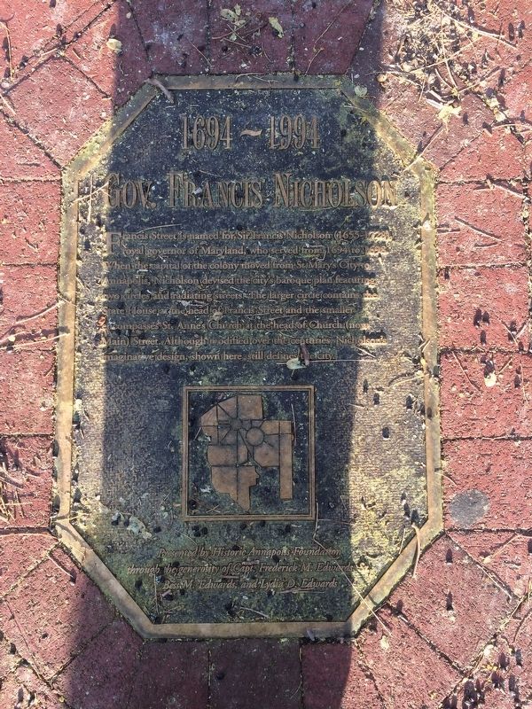
Gov. Francis Nicholson
1694-1994
Erected 1994 by Historic Annapolis Foundation through the generosity of Capt. Frederick M. Edwards, Bess M. Edwards, and Lydia D. Edwards.
Topics. This historical marker is listed in these topic lists: Colonial Era • Government & Politics • Roads & Vehicles • Settlements & Settlers. A significant historical year for this entry is 1694.
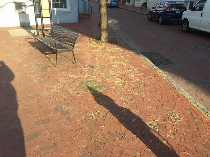
Location. 38° 58.663′ N, 76° 29.364′ W. Marker is in Annapolis, Maryland, in Anne Arundel County. Marker can be reached from the intersection of Main Street and Francis Street, on the left when traveling east. Marker is embedded in the sidewalk. Touch for map. Marker is at or near this postal address: 153 Main St, Annapolis MD 21401, United States of America. Touch for directions.
Other nearby markers. At least 8 other markers are within walking distance of this marker. Planned in the Past (a few steps from this marker); Framework of History (a few steps from this marker); 159 Main Street (a few steps from this marker); 163 Main Street (within shouting distance of this marker); 167 Main Street at Conduit Street (within shouting distance of this marker); 41 Cornhill Street (within shouting distance of this marker); Mann's Tavern (about 300 feet away, measured in a direct line); Cornhill & Fleet Streets (about 400 feet away). Touch for a list and map of all markers in Annapolis.
Credits. This page was last revised on September 21, 2023. It was originally submitted on March 10, 2018, by Devry Becker Jones of Washington, District of Columbia. This page has been viewed 412 times since then and 36 times this year. Photos: 1, 2. submitted on March 10, 2018, by Devry Becker Jones of Washington, District of Columbia. • Bill Pfingsten was the editor who published this page.

