Civil War
Louisiana's Role in the War
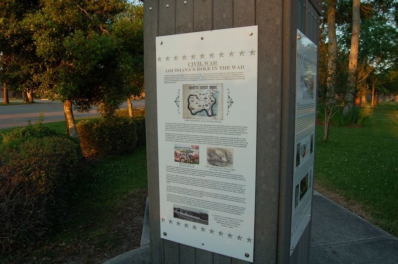
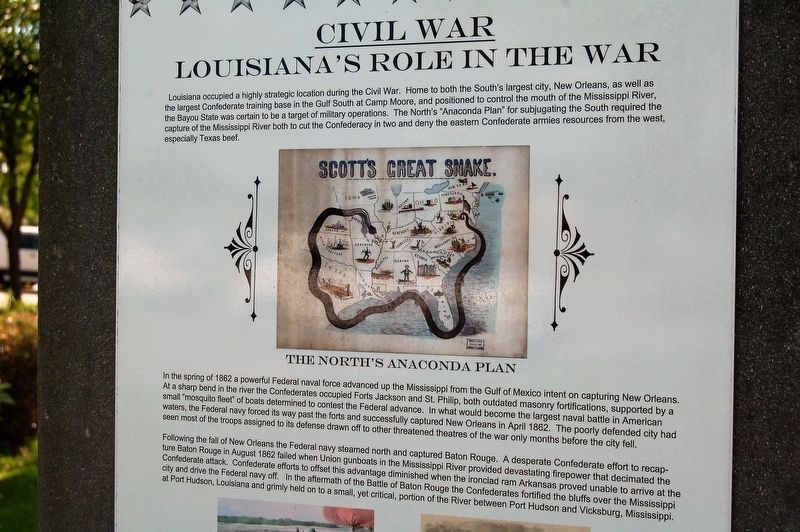
Louisiana occupied a highly strategic location during the Civil War. Home to both the South's largest city, New Orleans, as well as the largest Confederate training base in the Gulf South at Camp Moore, and positioned to control the mouth of the Mississippi River, the Bayou State was certain to be a target of military operations. The North's “Anaconda Plan” for subjugating the South required the capture of the Mississippi River both to cut the Confederacy in two and deny the eastern Confederate armies resources from the west, especially Texas beef.
In the spring of 1862 a powerful Federal naval force advanced up the Mississippi from the Gulf of Mexico intent on capturing New Orleans. At a sharp bend in the river the Confederates occupied Forts Jackson and St. Philip, both outdated masonry fortifications, supported by a small “mosquito fleet” of boats determined to contest the Federal advance. In what would become the largest naval battle in American waters, the Federal navy forced its way past the forts and successfully captured New Orleans in April 1862. The poorly defended city had seen most of the troops assigned to its defense drawn off to other threatened theaters of the war only months before the city fell.
Following the fall of New Orleans the Federal navy steamed north and captured Baton Rouge.
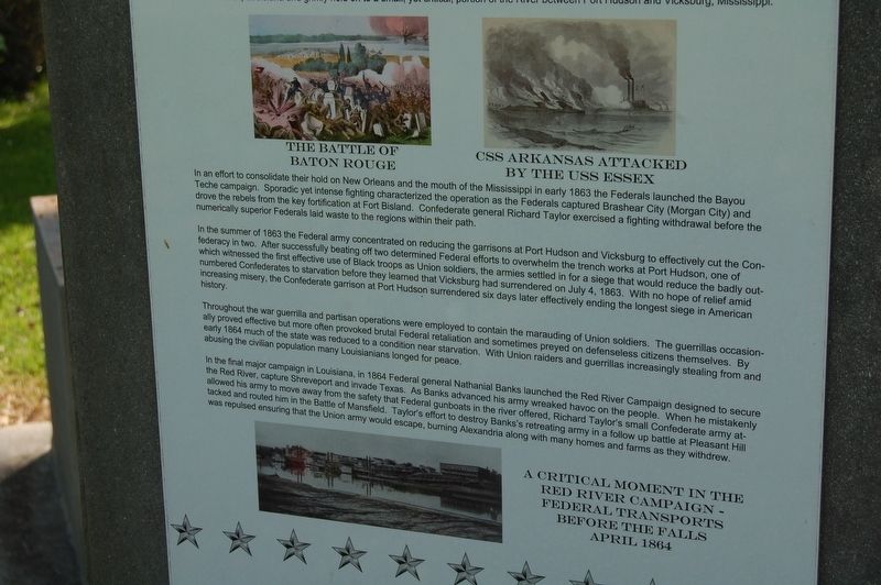
A desperate Confederate effort to recapture Baton Rouge in August 1862 failed when Union gunboats in the Mississippi River provided devastating firepower that decimated the Confederate attack. Confederate efforts to offset this advantage diminished when the ironclad ram Arkansas proved unable to arrive at the city and drive the Federal navy off. In the aftermath of the Battle of Baton Rouge the Confederates fortified the bluffs over the Mississippi at Port Hudson, Louisiana and grimly held on to a small, yet critical, portion of the River between Port Hudson and Vicksburg, Mississippi.Topics. This memorial is listed in this topic list: War, US Civil.
Location. 30° 13.71′ N, 90° 54.801′ W. Marker is in Gonzales, Louisiana, in Ascension Parish. Memorial can be reached from South Irma Boulevard north of East Worthey Street, on the right when traveling north. Touch for map. Marker is in this post office area: Gonzales LA 70737, United States of America. Touch for directions.
Other nearby markers. At least 8 other markers are within walking distance of this marker. A different marker also named Civil War (here, next to this marker); a different marker also named Civil War (here, next to this marker); a different marker also named The Civil War (here, next to this marker); World War I (a few steps from this marker); "The War to End War" (a few steps from this marker); A View From The Trenches: A Doughboy From Donaldsonville Writes Home (a few steps from this marker); The Freedom Fountain (a few steps from this marker); The Mexican-American War (within shouting distance of this marker). Touch for a list and map of all markers in Gonzales.
More about this marker. Located in the Gonzales Veterans Memorial Park.
Credits. This page was last revised on February 24, 2024. It was originally submitted on March 11, 2018, by Cajun Scrambler of Assumption, Louisiana. This page has been viewed 439 times since then and 25 times this year. Photos: 1, 2, 3, 4. submitted on March 11, 2018.


