Ciudad Colonial in Santo Domingo, Distrito Nacional, Dominican Republic — Caribbean Region of the Americas (Hispaniola, Greater Antilles, West Indies)
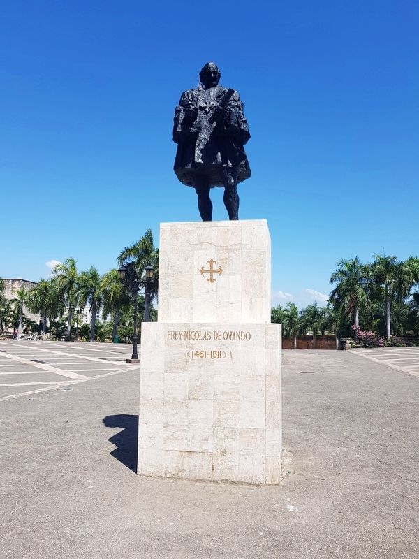
Nicolás de Ovando
(1451-1511)
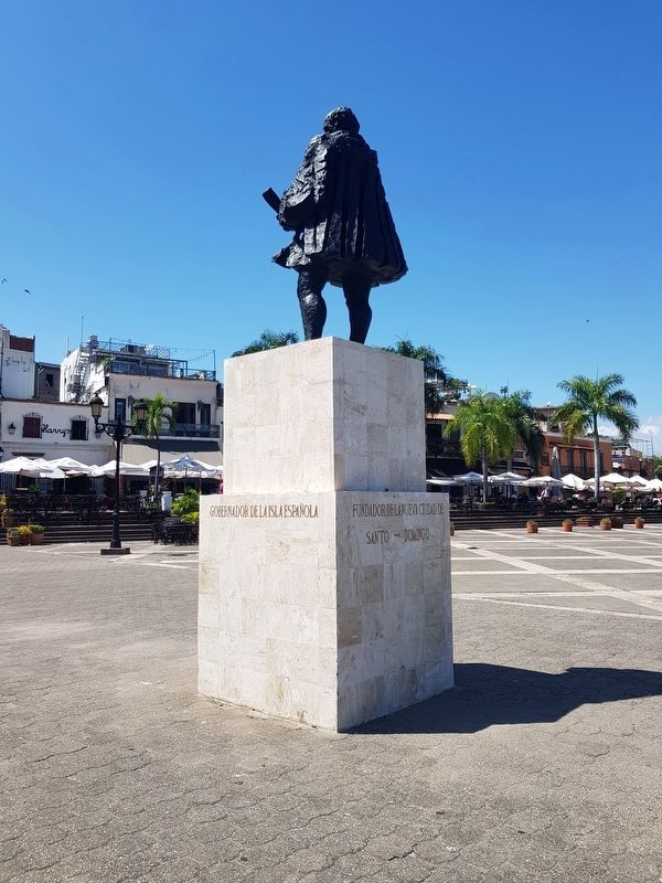
Gobernador de la isla Española
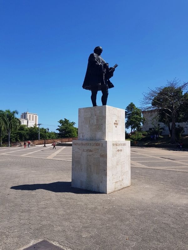
Comendador Mayor de la Orden de Alcantara
Fundador de la Nueva Ciudad de Santo-Domingo
(1451-1511),
Governor of the island of Hispaniola
Commander Major of the Order of Alcántara
Founder of the new city of Santo Domingo
Topics. This historical marker is listed in these topic lists: Colonial Era • Government & Politics • Military • Settlements & Settlers.
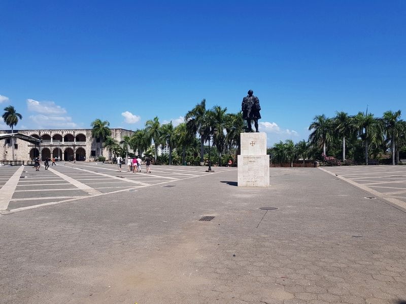
Location. 18° 28.603′ N, 69° 53.001′ W. Marker is in Ciudad Colonial, Distrito Nacional, in Santo Domingo. Marker can be reached from Calle Emiliano Tejera just west of Calle Isabela Católica, on the left when traveling east. The marker and monument are roughly in the middle of the Plaza de la Hispanidad in the colonial center of Santo Domingo. Touch for map. Marker is in this post office area: Ciudad Colonial, Distrito Nacional 10212, Dominican Republic. Touch for directions.
Other nearby markers. At least 8 other markers are within walking distance of this marker. 1505 Colonial House (within shouting distance of this marker); The Colonial City of Santo Domingo (within shouting distance of this marker); Casa del Cordón (within shouting distance of this marker); Plaza de los Contadores (within shouting distance of this marker); Palace of the Governors (within shouting distance of this marker); a different marker also named Casa del Cordón (about 90 meters away, measured in a direct line); 16th Century House (about 90 meters away); Palace of the Viceroy Diego Colón (about 90 meters away). Touch for a list and map of all markers in Ciudad Colonial.
Also see . . . Nicolás Ovando y Cáceres. Frey Nicolás de Ovando y Cáceres (Brozas, Extremadura, Spain 1460 – Madrid, Spain 29 May 1511) was a Spanish soldier from a noble family and a Knight of the Order of Alcántara, a military order of Spain. He was Governor of the Indies (Hispaniola) from 1502 until 1509, sent by the Spanish crown to investigate the administration of Francisco de Bobadilla and re-establish order. His administration subdued rebellious Spaniards, and completed the brutal "pacification" of the native Taíno population of Hispaniola. From Wikipedia (Submitted on March 11, 2018, by J. Makali Bruton of Accra, Ghana.)
Credits. This page was last revised on July 30, 2018. It was originally submitted on March 11, 2018, by J. Makali Bruton of Accra, Ghana. This page has been viewed 302 times since then and 38 times this year. Photos: 1, 2, 3, 4. submitted on March 11, 2018, by J. Makali Bruton of Accra, Ghana.


