Belle Glade in Palm Beach County, Florida — The American South (South Atlantic)
Everglades Research
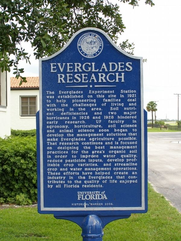
May 27, 2008
1. Everglades Research
Erected 2008 by University of Florida.
Topics. This historical marker is listed in these topic lists: Agriculture • Disasters • Education • Horticulture & Forestry. A significant historical year for this entry is 1921.
Location. 26° 40.052′ N, 80° 37.931′ W. Marker is in Belle Glade, Florida, in Palm Beach County. It can
this page online

Regionally, this marker is in South Florida, on the Gold Coast, on the Treasure Coast, and in Greater Miami. It is also in the American South and on the Eastern Seaboard. Globally, it is in the North Atlantic Region, North America, a Gulf of Mexico state, the Western Hemisphere, the Western World, and the Anglosphere. Historically, it finds itself in what was once New Spain, the territory of the Mississippian Culture, one of the Confederate States of America, and the Antebellum South.
Other nearby markers. At least 3 other markers are within 14 miles of this marker, measured as the crow flies: Belle Glade 1928 (approx. 2½ miles away); Lake Shore High School (approx. 3.1 miles away); Conners’ Toll Highway (approx. 13.7 miles away).
Regarding Everglades Research. Has had several names: Everglades Experiment Station (1921-1971), Agricultural Research & Education Center
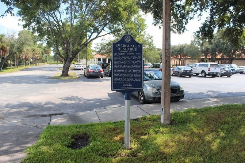
Photographed by Tim Fillmon, October 30, 2018
2. Everglades Research Marker looking west
Additional keywords. Okeechobee, muck, Pahokee, Clewiston, dike, drainage, sugar cane
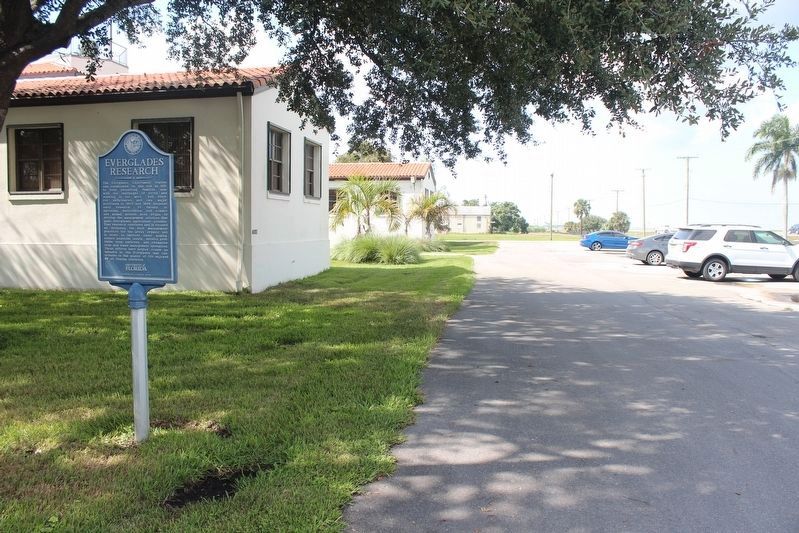
Photographed by Tim Fillmon, October 30, 2018
3. Everglades Research Marker looking west
Credits. This page was last revised on April 29, 2019. It was originally submitted on March 12, 2018, by Daniel Eisenberg of Boca Raton, Florida. This page has been viewed 582 times since then and 28 times this year. Photos: 1. submitted on March 12, 2018, by Daniel Eisenberg of Boca Raton, Florida. 2, 3. submitted on April 28, 2019, by Tim Fillmon of Webster, Florida. • Bernard Fisher was the editor who published this page.
