
Rogersville in Hawkins County, Tennessee — The American South (East South Central)
The Battle of Big Creek
"Utter Destruction of Property & Life"
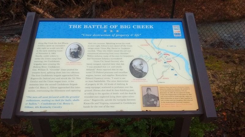
Photographed by Tom Bosse, February 10, 2018
1. The Battle of Big Creek Marker
Union Col. Israel Garrard, who barely escaped, reported later that day, "I was attacked this a.m. and totally defeated." Jones reported that he captured 775 Federal prisoners and
this page online
(sidebar)
Andrew Owen was born in Fentress County, where he worked as a farmer. He enlisted in Co. D, 2nd Tennessee Infantry (US), by December 15, 1861. He was captured at Big Creek (aka Rogersville) on November 6, 1863, and incarcerated at Andersonville, where he died of diarrhea on June 9, 1864. Aged 29, he left a widow and two daughters. He is buried in the Andersonville National Cemetery.
Pvt. Andrew Owen - Courtesy Owen descendant Sgt. Darren W. Smith, USA, Ret.
Erected by Tennessee
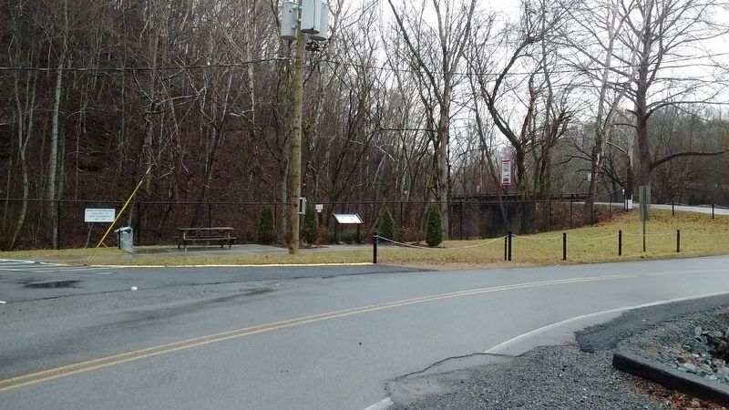
Photographed by Tom Bosse, February 10, 2018
2. The Battle of Big Creek Marker
Topics and series. This historical marker is listed in this topic list: War, US Civil. In addition, it is included in the Tennessee Civil War Trails series list. A significant historical date for this entry is November 6, 1863.
Location. 36° 25.103′ N, 82° 57.132′ W. Marker is in Rogersville, Tennessee, in Hawkins County. It is on West Bear Hallow Road north of Burem Pike (Tennessee Route 347), on the right when traveling north. Touch for map. Marker is in this post office area: Rogersville TN 37857, United States of America. Touch for directions.

Regionally, this marker is in East Tennessee and in the Tri-Cities Area. It is also in the American South, specifically in the Upper South, in Appalachia, and specifically in Southern Appalachia. Globally, it is in North America, the Western Hemisphere, the Western World, and the Anglosphere. Historically, it finds itself in what was once the original Cherokee Nation, the territory of the Mississippian Culture, one of the Confederate States of America, the State of Franklin, and the Antebellum South.
Other nearby markers. At least 8 other markers are within 4 miles of
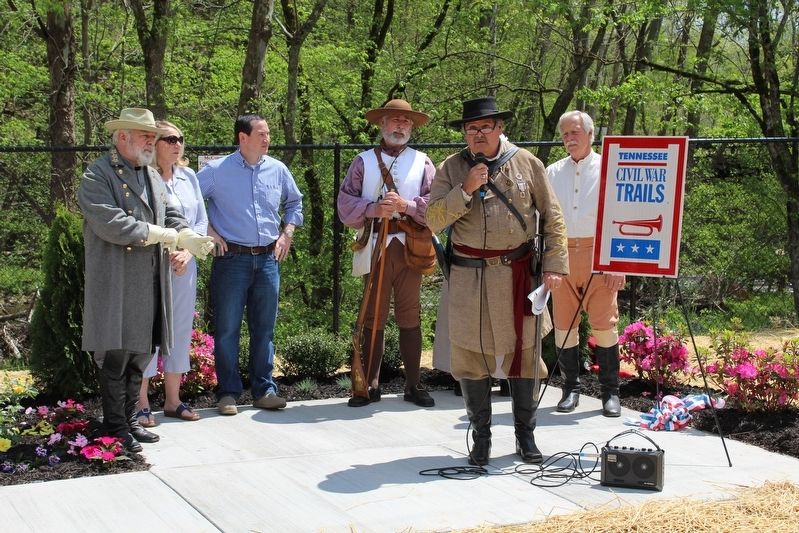
Photographed by Tom Bosse, April 23, 2016
3. Dedication of The Battle of Big Creek Marker
Another marker is no longer nearby. Chisholm's Ford (was approx. 1.7 miles away but has been confirmed missing).
Credits. This page was last revised on March 26, 2018. It was originally submitted on February 11, 2018, by Tom Bosse of Jefferson City, Tennessee. This page has been viewed 3,997 times since then and 219 times this year. Last updated on March 12, 2018, by Byron Hooks of Sandy Springs, Georgia. Photos: 1, 2, 3. submitted on February 11, 2018, by Tom Bosse of Jefferson City, Tennessee. • Andrew Ruppenstein was the editor who published this page.
