Ciudad Colonial in Santo Domingo, Distrito Nacional, Dominican Republic — Caribbean Region of the Americas (Hispaniola, Greater Antilles, West Indies)
The Church and Convent of Santa Clara
Photographed by J. Makali Bruton, March 10, 2018
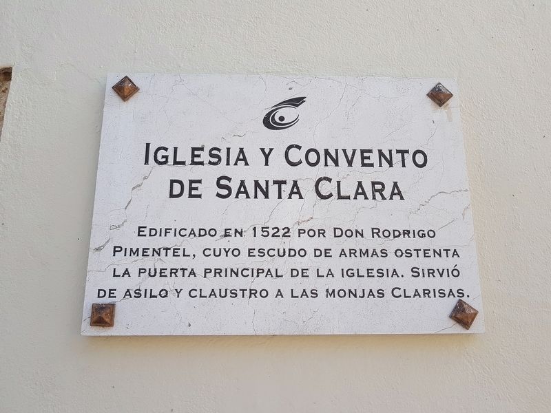
1. The Church and Convent of Santa Clara Marker

Iglesia y Convento de Santa Clara
Edificado en 1522 por Don Rodrigo Pimentel, cuyo escudo de armas ostenta la puerta principal de la iglesia. Sirvió de asilo y claustro a las monjas Clarisas.
Built in 1522 by Rodrigo Pimentel, whose coat of arms graces the principal entryway to the church. It served as asylum and cloister of the Poor Clare nuns.
Erected by Ministerio de Cultura.
Topics. This historical marker is listed in these topic lists: Charity & Public Work • Colonial Era • Religion & Religious Structures. A significant historical year for this entry is 1522.
Location. 18° 28.341′ N, 69° 52.984′ W. Marker is in Ciudad Colonial, Distrito Nacional, in Santo Domingo. It is on Calle Padre Billini just east of Calle Isabel la Católica, on the right when traveling east. Touch for map. Marker is in this post office area: Ciudad Colonial, Distrito Nacional 10210, Dominican Republic. Touch for directions.

Regionally, it is one of the Greater Antilles on the Caribbean Sea, on in the Atlantic Ocean, in North America, and in the Western Hemisphere.
this page online
Other nearby markers. At least 8 other markers are within walking distance of this marker: The Plaza of the Priests (about 90 meters away, measured in a direct line); The Founding of the Listín Diario (about 90 meters away); Diego Caballero House (about 90 meters away); Calle de las Damas (about 120 meters away); The Fortress of Santo Domingo (about 120 meters away); Francisco X. Billini (about 120 meters away); Arturo Pellerano Castro (about 120 meters away); Julia de Burgos (about 120 meters away). Touch for a list and map of all markers in Ciudad Colonial.
Photographed by J. Makali Bruton, March 10, 2018
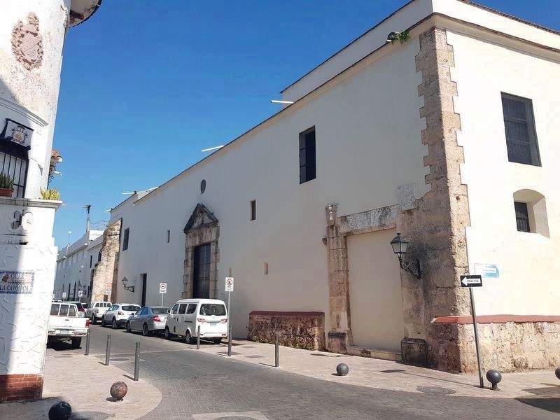
2. The Church and Convent of Santa Clara Marker
The marker can be seen here along the northern facade of the church and convent. Above the entryway seen here is a small bust of Saint Claire (Santa Clara). The heavily weathered Pimentel coat of arms mentioned in the marker appears on the door's lintel.
Credits. This page was last revised on July 30, 2018. It was originally submitted on March 12, 2018, by J. Makali Bruton of Washington, District of Columbia. This page has been viewed 410 times since then and 34 times this year. Photos: 1, 2. submitted on March 12, 2018, by J. Makali Bruton of Washington, District of Columbia.
