Darien in McIntosh County, Georgia — The American South (South Atlantic)
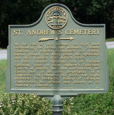
St. Andrew's Cemetery
»»——→
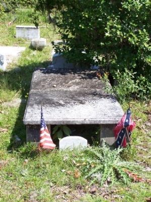
In 1867, Charles Spalding, son of Thomas Spalding, gave to Saint Andrew`s Episcopal Church in Darien the land surrounding the family plot, to be used perpetually as a cemetery. On February 20, 1876, the right Reverend Dr. Beckwith, Bishop of Georgia, consecrated the ground now known as St. Andrew`s Cemetery.
Erected 1957 by Georgia Historical Commission. (Marker Number 095-15.)
Topics and series. This historical marker is listed in these topic lists: Cemeteries & Burial Sites • Churches & Religion • Notable Places. In addition, it is included in the Georgia Historical Society series list. A significant historical month for this entry is February 1865.
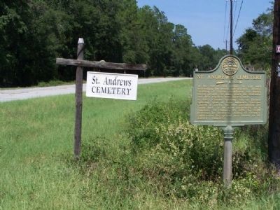
Location. 31° 22.76′ N, 81° 25.033′ W. Marker is in Darien, Georgia, in McIntosh County. Marker is on State Highway 99 near St. Andrew's Cemetery Road, on the right when traveling north. Touch for map. Marker is in this post office area: Darien GA 31305, United States of America. Touch for directions.
Other nearby markers. At least 8 other markers are within one mile of this marker, measured as the crow flies. Ashantilly (approx. ¼ mile away); Birthplace of John McIntosh Kell (approx. 0.6 miles away); The Savannah Lumber Company (approx. one mile away); 200 Years of Sawmilling (approx. one mile away); How Steam Engines Worked (approx. one mile away); Lower Bluff Sawmill (approx. one mile away); Guale Indian Village (approx. one mile away); Site of Early Spanish Mission (approx. one mile away). Touch for a list and map of all markers in Darien.
Credits. This page was last revised on June 16, 2016. It was originally submitted on September 15, 2008, by Mike Stroud of Bluffton, South Carolina. This page has been viewed 2,604 times since then and 35 times this year. Photos: 1, 2, 3, 4, 5. submitted on September 15, 2008, by Mike Stroud of Bluffton, South Carolina. • Bill Pfingsten was the editor who published this page.
