Boca Raton in Palm Beach County, Florida — The American South (South Atlantic)
The Sanborn Wall
Photographed by Ian Lefkowitz, January 10, 2025
1. The Sanborn Wall Marker
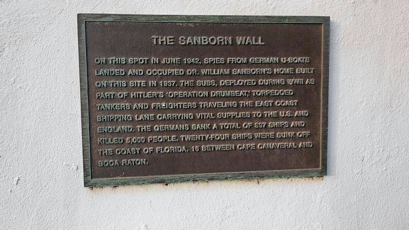
On this spot in June 1942, spies from German U-boats landed and occupied Dr. William Sanford’s home built on this site in 1937. The subs, deployed during WWII as part of Hitler’s Operation Drumbeat, torpedoed tankers and freighters traveling the east coast shipping lane carrying vital supplies to the U.S. and England. The Germans sank a total of 397 ships and killed 5,000 people. Twenty-four ships were sunk off the coast of Florida, 18 between Cape Canaveral and Boca Raton.
Erected 2005 by City of Boca Raton.
Topics. This historical marker is listed in these topic lists: War, World II • Waterways & Vessels. A significant historical month for this entry is June 1942.
Location. 26° 20.81′ N, 80° 4.251′ W. Marker is in Boca Raton, Florida, in Palm Beach County. It can be reached from South Ocean Boulevard (State Road A1A) 0.2 miles south of Palm Avenue, on the left when traveling south. Touch for map. Marker is at or near this postal address: 350 S Ocean Blvd, Boca Raton FL 33432, United States of America. Touch for directions.

Regionally, this marker is in South Florida, on the Gold Coast, on the Treasure Coast, and
this page online
Other nearby markers. At least 8 other markers are within 3 miles of this marker, measured as the crow flies: Boca Raton Fire Engine No. 1 (approx. 0.2 miles away); South Beach Pavilion (approx. ¼ mile away); Sanborn Square (approx. one mile away); Boca Raton Town Hall (approx. one mile away); F.E.C. Railway Depot, Boca Raton (approx. 1.2 miles away); Old Floresta Historic District (approx. 2.1 miles away); The Barefoot Mailmen (approx. 2.2 miles away); Boca Raton Army Air Field B-34 Crash (approx. 2.6 miles away). Touch for a list and map of all markers in Boca Raton.
Also see . . . Boca Raton Sanborn Wall. (Submitted on March 13, 2018.)
July 2, 2008
2. Sanborn Wall Marker
via NPR, unknown
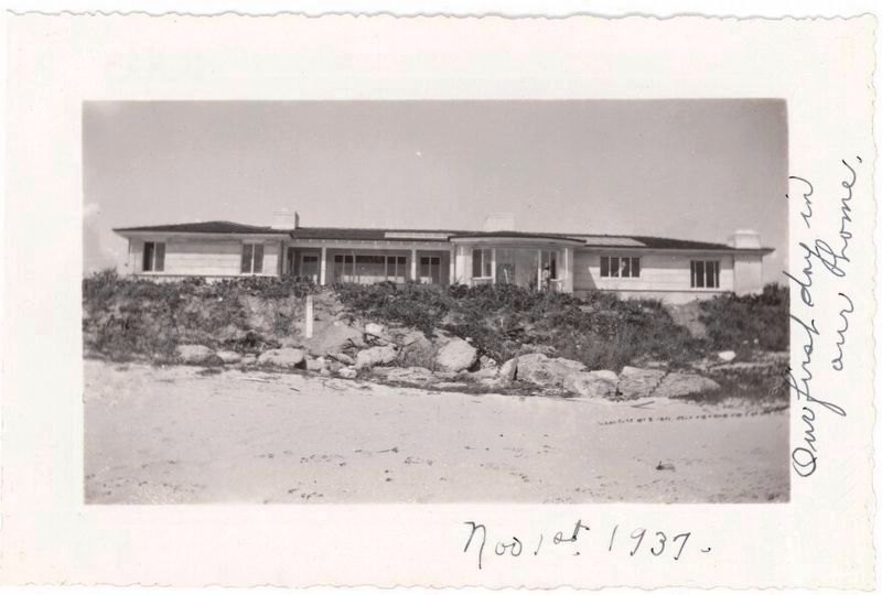
3. Sanborn home, where German spies took up residence.
WLNR South Florida Public radio website entry
Click for more information.
Click for more information.
Photographed by Ian Lefkowitz, January 10, 2025
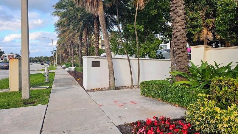
4. The Sanborn Wall
The marker is located on the south side of the wall that separates the Excelsior and Beresford condominiums.
Credits. This page was last revised on July 11, 2025. It was originally submitted on March 13, 2018, by Daniel Eisenberg of Boca Raton, Florida. This page has been viewed 1,768 times since then and 143 times this year. Photos: 1. submitted on March 17, 2025, by Ian Lefkowitz of New York, New York. 2. submitted on March 13, 2018, by Daniel Eisenberg of Boca Raton, Florida. 3. submitted on June 23, 2022, by Larry Gertner of New York, New York. 4. submitted on March 17, 2025, by Ian Lefkowitz of New York, New York. • Bernard Fisher was the editor who published this page.
Editor’s want-list for this marker. Wide shot of marker and its surroundings. • Can you help?
