Cedar Bluff in Cherokee County, Alabama — The American South (East South Central)
Indian Village of Costa
Photographed by John Holbrook
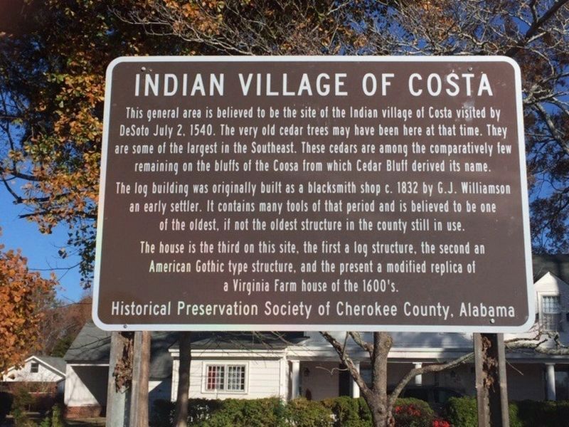
1. Indian Village of Costa Marker
The log building was originally built as a blacksmith shop c. 1832 by G.J. Williamson an early settler. It contains many tools of that period and is believed to be one of the oldest, if not the oldest structure in the county still in use.
The house is the third on this site, the first a log structure, the second an American Gothic type structure, and the present a modified replica of a Virginia Farm house of the 1600's.
Erected by Historical Preservation Society of Cherokee County, Alabama.
Topics. This historical marker is listed in these topic lists: Exploration • Indigenous Peoples and Communities • Settlements & Settlers. A significant historical date for this entry is July 2, 1540.
Location. 34° 13.216′ N, 85° 36.256′ W. Marker is in Cedar Bluff, Alabama, in Cherokee County.
this page online

Regionally, this marker is in East Alabama and specifically in North Alabama. It is also in the American South, specifically in the Deep South, in Appalachia, and specifically in Southern Appalachia. Globally, it is in North America, a Gulf of Mexico state, the Western Hemisphere, the Western World, and the Anglosphere. Historically, it finds itself in what was once the original Cherokee Nation, the territory of the Mississippian Culture, one of the Confederate States of America, and the Antebellum South.
Other nearby markers. At least 8 other markers are within 4 miles of this marker, measured as the crow flies: Cornwall Furnace (approx. 2 miles away); a different marker also named Cornwall Furnace (approx. 2.1 miles away); Cornwall Furnace Memorial Park (approx. 2.1 miles away); Cherokee County Veterans Memorial (approx. 2.1 miles away); Long Shadows House
Photographed by Angela Nichols, March 14, 2018
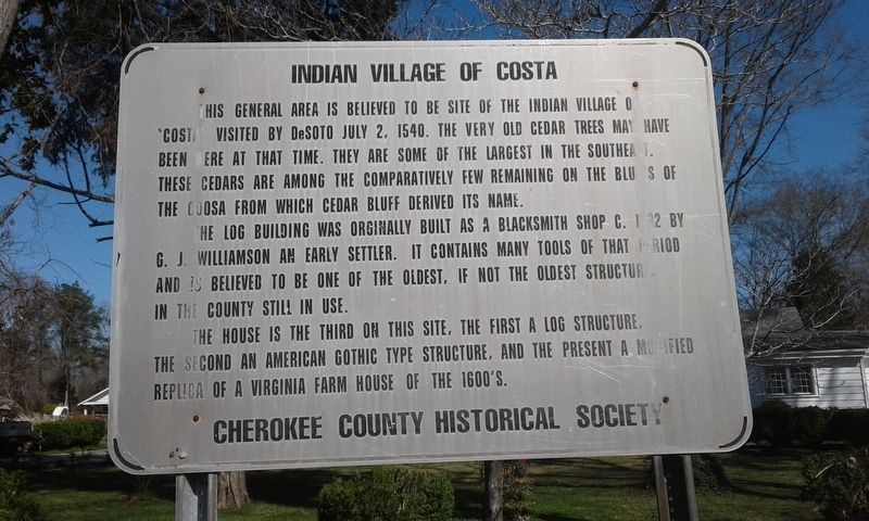
2. Previous Indian Village of Costa Marker
Also see . . . Indian Village of Costa at YouTube. (Submitted on November 25, 2025, by Angela Nichols of Centre, Alabama.)
Credits. This page was last revised on May 8, 2026. It was originally submitted on March 14, 2018, by Angela Nichols of Centre, Alabama. This page has been viewed 1,691 times since then and 90 times this year. Photos: 1. submitted on February 12, 2021, by Angela Nichols of Centre, Alabama. 2. submitted on March 14, 2018, by Angela Nichols of Centre, Alabama. • Bernard Fisher was the editor who published this page.
Editor’s want-list for this marker. Wide shot of marker and its surroundings. • Can you help?
