San Andreas in Calaveras County, California — The American West (Pacific Coastal)
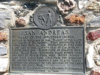
San Andreas
Heart of the Southern Mines
Erected 1930 by Calaveras County Chamber of Commerce, October 26, 1930. (Marker Number 252.)
Topics and series. This historical marker is listed in these topic lists: Industry & Commerce • Natural Resources • Settlements & Settlers • War, US Civil. In addition, it is included in the California Historical Landmarks series list. A significant historical month for this entry is June 1355.
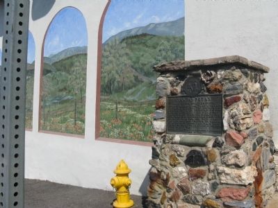
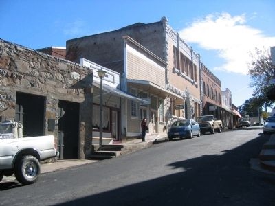
Location. 38° 11.769′ N, 120° 40.855′ W. Marker is in San Andreas, California, in Calaveras County. Marker is at the intersection of St. Charles Street (State Highway 49) and Main Street, on the right when traveling north on St. Charles Street. Marker is located on the Northeast Corner. Touch for map. Marker is in this post office area: San Andreas CA 95249, United States of America. Touch for directions.
Other nearby markers. At least 8 other markers are within 4 miles of this marker , measured as the crow flies. First Restaurant in Town (about 300 feet away, measured in a direct line); Model 1841 12-Pound Field Howitzers (approx. 0.8 miles away); Calaveras County War Memorial (approx. 0.8 miles away); The Red Barn (approx. 0.9 miles away); Calaveras County Hospital Cemetery (approx. 1.1 miles away); California Pioneers Reinterred from Poverty Bar Cemetery (approx. 1½ miles away); Chili Gulch (approx. 1.7 miles away); Double Springs (approx. 3.4 miles away). Touch for a list and map of all markers in San Andreas.
Regarding San Andreas. This site is a California Registered Historical Landmark (No.252)
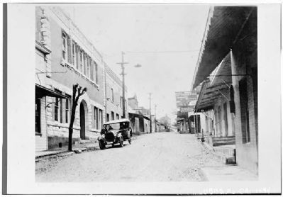
San Andreas was settled by Mexican Gold Miners in 1848. By 1850 over 1000 tents dotted the hillsides. The first church, built in 1852 was a canvas structure with a simple cross over the door designating it a church of the Roman Catholic faith. It was named for St. Andrew (San Andreas) and the name of the town was taken from this church.
In August 1852 the large San Andreas Nugget was found in a claim just north of where the town is located and sold to the Wells Fargo company for $12,000. In 1859 over $500,000 in gold dust was shipped. The channels were producing gold, although lack of water hampered the efforts of the miners until the miner's ditches were completed.
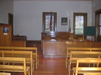
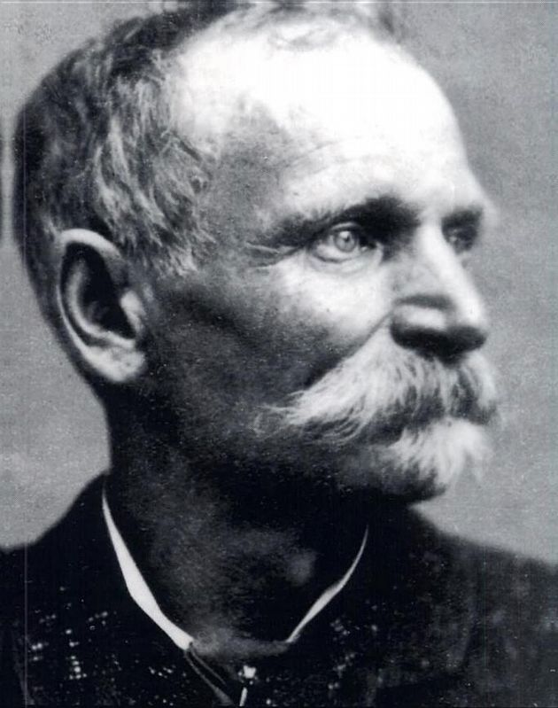
Two infamous names from the Gold Rush often tied to San Andreas, are Black Bart and Joaquin Murieta. Handsome and debonair, Black Bart was a gentleman bandit who never harmed drivers or passengers and left bits of original verse behind signed "P08". Black Bart held up the Milton-Sonora stage at Funk Hill on November 3, 1883, leaving several articles behind in his hurried flight. One of which was a handkerchief with a laundry mark traced back to a San Francisco Laundry where the mark was identified as belonging to C.E. Bolton one of the city's leading citizens. He was arrested and brought back to San Andreas where he confessed to the robbery. His trial was held in the court room in San Andreas and he was sentenced to six years in San Quentin Prison. The jail where he was held still stands and is a part of the Calaveras County Historical Museum Complex.
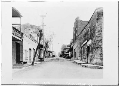
In 1866, the County Seat was moved to San Andreas from Mokelumne Hill and in 1869, a county hospital was moved to the Gold Hill house.
Source: Calaveras County Visitors Bureau
Also see . . .
1. Sierra Foothills Magazine - San Andreas. (Submitted on September 15, 2008.)
2. Ghost Towns - San Andreas. (Submitted on September 15, 2008.)
3. Black Bart - California’s Infamous Stage Robber. (Submitted on October 11, 2008.)
Photographed By Syd Whittle, November 5, 2005
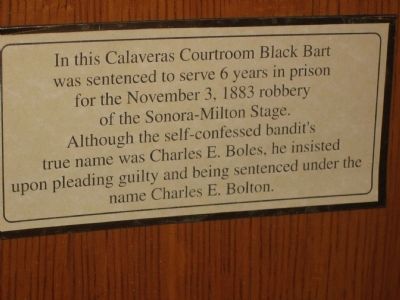
7. Marker in Court Room
In this Calaveras Courtroom Black Bart was sentenced to serve 6 years in prison for the November 3, 1883 robbery of the Sonora-Milton Stage. Although the self-confessed bandit's true name was Charles E. Boles. he insisted upon pleading guilty and being sentenced under the name Charles E. Bolton.
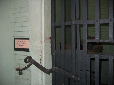
Photographed By Syd Whittle, November 5, 2005
8. Jail Cell - Black Bart's Temporary Home
Black Bart was a well known stage robber around the area.
Click for more information.
Click for more information.
Credits. This page was last revised on June 22, 2021. It was originally submitted on September 15, 2008, by Syd Whittle of Mesa, Arizona. This page has been viewed 3,666 times since then and 61 times this year. Photos: 1, 2, 3. submitted on September 15, 2008, by Syd Whittle of Mesa, Arizona. 4, 5. submitted on April 22, 2009, by Syd Whittle of Mesa, Arizona. 6, 7, 8. submitted on September 15, 2008, by Syd Whittle of Mesa, Arizona. 9. submitted on June 22, 2021, by J. J. Prats of Powell, Ohio. • Craig Swain was the editor who published this page.
