
College Park in Prince George's County, Maryland — The American Northeast (Mid-Atlantic)
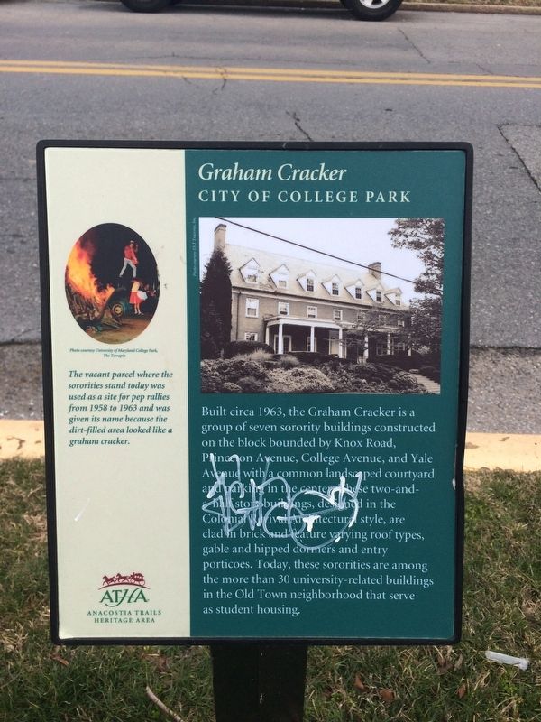
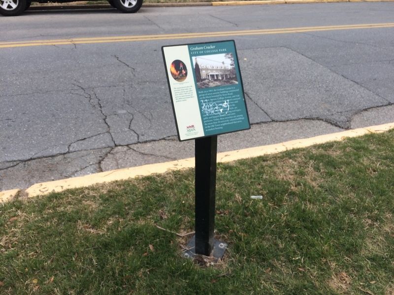
Graham Cracker
City of College Park
[Sidebar:]
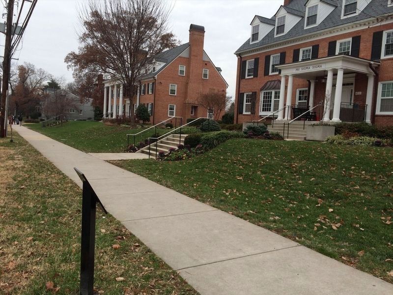
The vacant parcel where the sororities stand today was used as a site for pep rallies from 1958 and 1963 and was given its name because the dirt-field area looked like a graham cracker.
Erected by Anacostia Trails Heritage Area.
Topics. This historical marker is listed in these topic lists: Architecture • Education • Fraternal or Sororal Organizations • Women. A significant historical year for this entry is 1963.
Location. 38° 58.893′ N, 76° 56.133′ W. Marker has been reported damaged. Marker is in College Park, Maryland, in Prince George's
this page online

Regionally, this marker is in the Washington Metropolitan Area. It is also in the American South, specifically in the Upper South, in the Mid-Atlantic, and on the Eastern Seaboard. Globally, it is in the North Atlantic Region, North America, the Western Hemisphere, the Western World, and the Anglosphere. Historically, it finds itself in what was once one of the original Thirteen Colonies and also the Antebellum South.
Other nearby markers. At least 8 other markers are within walking distance of this location: "From Stagecoach to Streetcar to Subway: A College Town Emerges" (about 600 feet away, measured in a direct line); "The University of Maryland Is Deeply Rooted in History" (about 800 feet away); Holbrook House (approx. 0.2 miles away); The Zeta Beta Chapter of Order of Omega (approx. 0.2 miles away); Harrison Store (approx. 0.2 miles away); Trolley Trail (approx. ¼ mile away); Old Town
Photographed by Adam Margolis
3. Graham Cracker Marker
Photographed by Devry Becker Jones (CC0), March 16, 2018
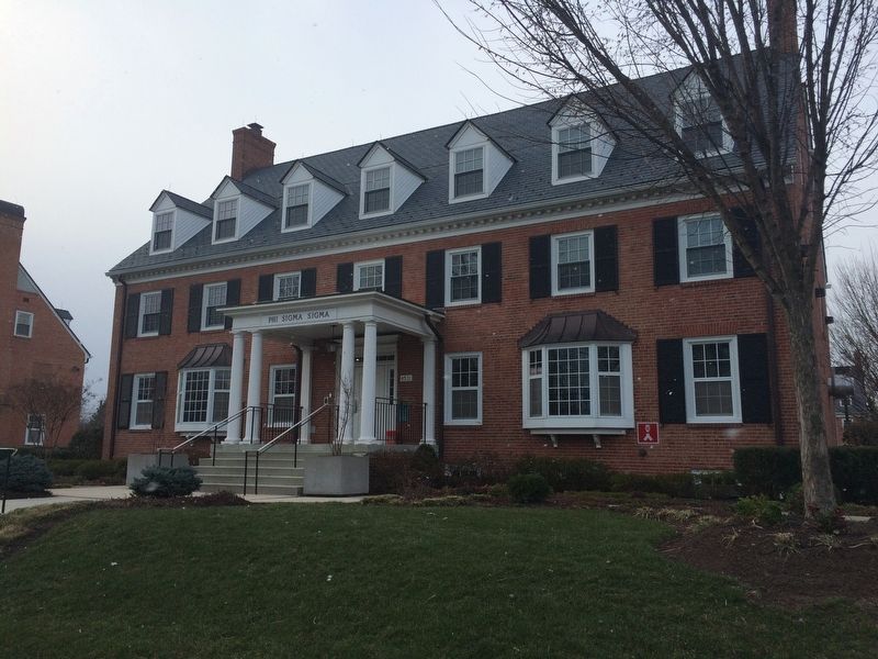
4. Phi Sigma Sigma House
Located at 4531 College Avenue, near the marker.
Credits. This page was last revised on March 27, 2024. It was originally submitted on March 16, 2018, by Devry Becker Jones of Washington, District of Columbia. This page has been viewed 2,170 times since then and 125 times this year. Photos: 1, 2. submitted on March 16, 2018, by Devry Becker Jones of Washington, District of Columbia. 3. submitted on January 9, 2022, by Adam Margolis of Mission Viejo, California. 4. submitted on March 16, 2018, by Devry Becker Jones of Washington, District of Columbia. • Bill Pfingsten was the editor who published this page.
