
Edwards AFB in Kern County, California — The American West (Pacific Coastal)
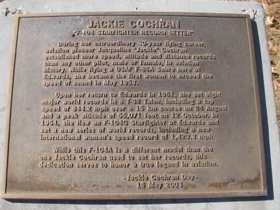
Jackie Cochran
"F-104 Starfighter Record Setter"
Photographed by Denise Boose, February 23, 2012
1. Jackie Cochran Marker
Upon her return to Edwards in 1961, she set eight major world records in a T-38 Talon, including a top speed of 844.2 mph over a 15 km course on 24 August and a peak altitude of 56,071 feet on 12 October. In 1964, she flew an F-104G Starfighter at Edwards and set a new series of world records, including a new international women's speed record of 1,429.3 mph.
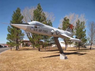
While this F-104A is a different model than the one Jackie Cochran used to set her records, this dedication serves to honor a true legend in aviation.
Jackie Cochran Day - 16 May 2003.
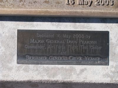
Erected 2003 by Major General Doug Pearson, Commander, USAF Flight Test Center, and Brigadier General Chuck Yeager.
Topics. This historical marker is listed in these topic lists: Air & Space • Women.
Location. 34° 55.382′ N,
this page online

Regionally, this marker is in California’s San Joaquin Valley, specifically in the Central Valley, in the Mojave Desert, and in the Sierra Nevada. It is also on the American Pacific Coast. Globally, it is in North America, on the Ring of Fire, in the Pacific Rim, in the Western Hemisphere, in the Western World, and in the Anglosphere. Historically, it finds itself in what was once New Spain and also Mexico’s Alta California.
Other nearby markers. At least 8 other markers are within walking distance of this marker: Bell XP-59A Jet Aircraft (approx. half a mile away); Sound Barrier Cracked (approx. 0.6 miles away); Rocket Engine NF-104A (approx. 0.6 miles away); The Medal of Honor (approx. 0.7 miles away); F-86F (approx. 0.8 miles away); Leaps in Technology
Photographed by Denise Boose, February 23, 2012
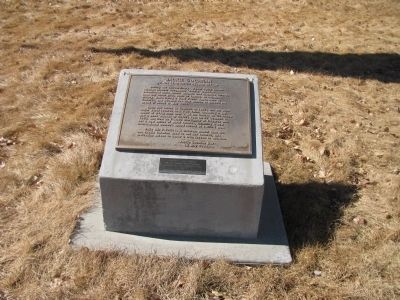
2. Jackie Cochran Marker
Photographed by Denise Boose, February 23, 2012
3. Jackie Cochran Lower Marker
Photographed by Denise Boose, February 23, 2012
4. F-104 Starfighter and Marker
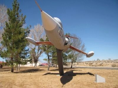
Photographed by Denise Boose, February 23, 2012
5. F-104 Starfighter
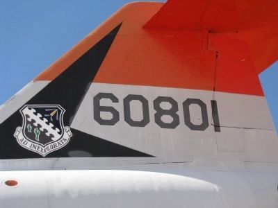
Photographed by Denise Boose, February 23, 2012
6. F-104G Starfighter Tailflash
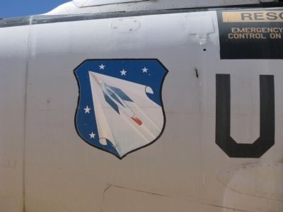
Photographed by Denise Boose, February 23, 2012
7. F-104G Starfighter Patch
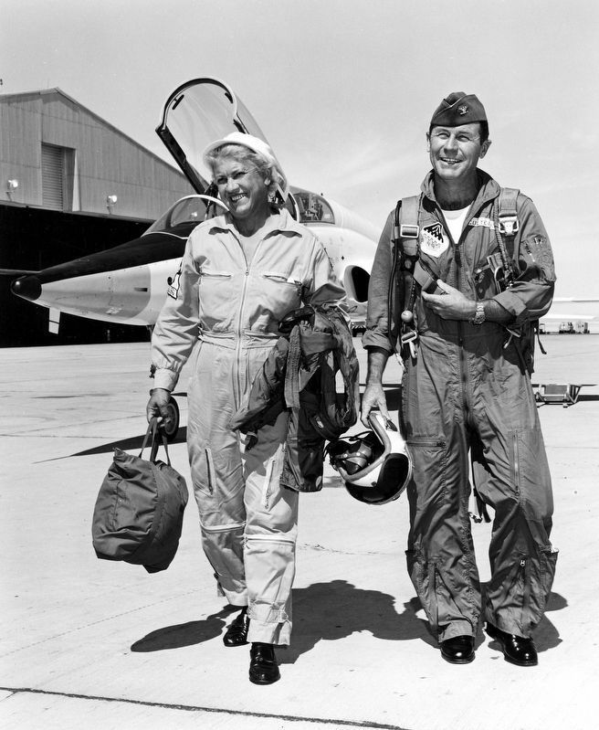
courtesy US Air Force
8. Jackie Cochran
With Chuck Yeager at Edwards Air Force Base in 1962 after a flight in a T-38.
Credits. This page was last revised on February 22, 2026. It was originally submitted on March 2, 2012, by Denise Boose of Tehachapi, California. This page has been viewed 1,351 times since then and 14 times this year. Last updated on March 16, 2018, by Craig Baker of Sylmar, California. Photos: 1, 2, 3, 4, 5, 6, 7. submitted on March 2, 2012, by Denise Boose of Tehachapi, California. 8. submitted on March 20, 2018, by Craig Baker of Sylmar, California. • Andrew Ruppenstein was the editor who published this page.
